2/23 – Brittany’s “Warm Once Again” Thursday Night Forecast
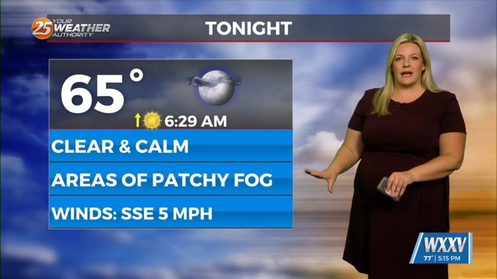
Morning lows will still be quite warm but they should be back in the upper 60s at least. This is still on the warm side but given how much the dewpoints fell this afternoon as we mixed out, temps will probably drop quickly early this evening with locations near the coast becoming saturated quite quickly. Water temps in the lower to mid 60s across the nearshore waters and tidal lakes and upper 60s to lower 70s dewpoints streaming over top, we should be able to see marine fog start to develop quickly this evening with MS Sound and the northern half of Lake P likely the first candidates for fog. This will be more of an advection fog initially likely infiltrating with radiational fog trying to slowly develop farther inland but the thickest will be closer to the coast Fog is likely not going to be a one a done issue likely causing problems again Friday night but will dig more into that tonight and tomorrow.
As for temps tomorrow and through the weekend. with morning lows this morning in the lower 70s across most of the area that was around 20-25 degrees above normal, just plain nasty. So what about the next few morning, well morning lows will continue to be WELL above normal but with lighter winds and especially the better mixing today temps should be able to drop into the mid to upper 60s again tonight and tomorrow night. Models for some reason want to show lows in the upper 50s to lower 60s and that feels a tad too optimistic without any real airmass change. NBM is a good bit warmer with lower to mid 60s but that may even be too cold but given it is a good 5 degrees warmer than most of the MOS will stick with it.


