2/16 – The Chief’s “Unseasonably WARM” Thursday Morning Forecast
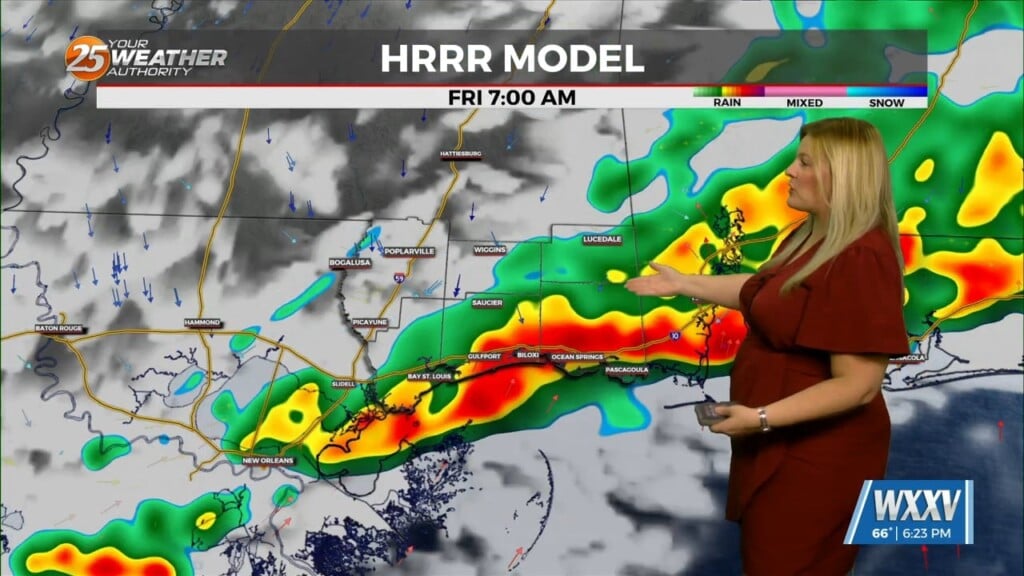
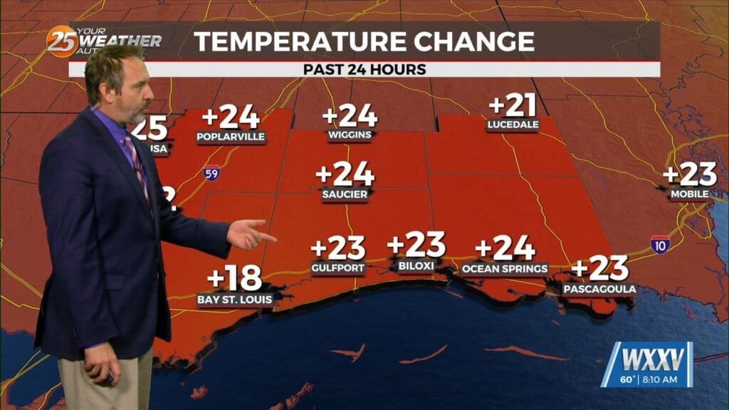
The old stalled cold front that retrograded west has primed the area with warmth and instability. But there is still a weak cap in the low levels of the atmosphere. This will get quickly lifted and become unstable as the front approaches. Basically, the area should become surface based later this morning. Severe weather variables are not remarkable as far as shear values but are definitely high enough to be noticed. Moving north from our local area, severe potential increases. All modes of severe weather will be on the table, with hail potential being the lowest of these variables to occur. Even though we could be the launching pad for areas to the north, it will need to be closely monitored locally as well and it is very likely that a few storms could become severe before moving out of the area.
The cold front moves through and NW winds will bring in dry cool air by late today. No issues expected Friday other than breezy conditions and cooler dry air settling in the area. Friday night will see winds ease to calm in many locations and a very good radiational cooling night will take place. Temps should easily fall to freezing in many locations over the northern portion of the area and since there has been some warm days and there are some plants with new growth, this could be an issue for those plants. But we will deal with that after the front moves through.The next system could be seen by mid next week and at the moment, it looks like a line of showers/t-storms with a slight chance of getting a strong or severe t-storm along the frontal boundary.


