12/19 Ryan’s “Dense Fog” Wednesday Night Forecast
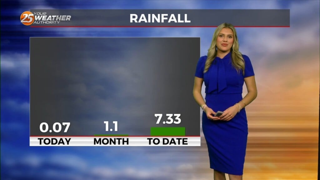
We knew today would be the wettest day of the week and it is finally here, and a Dense Fog advisory has been issued until tomorrow morning! There were a few sprinkles early on, but the first of the significant rain didn’t begin until the afternoon. At this time only a half an inch of rainfall has fallen, but at least another inch is expected through the rest of the night and all day Thursday.
THINGS WILL BEGIN CLEARING UP FRIDAY MORNING WHICH WILL, AS THE FIRST DAY OF WINTER, ALSO BE APPROPRIATELY THE COOLEST OF THE WEEK.
The afternoon high will fall into the upper 50s and our overnight low down into the upper 30s, meaning a little frost is possible. The cool-down doesn’t last long though, and we’ll climb almost to 70 by Sunday. There will be some weak impulses moving in as we begin next week which will keep the temperatures fluctuating subtly as Christmas rolls around. It won’t be enough to bring about a white Christmas, but it will keep Christmas day temperatures out of the 70s despite all the sunshine…barely.


Leave a Reply