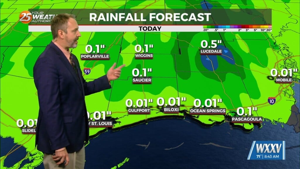
11/29 – Jeff’s “Turning More Mild” Wednesday Afternoon Forecast
Winds turn southerly this afternoon which will begin the transition in our local weather pattern. Some upper-level clouds move in through this afternoon but otherwise, expect mainly sunny conditions. Tonight will be less cold with frost and freeze concerns off the table.
Southerly flow will become more pronounced as high pressure pulls east and a frontal system makes its way into our region. More cloud cover can be expected Thursday with rain chances gradually becoming a factor the second half of the day.
A 60% chance of showers and thunderstorms with the initial cold front will be in play Friday. There will be the potential for strong wind gusts and isolated pockets of flooding with some activity. Dry time will be around, but expect more thunderstorms and heavy rain during a window of time from late-Friday into Saturday.


