11/20 – Jeff’s “Severe Thunderstorm Potential Overnight” Monday Afternoon Forecast
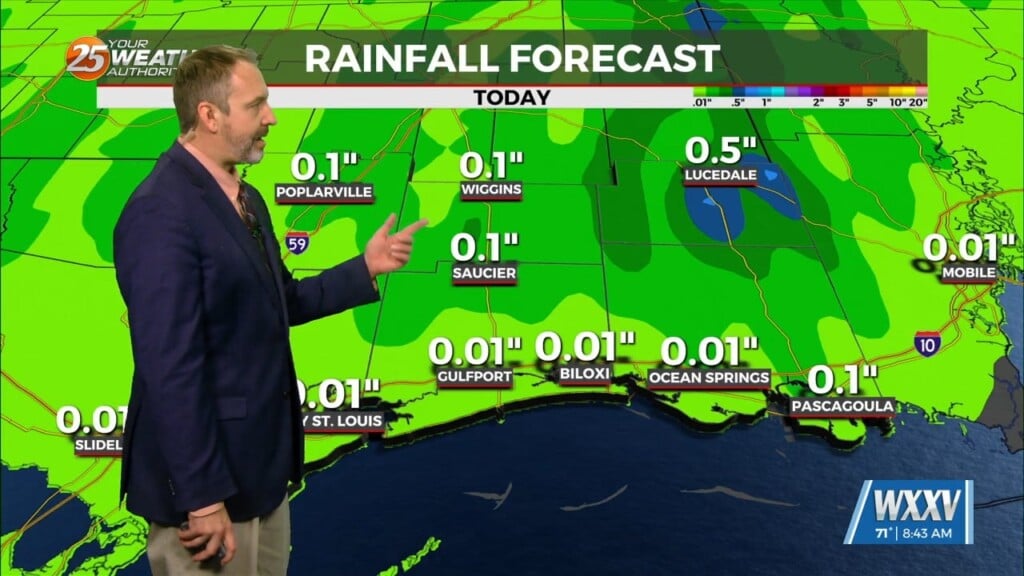
Cloud cover will be dominant this afternoon with humidity continuing to increase. There will also be a 30-40% chance of isolated showers with an embedded rumble of thunder or two. Southerly winds will continue to usher in moisture ahead of a cold front that moves into our area tomorrow morning.
South Mississippi is under a Level 2 of 5 threat for severe thunderstorms tonight into early tomorrow morning. Areas to our north and northwest will find the best dynamics for more strong thunderstorms. Our area will see a squall line move into the area, bringing with it the possibility of strong straight-line winds and very isolated spin-up tornadic activity.
The window of time for this activity will be between 10 PM tonight and 6 AM Tuesday morning. Heavy rainfall will be possible at times, too. The cold front clears the area tomorrow morning and cloud cover will stick around.
Skies clear some for Wednesday but upper-level clouds will still stream through our region. For the end of the week, an area of low pressure will form in the western Gulf of Mexico. It will track east/northeast and bring cool, damp conditions with rain in play Thanksgiving into Black Friday.


