11/20 – Jeff Vorick’s “Rapid Changes/Severe Potential” Monday Morning Forecast
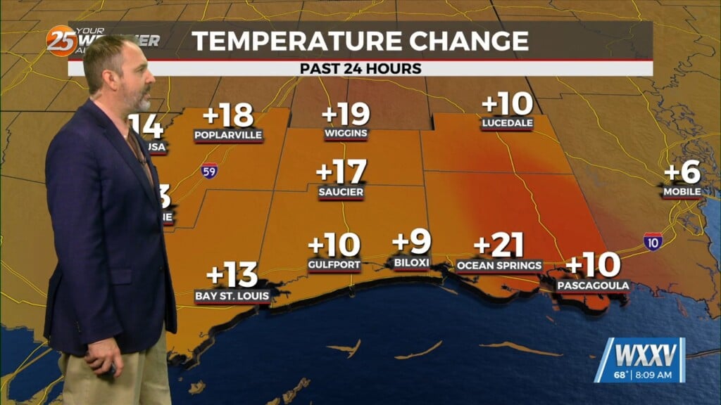
Today starts off with cool-to-mild conditions that will change through the day. Southerly winds will help increase moisture, especially this afternoon. This all happens ahead of a cold front that arrives tomorrow morning. Expect increasing clouds through the day and the potential for isolated showers with a rumble of thunder or two this afternoon and evening.
There is a Level 2 of 5 risk for strong to severe thunderstorms tonight into early Tuesday morning. A line of thunderstorms will form ahead of the aforementioned cold front and push into our area. The window of time for the potential for strong straight-line wind gusts and very isolated tornadic activity will be between 10 PM and 6 AM.
Thunderstorms will exit the area tomorrow morning but cloud cover will remain following the passage of a cold front. Skies will clear somewhat into Wednesday with only upper-level cloud cover streaming in. Towards the end of the week, an area of low pressure will form and traverse the Gulf South. Cold, damp conditions will be around at times for Thanksgiving and Black Friday.


