10/30 – Jeff Vorick’s “Cold Front Brings Changes” Monday Evening Forecast
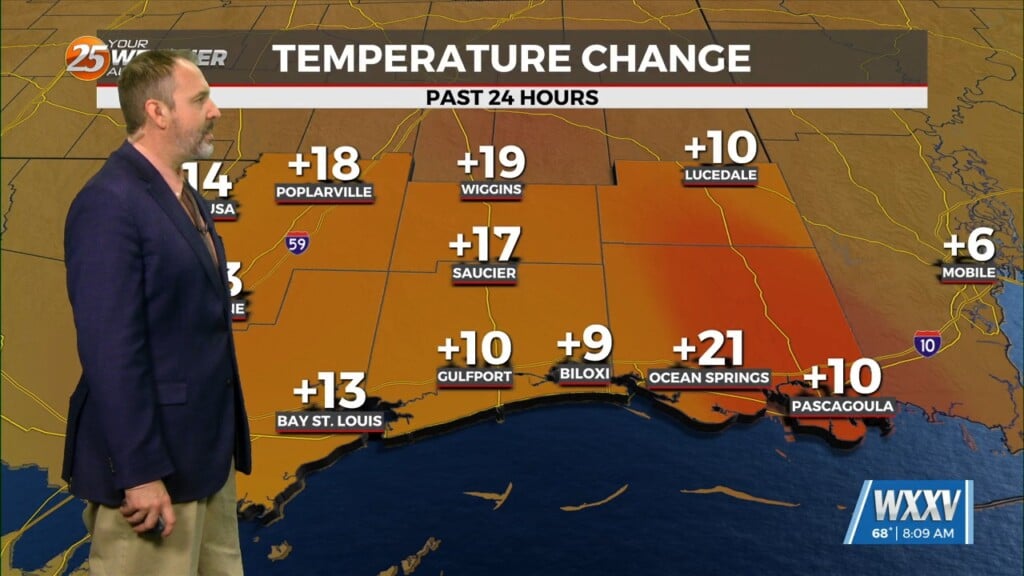
A cold front has moved through our area and big changes are taking place behind it. Temperatures are already much cooler compared to earlier and winds have picked up. Expect a much cooler start tomorrow with breezy, if not windy conditions. Rain will also begin to move in overnight after midnight.
Coverage of light rain will peak at around 30-40% shortly after daybreak tomorrow. Cloud cover will also be dominant tomorrow and winds will pick up throughout the day. Winds will be over 25 – 30 MPH at times. Rain will move out by the afternoon and some clearing could take place before the end of the day.
A Red Flag Warning will be in place from 10 AM – 7 PM Tuesday, and could possibly be put in place Wednesday due to dry conditions and elevated winds. The coldest nights will come Wednesday and Thursday morning when winds back off and skies are clearer. More sunshine can be expected for the middle of the week and a gradual warm-up begins for the end of the week.


