10/3 – The Chief’s “Beautiful Cruisin’ Weather” Tuesday Afternoon Forecast
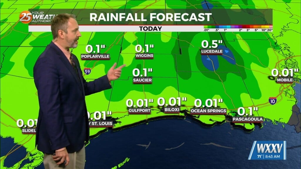
High pressure to the NE continues to shape the forecast but as expected, models have backed off of bringing showers into the area from the gulf for Wed. There will be more showers and maybe a t-storm or two over the coastal waters. Models continue to show bridging of the cold front as it moves toward the area. This would cause the line of showers/t-storms along the front to begin decaying before it gets here. Even though there could be several areas of showers existing along and ahead of the front, no large rain amounts are expected that could be drought busting.
Cloud cover should be the most prevalent thing noticed. The high pressure that is over the area currently will get forced east and NE, slowly giving way to the new high moving in, but the old high will take its time in moving which should keep most of the moisture loading showers near the coast Thursday while the best forcing will be with the front as it moves through which will give the best chance of rain Friday. As the front clears the area Friday; high pressure to the NW will begin to move in eroding cloud coverage. A drier air mass will also move into the area for the weekend.


