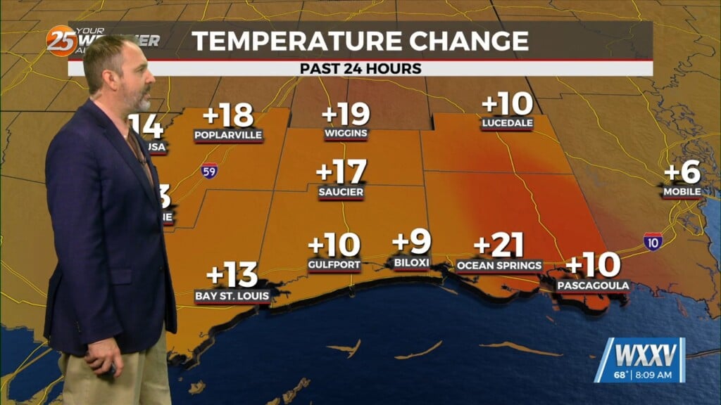
10/25 – The Chief’s “A Few Showers Possible” Wednesday Morning Forecast
Fog development has been hampered this morning due to the increase in surface winds due to the developing surface low over the central US, this has kept the boundary layer mixed enough. The disturbance over northern Mexico is promoting its development as it ejects over the southern plains. High pressure over the GOM will keep the disturbance too far north to influence us. High pressure is expected to stay over us through the end of the week and keep the weather mostly benign.
Thursday will be much of the same as today as high pressure remains in place. The surface winds will stay elevated enough to keep any fog concerns at bay. We mainly will just keep the above normal temperatures along with mostly dry conditions.
Models suggest high pressure will stay parked over the northern Gulf through the weekend. This will keep us mostly dry with above normal temps through that time frame (upper 70s is normal highs for this time of year). However, things get interesting in the beginning of next week. Most of the guidance suggests a cold front will come through sometime on Monday. Now if we see rain with it is questionable. Most of the guidance has hit or miss rain chances with the front, so did not deviate from that. There seems to be a substantial spread in the guidance in terms of temps behind the front (mid 70s versus low 60s for highs.


