10/18 – The Chief’s “Warming Trend Ahead” Wednesday Morning Forecast
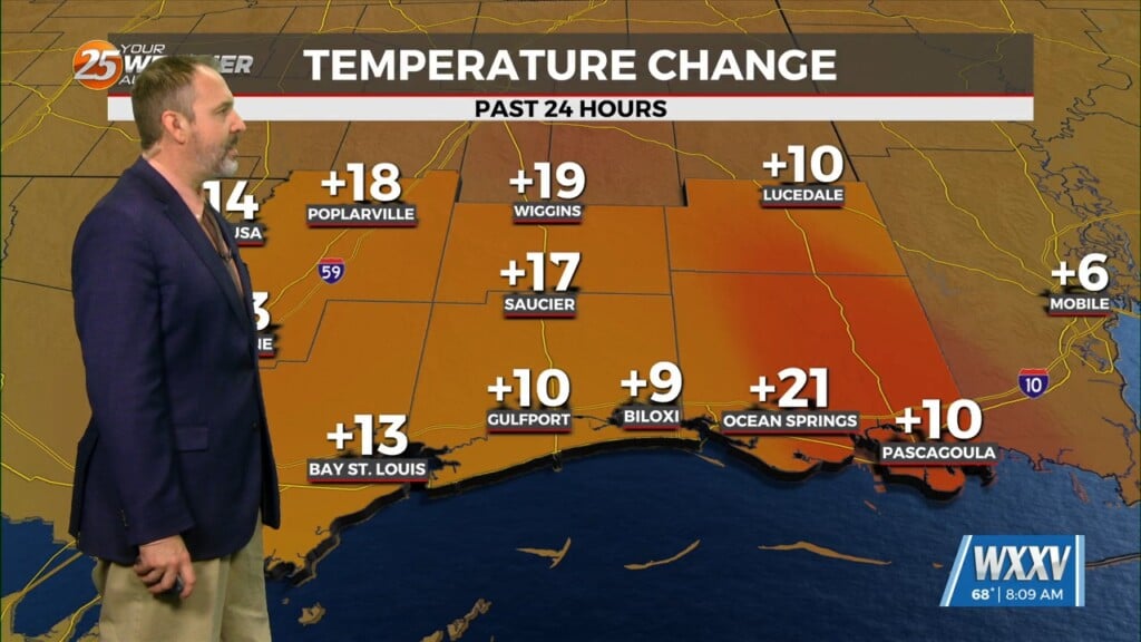
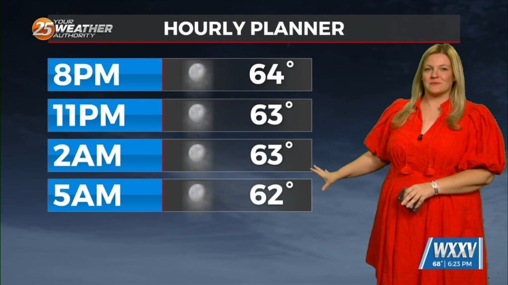
High pressure yesterday just west of Shreveport/Bossier City La has shifted to our NE. This will innate the return flow from the Gulf of Mexico. Warmer more humid conditions are ahead with temperatures warming above seasonal norms. It’s going to be difficult to get much in the way of clouds, let alone precipitation, through at least tonight. The area could see a few flat cumulus by late in the day across southern portions of the area, but that’s about it.
If the area is going to receive any rain at all over the next week, it’ll occur Thursday afternoon or Thursday night, as a disturbance diving through the Great Lakes and Ohio River Valley into the eastern trough pushes a cold front into the area. I can’t rule out a rumble or two of thunder along the front, but precipitation should primarily be rain showers in areas that see any precipitation at all. I wouldn’t be surprised if I need to back off of the rain chances that are in the current forecast. Beyond early Friday morning, I don’t see much of a signal for precipitation across the local area through early next week.


