10/17 – The Chief’s “Cool, But Warmer Temps Ahead” Tuesday Morning Forecast
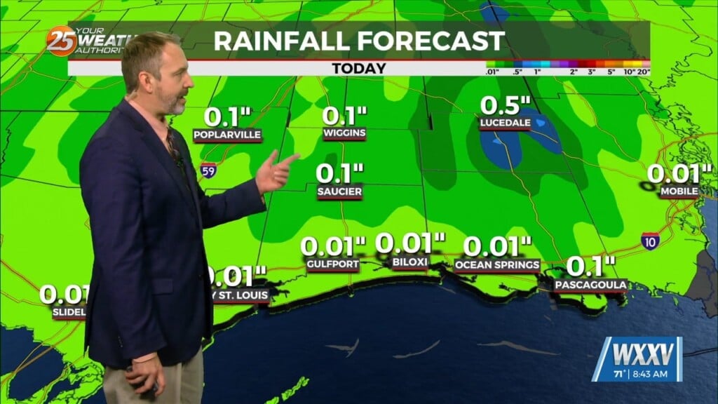
An upper level disturbance extends from off the New England coast to the Carolinas, down to the northeast and central Gulf of Mexico. High pressure was noted over the Rockies, with a strong disturbance diving down the east side of the high pressure toward Lake Superior. Another disturbance was climbing the west side of the high pressure over British Columbia. High pressure will slide eastward to the Atlantic Coast by Wednesday afternoon, eventually turning low level flow onshore by Wednesday afternoon. This will cut off any cold air advection later this afternoon and overnight, with dew points moderating late in the day Wednesday. Going to be difficult to get much in the way of clouds, let alone precipitation, through at least midday Wednesday. Could see a few flat cumulus by late in the day Wednesday across southern portions of the area, but that’s about it. Expect to find cool temperatures increases in high temperatures today and again on Wednesday, as compared to Monday.
If the area is going to receive any rain at all over the next week, it’ll occur Thursday afternoon or Thursday night, as a disturbance diving through the Great Lakes and Ohio River Valley into the eastern trough pushes a cold front into the area. I can’t rule out a rumble or two of thunder along the front, but precipitation should primarily be rain showers in areas that see any precipitation at all. I wouldn’t be surprised if I need to back off of the rain chances that are in the current forecast. Beyond early Friday morning, I don’t see much of a signal for precipitation across the local area through early next week.


