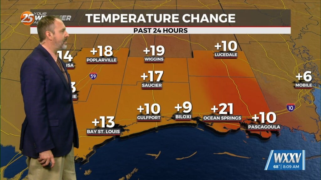
10/12 – The Chief’s “Cloudy & Damp” Thursday Morning Forecast
The low pressure system that brought some measurable rainfall across the region yesterday as well as gusty winds will continue to move downstream today. In the wake of the system, low level pressure field is breaking down allowing for winds to become lighter from west to east. Aloft, the parent support will also continue east fairly rapidly in the active southwesterly flow aloft. In the wake of this feature, upper level high pressure will take shape through most of the short term period. Although the upper levels dry, there will remain a weak residual stationary front to our south. Cloud coverage will continue so these areas are where the warmer temperatures will be found today with the coolest over the Mississippi Gulf Coast where low stratus may linger.
Tonight, additional low stratus is likely to develop especially where we do clear. Assuming there is some residual low level moisture/wet soils around, some radiational fog will develop as skies clear and winds go to near calm. At this juncture, think the best potential will be from McComb southward to Livingston and on south from there to Houma and points west.
Friday will start at least a brief warming trend again as high pressure continue to modestly increase. The warmest temperatures are expected Saturday after a weak dry front move through the area. Temperatures will once again drop well below seasonal values Sunday into next week.


