10/08 Ryan’s “Coolest” Friday Night Forecast
We're at the peak of our dry air at the surface, meaning our coolest morning is on the way but we go the other way quickly.
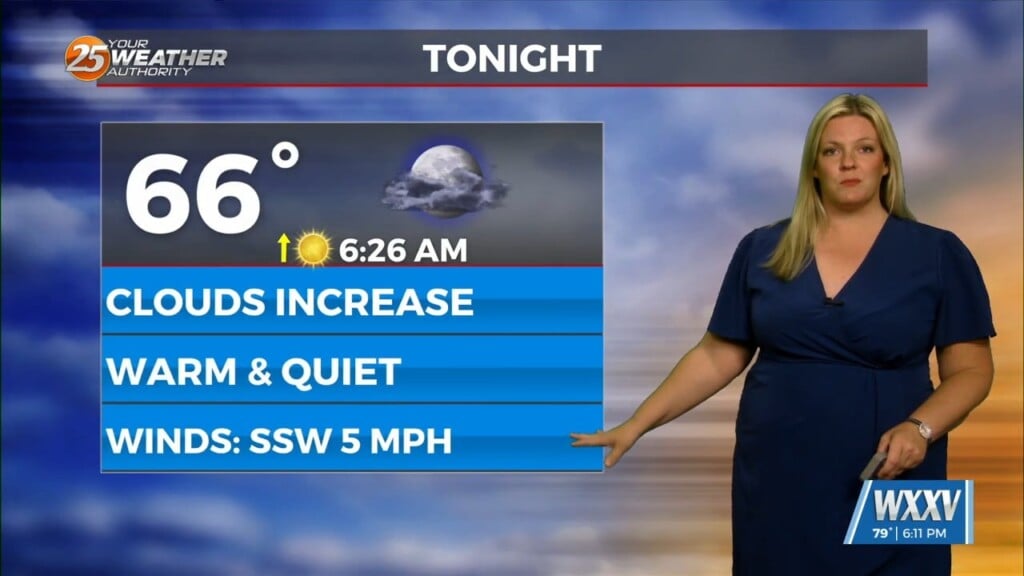
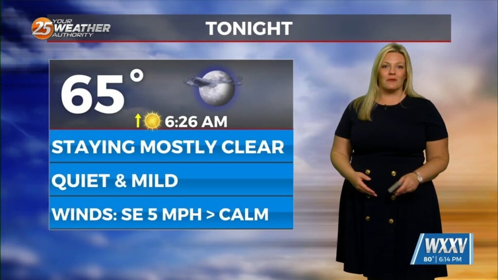
Expect another sunny day tomorrow afternoon, but also our coolest start of the week as well. Otherwise, don’t expect any big changes, and tomorrow afternoon will likely even warm a degree or so. Not so tonight though as our calm, clear conditions will get us about as cool as possible, down to 64 degrees.
Tomorrow’s high lingers about where it was today, but I wouldn’t be surprised to see a low 90 pop up along the coast.
By the evening we’ll see more upper level cloud cover moving in, but overall sunny skies will reign through Monday. After that though, expect more humidity and low-level cloud cover as we return to “late summer-like” weather. That means hot afternoons, muggy humidity, and a low chance of afternoon showers and thunderstorms. We will cool off a bit by then, down into the low 80s, but that’s still above October’s seasonal average.


