1/31 – Jeff’s “Welcome, February” Wednesday Night Forecast
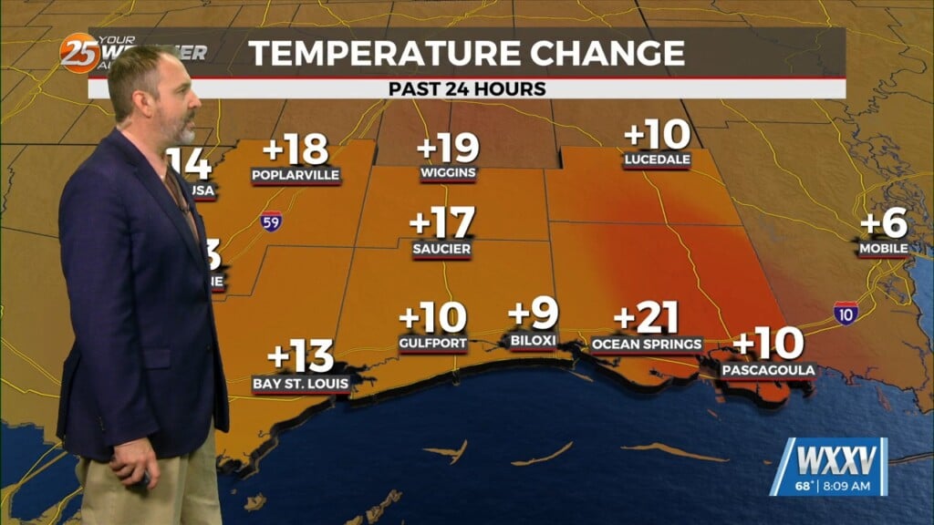
Temperatures will be colder overnight compared to what we started with Wednesday. Clouds will increase tonight into tomorrow as an active branch of the jet stream will stream in mid-level and upper-level clouds. With that, Thursday will be cooler as temperatures will barely warm into the 60s. Sunshine returns for the end of the week as Friday will be a warm one. Even much of Saturday will be pleasant across our area.
Rain does arrive late Saturday into early Sunday as a more active storm track settles in for the region. Heavy rain will be possible before daybreak Sunday leading to localized pockets of flooding. A gloomy and possibly dreary time will still stick around Sunday into Monday.


