1/31 – Jeff Vorick’s “Turning Cooler” Wednesday Night Forecast
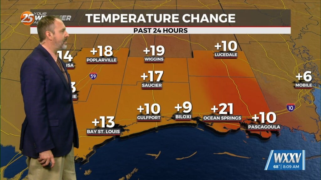
After a warm afternoon, temperatures will drop pretty quick this evening. Clouds increase overnight and temperatures will bottom out just below seasonal averages with 30s inland and 40s along the beachfront. Mid-level and upper-level clouds stream in tomorrow which will keep temperatures from reaching the warm levels we’ve had the last few days. The piece of the jet stream responsible for Thursday’s clouds will depart by the end of this week, leading to sunnier skies Friday.
The lull will be short-lived as an active storm track makes its way into South Mississippi this weekend. Saturday will be dry for much of the day until the afternoon and evening when rain chances go up. Heavy rain will be possible overnight Saturday into Sunday which is why our area is outlined for the risk for localized flooding. Severe weather is not expected but it will remain gloomy Sunday and Monday.


