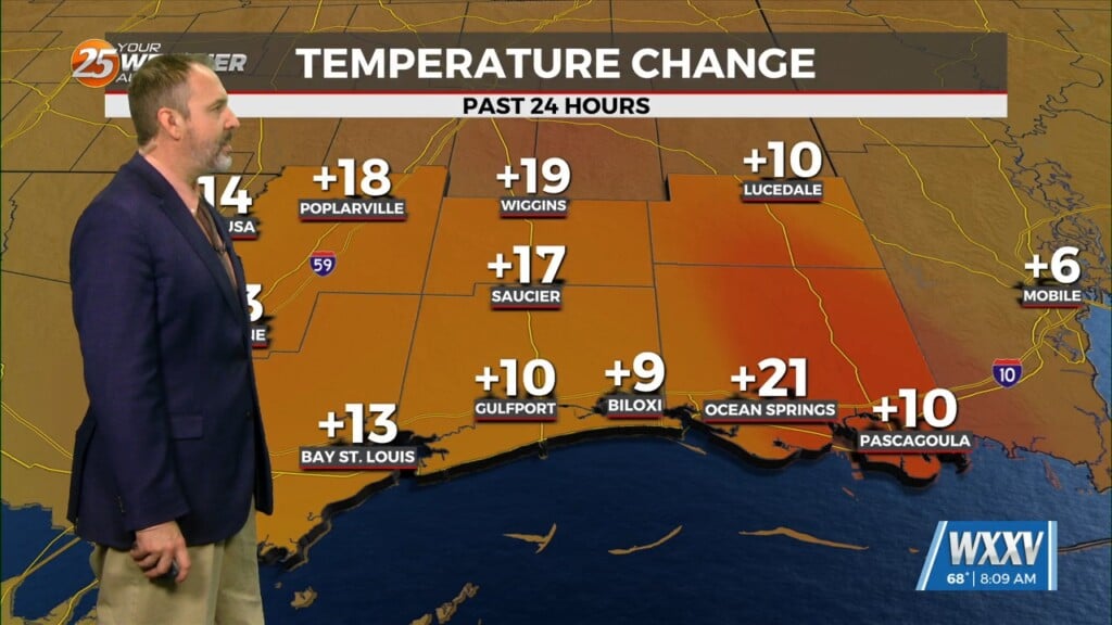
1/24 – Jeff’s “More Rain/Thunderstorms” Wednesday Night Forecast
Isolated to widely scattered thunderstorms can be expected overnight. Sea fog will also create reduced visibility if you’re not already finding it from rain. Coverage of rain will pick back up again tomorrow with a line of thunderstorms that makes it into South Mississippi during the late-morning and afternoon timeframe. Thunderstorms will be capable of very heavy rain, strong wind gusts, and isolated tornadoes.
Some lull in activity is possible into Friday but a 60% chance of thunderstorms is still in play. The final wave of thunderstorm chances comes with a cold front late Friday into the first part of Saturday. Skies will rapidly clear out Saturday and our area will remain rain-free into next week.


