1/10 – Jeff’s “End of Week Storm System” Wednesday Night Forecast
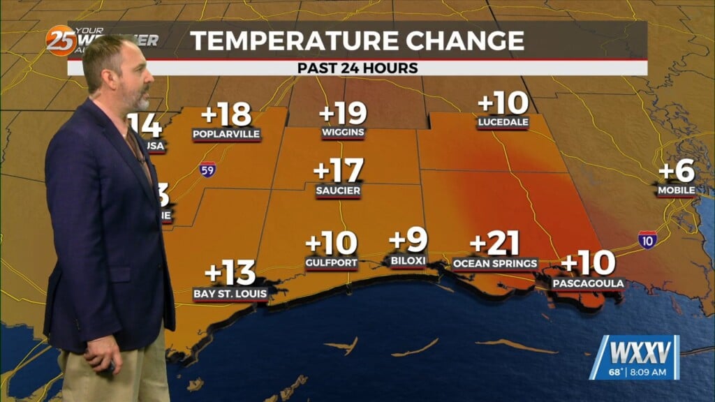
It will be slightly less cold overnight and along with that, some clouds will move in and winds will be fairly light out of the south. Southerly winds will help warm the temperatures in a good way tomorrow afternoon with above-average readings likely! Partly cloudy skies are possible at times in the form of thin mid-level and upper-level clouds. For the end of the week, there will be a frontal system moving through the region yet again.
There is the possibility for severe thunderstorms Friday morning through about midday. Our area is under a Level 2 of 5 risk for severe thunderstorms due to the possibility of hail, damaging wind gusts, and very isolated spin-ups. The best ingredients for widespread severe thunderstorms will be to our east. A brief cold shot arrives for the start of the weekend but a major cold blast is on the way early next week.


