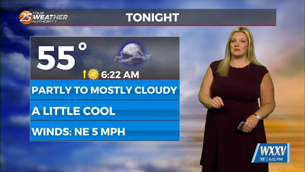
09/07 Ryan’s “Locally Perfect” Thursday Forecast
While the nation watches Irma with nervous anticipation, the weather locally couldn’t be more perfect. A ridge has moved in and will continue to strengthen, then linger over the area for the next week or so, bringing considerably drier and sunny weather to South MS. Temperatures will fluctuate between the mid-to-upper 80s all week long, but the lower humidity will keep the “feels like” conditions within a few degrees of the actual temperature. This ridge, and it’s associated front, will be integral in deciding the final path of Irma when they interact Saturday afternoon.
Irma: Irma’s track remains largely consistent with the last few days, but continues to shift between being adjusted slightly East, then again slightly West. The uncertainty in the forecast comes from the differences in the strength of the front. A stronger front will erode more of the Atlantic ridge away, allowing for a more Eastward path, while a weaker front will allow more the storm to travel further Westward. Regardless, the size and power of the storm will relegate this information to mere trivial information, since the destructive force will extend outward for hundreds of miles in any direction. Landfall expected between Key West and Miami on Sunday. Conditions remain nearly perfect for further intensification, so this will be a devastating storm wherever it goes.
Jose: Jose intensified into a Category 3 hurricane this afternoon, making it the third major hurricane of the season, and the second active right now. This storm’s track has also been forcing it further Westward, meaning it could reach the Lesser Antilles (already nearly destroyed by Irma) on Saturday as a Category 3 or 4 hurricane. Residents of the Northeaster Caribbean islands should prepare for another disaster.
Katia: Katia is expected to continue strengthening over the next 2 days, reaching at least Category 2, if not Category 3 status by Saturday morning. A strong ridge is building in Northern Mexico, and the winds will push the storm Southwest into the Veracruz area of Southern Mexico. This area should be on alert, and watch for Katia’s possible intensification.


Leave a Reply