05/15 Ryan’s “Coolest, Driest” Friday Afternoon Forecast
Today started the coolest and driest of the week, but warmer, more humid air moves in quickly.
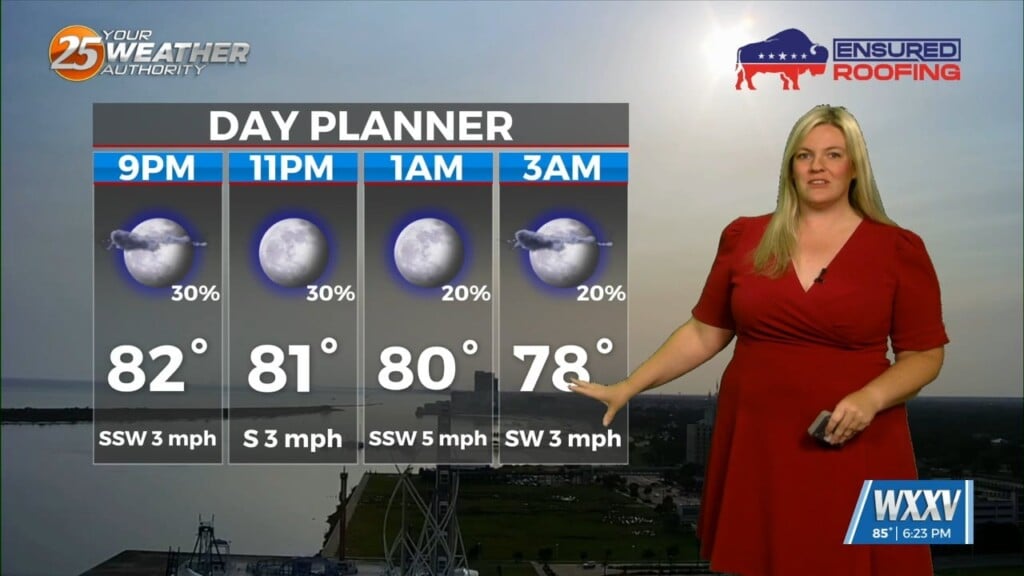
Today was the coolest and driest we’ll get with the few fronts we’ve seen over the last several days, as dewpoints fell into the “comfortable” range in the 50s. Return flow has set up due to the high moving east of us, bringing southerly winds and higher dewpoints as we head through the weekend. Cloud cover will also become more noticeable as the high weakens, allowing light cloud cover today but much more over the weekend. Rain will still likely hold off until next week, but at least a few short-lived showers or sprinkles are possible starting Sunday afternoon. Rain chances linger in that “possible, not likely” range until the end of the week when they bump up slightly to 20%.
For today, expect mostly sunny skies and a slightly cooler, drier high near 81. A few more noticeable clouds will move in overnight, getting tomorrow’s low up into the mid 60s.