The Chief’s “Cooler/Drier Air Mass” Monday Afternoon Forecast
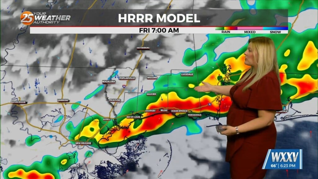
The main story is a cold front overhead moving SE. The upstream support will press east allowing the high to surge the front south and east through our area this evening. Not anticipating a sharp wind shift/moisture gradient as it swings through as overall it is a relatively weaker front, but lower surface dew-points will bleed into northwestern areas later this morning, with the front reaching around I-10/12 around noon +/- a few hours.
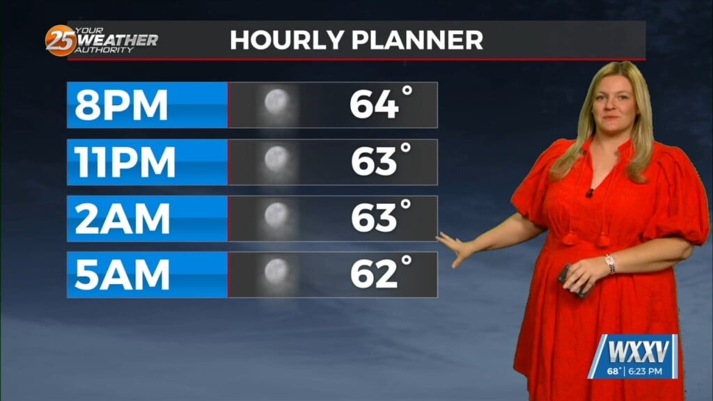
Similar situation to yesterday where daytime heating struggle to attain enough vertical depth to become strong or produce a lot of lightning, however this go around we will have subtle forcing associated with the front pressing south. Scattered showers will increase some as the front swings south, with greatest coverage potential south of I-10/12 during peak heating but again, will struggle to attain sustainable heights to produce any stronger storms. Very pleasant overnight tonight with no direct impacts within building subtle cold air moving in with overall subsident/drying of the atmosphere.
As we get into Tuesday night and Wednesday morning, the “cold” front will have made it through the area and stall around the northern gulf coast. The word cold is used loosely because the main feature of the front will be the different in moisture behind the front. All in all a pleasant “September” week is ahead.


