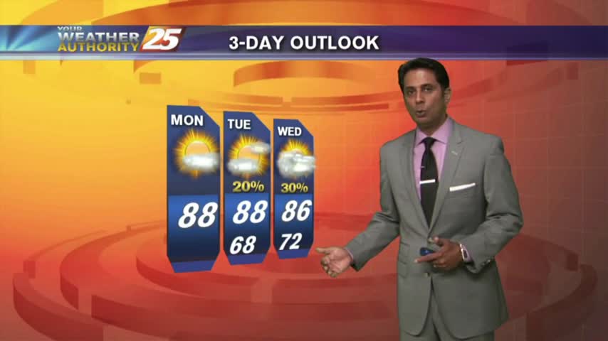
6/25 - Rob's Final Week of June Forecast
After a rain-free and HOT weekend, it's a warm and humid start to the workweek...

After a rain-free and HOT weekend, it's a warm and humid start to the workweek...
A warm/humid start with cloud coverage developing and moving in from the west...
Overnight showers/t-storms continue to move in from the GOM...along with areas of patchy fog...
A cool start to the day with very shallow ground fog, the fog will be much worse tonight...
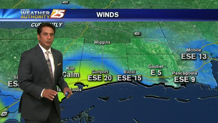
A warm/humid and windy start to the day with these conditions expected to continue...
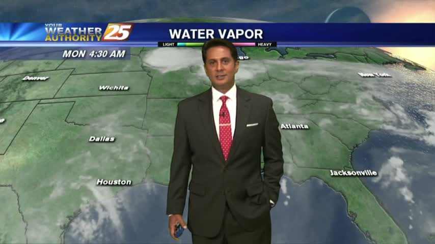
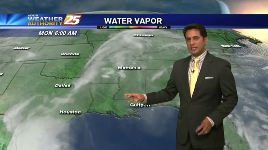
A VERY WARM and humid start to the workweek, with minimal fog through the viewing area...

Another cold start to the day under cloudy skies, with improved conditions for your Mardi Gras...
Another BITTER COLD start to the day with the wind chill making temperatures feel like single digits...
From yesterday morning with low temps in the low 30s...to the upper 40s this morning as a cold front is overhead moving SE...
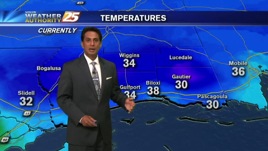
Bundle up heading outside this morning, its' another VERY COLD start to the day with several locations below freezing...
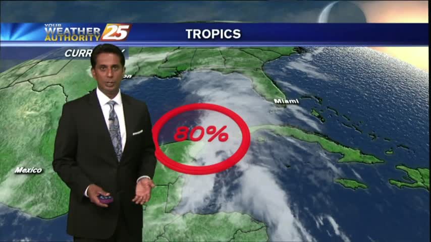
A lovely start to the workweek as IRMA moves towards north Florida. South Mississippi dealing with a DRY north wind which will become BREEZY through this evening...
With an approaching cold front to our NW...this morning is a bit more HUMID under a good bit of mid/upper level clouds...
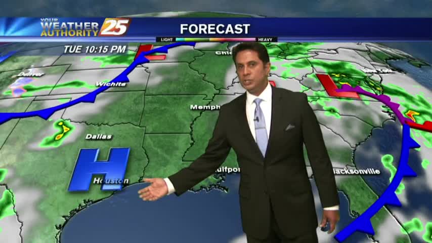
It's a warm and humid start to your "Hump Day", with isolated showers and t-storms moving into the area from the south...
Another morning with showers/t-storms over the sound/northern Gulf of Mexico moving into the Southern 6...
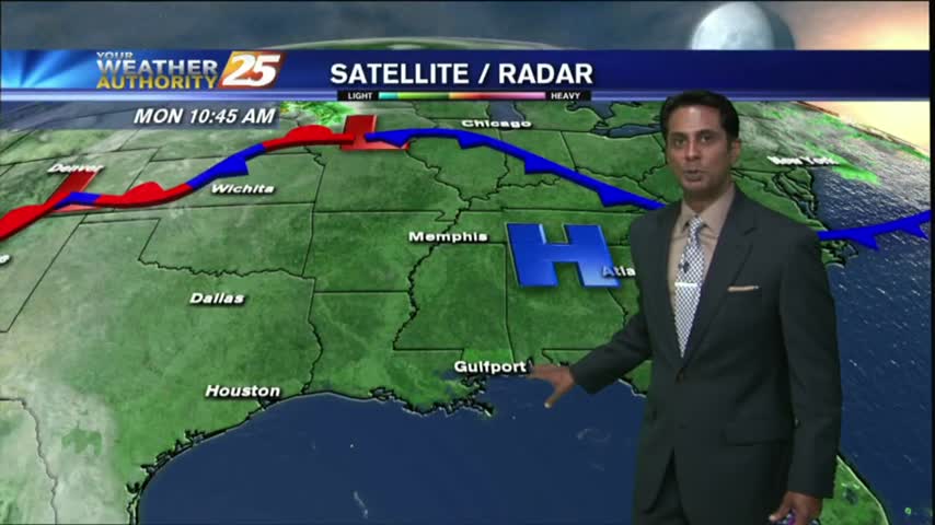
It's a much DRIER start to the day as a weak cold front moved through the area overnight...now stalled over the sound/N'tern Gulf of Mexico.
After a warm/humid start to the day under mostly clear skies, the clouds have moved back in with t-storms/rain on-tap this afternoon....

After a beautiful weekend with sunny skies and drier air, the tropical air mass is moving back into the region...
After a clear start with patchy fog, temperatures continue to warm with a few clouds developing...
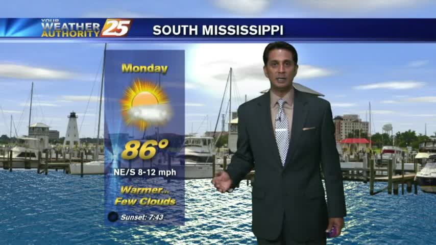
A warm/humid start to the workweek along with areas of PATCHY FOG along the Southern 6...
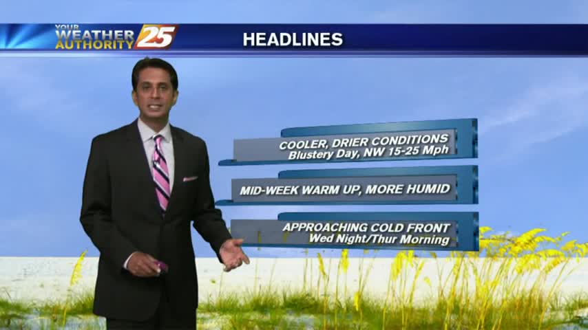
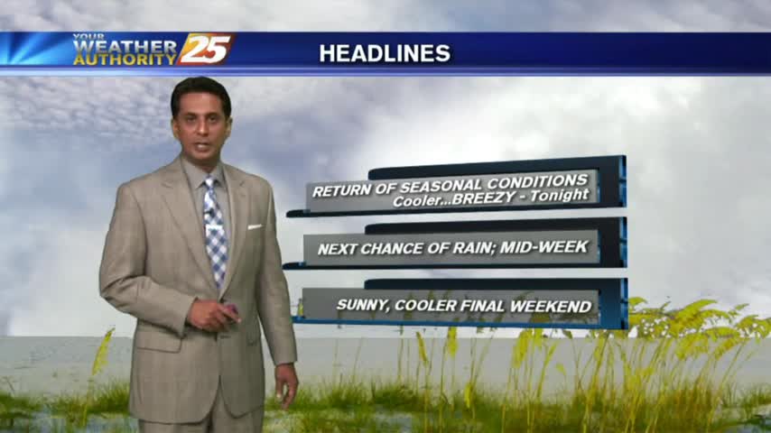
In the wake of yesterday's cold front, a cooler/drier air mass is moving into the area as BREEZY conditions continue...
With a SOUTHERLY wind flow, warming temps continue with elevating humidity moving in from the GOM...
After a mostly clear start with light fog this morning...clouds have increased along with WINDY conditions continuing...
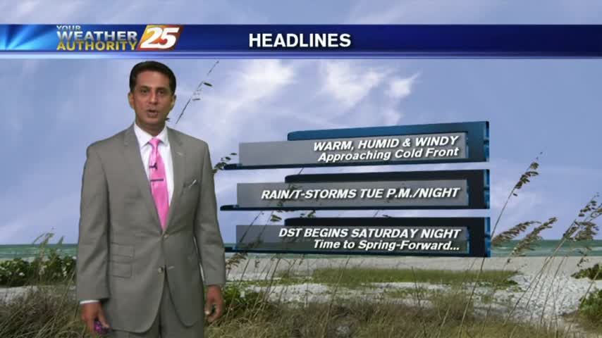
Warm/humid conditions continue to move into the area with a STRONG southerly wind in advance of an approaching cold front...
After violent weather through the weekend, it's a cooler/windy start heading into the workweek...