4/20 - Rob's "Beautiful" Friday Morning Forecast
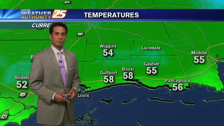
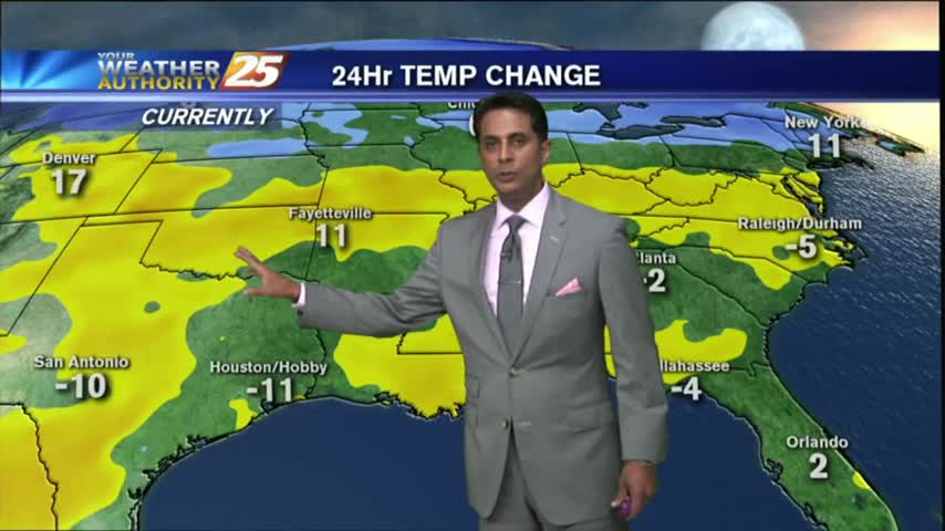
A cooler start to your Friday morning as high-pressure and drier air continues to move into the region...
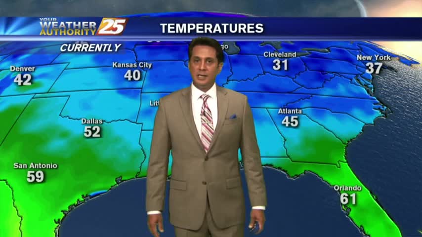
A cooler start to your Friday morning as high-pressure and drier air continues to move into the region...
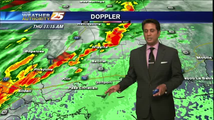
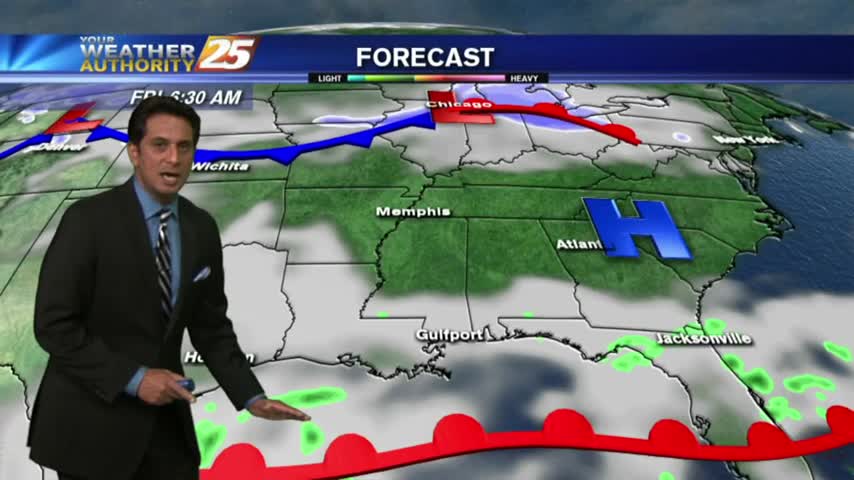
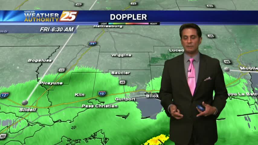
The activity with the cold front has fizzled out quite a bit but still moving across the area...
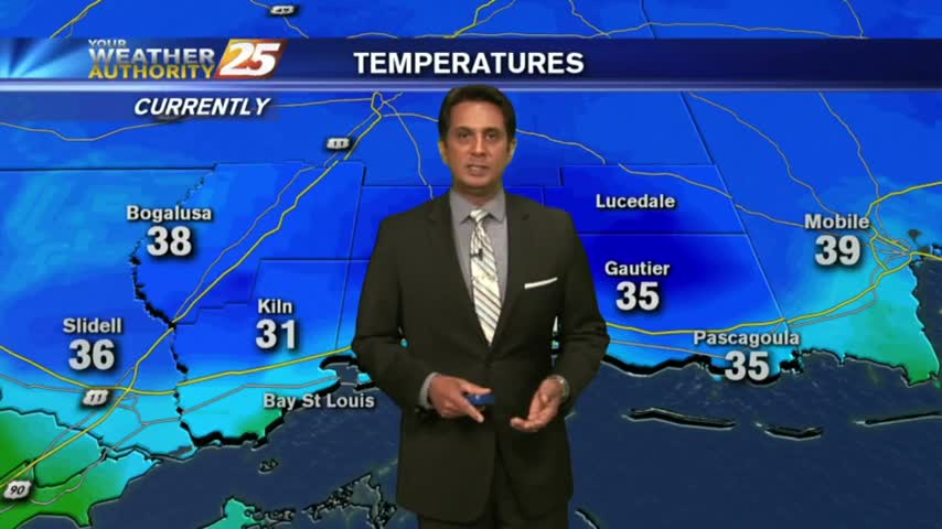
It's another COLD start heading into the weekend with inland areas under a FROST ADVISORY...

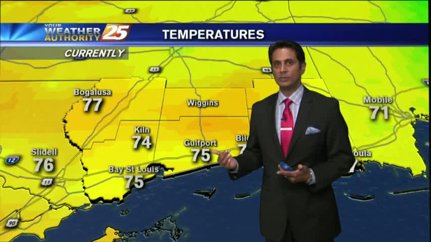
After a FOGGY morning, the fog has lifted into a low-level cloud deck as temps continue to warm into the mid-upper 70s...
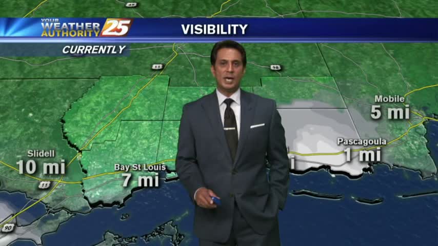
Another morning with areas of DENSE FOG...a DENSE FOG ADVISORY continue through 10 A.M...
A cloudy and warmer start to the day before the potential of HEAVY RAIN this weekend...
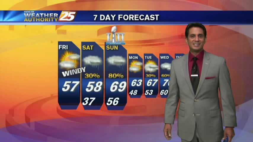
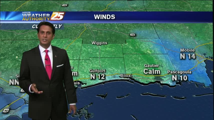
As the cold front has moved to the south of our area, cloud coverage will continue along with VERY WINDY conditions from the north...

After a MUCH WARMER start to the day earlier this morning, mild and humid conditions can be expected this afternoon with windy conditions...
Surface high-pressure has shifted to our east and the return flow has begun to increase temperatures and humidity...
Extensive cloud coverage continues but the clearing process will begin this afternoon with COLD and WINDY conditions...

After a FRIGID start to the final Friday of the year, temperatures continue to warm under mostly clear skies...
Warming temps continue to move into the region. A cold front is now to the south of the viewing area...with rainfall moving NE into south Mississippi..

After a very disruptive morning with WINTER WEATHER in the area, the activity continues...
Another HUMID start to the day with areas of PATCHY DENSE FOG. A pretty nice day is on-tap after fog burns off with warmer temps...
After a VERY COLD start to the day, temperatures have warmed but still on the chilly side under sunny skies...
After a mostly clear start to the day, clouds continue to increase in advance of an approaching cold front along with warm & humid conditions...
A warm and humid Friday afternoon heading into the weekend which could bring a SLIGHT THREAT for SEVERE Weather...
Mostly cloudy skies continue along the viewing area as an east wind is dominating the N'tern Gulf of Mexico...
After a rain-free start to the day under partly cloudy skies....the clouds and activity has moved back into the viewing area...
A tightening gradient brought WINDY conditions to the region yesterday, which continued overnight and into this morning...
This morning starred out with a few clouds and cool temps, with both increasing this afternoon...
Your Friday afternoon includes warming temps, mostly clear-partly cloudy skies and VERY isolated showers/t-storms...