11/23 Ryan's "Chilly For Now" Monday Evening Forecast
Cold front has brought some cooler and drier weather to start things off, but a few fronts will darken this week's skies.
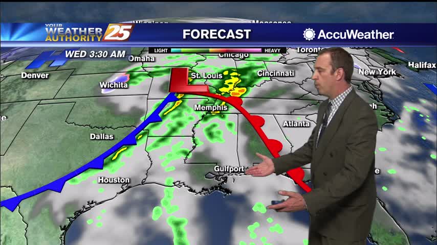
Cold front has brought some cooler and drier weather to start things off, but a few fronts will darken this week's skies.
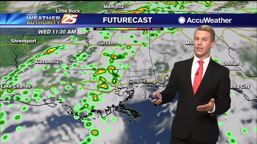
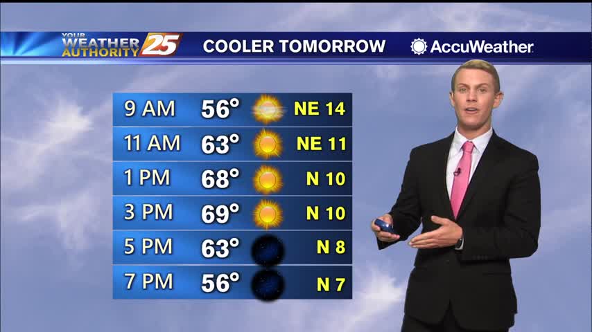
A brief, slight cool down is expected to continue throughout the rest of the day in the wake of the weak dry front with highs ranging from the lower 60s over the northwestern portions of the forecast area to the…
A brief, slight cool down is expected during the day on Monday in the wake of the weak dry front with highs ranging from the lower 60s over the northwestern portions of the forecast area to the lower 70s across…
With an extremely dry and sunny week behind us, we move into a more cloudy, warmer, and more humid week ahead as several fronts move in.
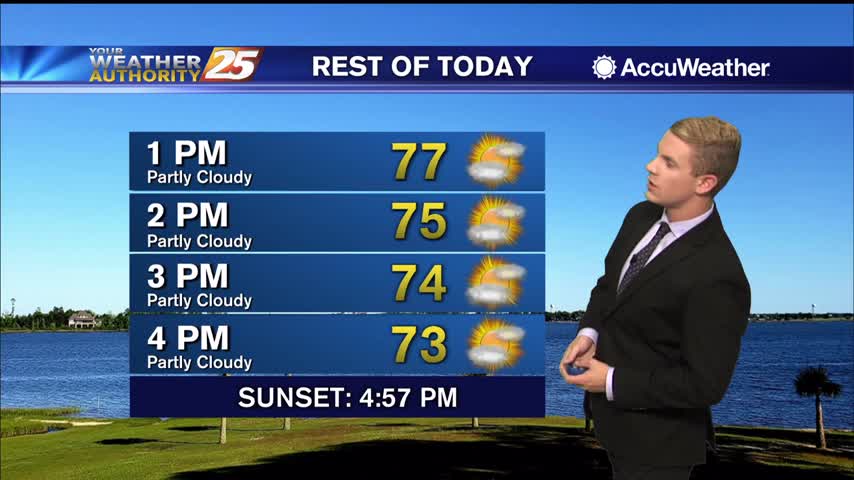
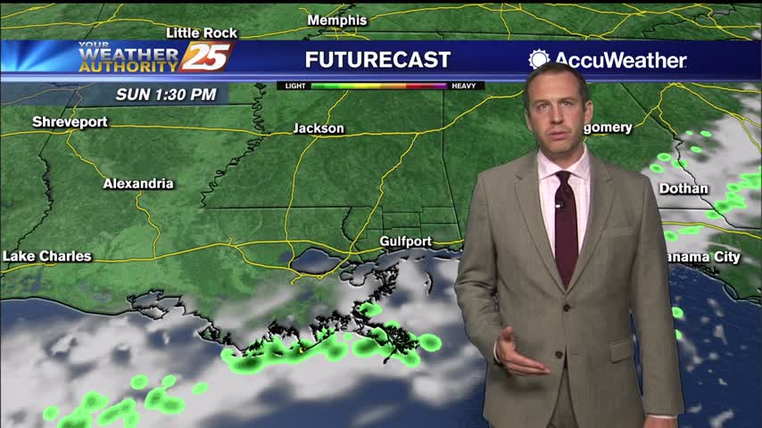
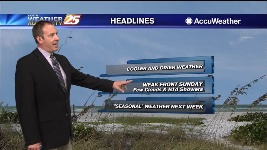
A lovely autumn weekend is ahead as high-pressure NE of the area will shape the forecast. A dry cold front will move through the area Sunday night then east of the area Monday, but moisture will begin to return fairly…
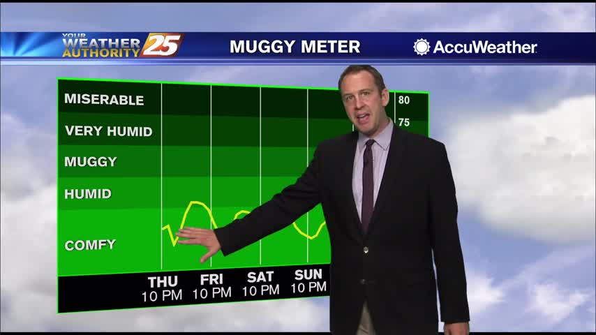
Finally starting to feel some of those changes moving in as warmer, more humid air begins to creep in....
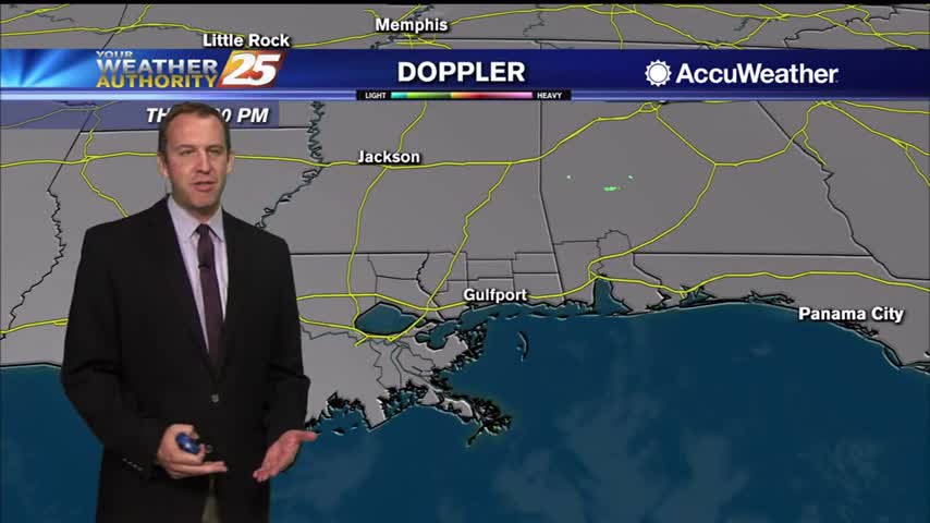
Still looking and feeling pretty nice today, but we're starting to notice things changing as warmer, more humid air moves in.
Nice and cold tonight again thanks to cooler and drier air, but warmer and more humid air is knocking on the door....
Things'll be slow to change this week, but they eventually will after several more calm, sunny days.
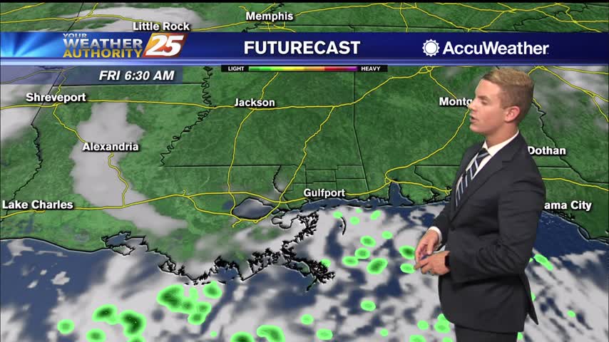
Lows the next couple of nights should easily reach the lower to mid 40s inland and the mid 50s closer to marine influences. Highs will be in seasonably mild ranges, generally upper 60s to lower 70s through thursday now that…
Just as cool as last night and even drier, but it won't last forever....warmer, more humid days lie ahead.
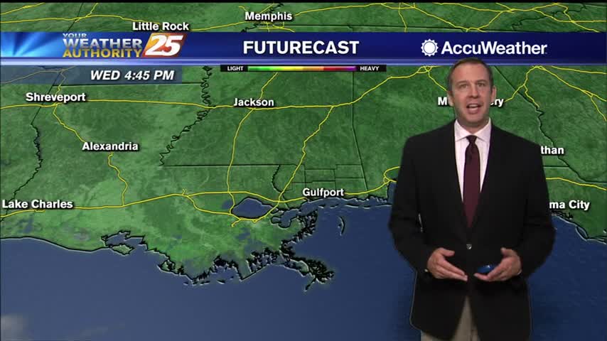
Much more fall like for the next 24 hours or so, but a warming trend is on the way...as is higher humidity.
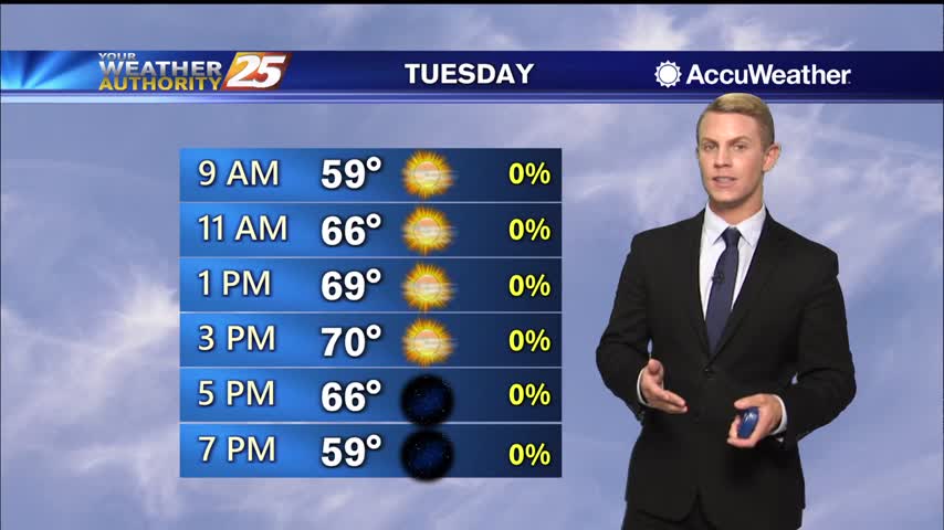
Lows the next couple of nights should easily reach the lower to mid 40s inland and the mid 50s closer to marine influences. Highs will be in seasonably mild ranges, generally upper 60s to lower 70s through Wednesday as a…
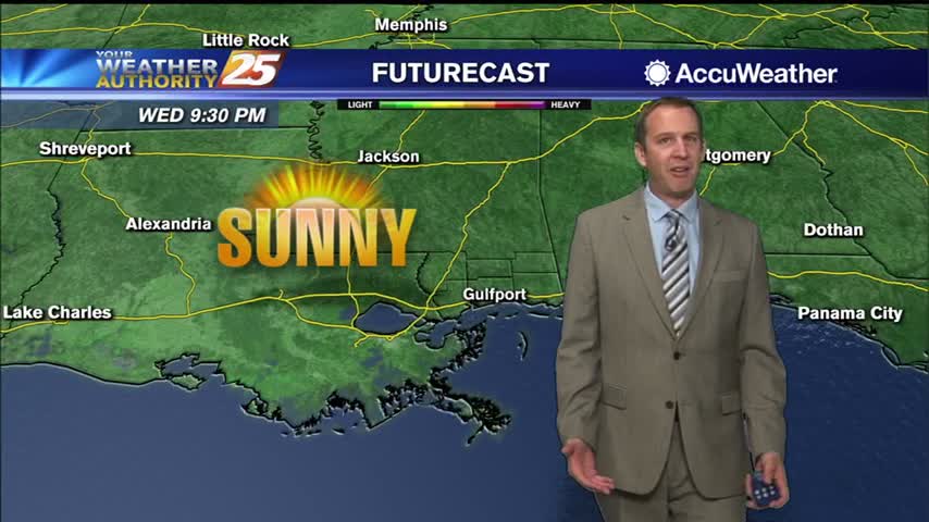
Last week looked beautiful, but was warmer and more humid than normal, which this week corrects!
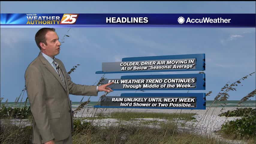
We're off to a nice start after a weak weekend front, and change will be slow to move in....
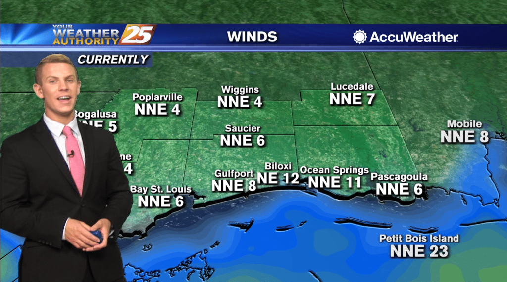
Highs will generally be in the upper 60s to the lower 70s through Wednesday as a re-enforcement of the Canadian dry air sweeps through Tuesday afternoon and evening. Lows the next couple of nights should easily reach the lower to…
A cold front continues to push through the region along and near coastal waters with very dry continental air moving into the area. Lows the next couple of nights should easily reach the lower to mid 40s inland and the…
Cold front moved through yesterday, but we'll have already begun warming again by tomorrow....
Cold front moved through yesterday, but it won't really be chilly until much later tonight....
The National Hurricane Center says Tropical Storm Eta made landfall near Cedar Key on the West Coast of Florida at 3:00 AM. Northerly to northwesterly surface wind flow continues across our local area early this morning well to the west…
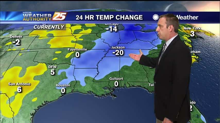
Not too different yet, but cooler and drier air is on the way in after today's cold front.
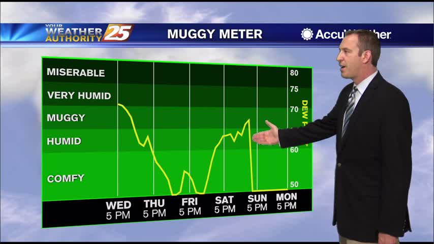
Downright swampy today with warmer temperatures and high humidity in place, but a cold front is bringing some changes....
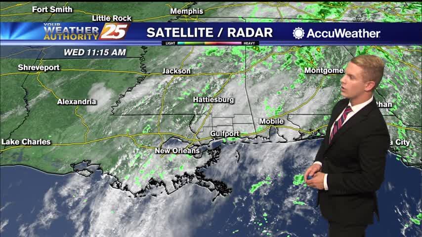
An approaching cold front will bring continued cloud coverage as well as a few morning showers then a few early afternoon t-storms. High temps should easily reach low 80s across the area with a few locations touching mid-80s. Not expecting…
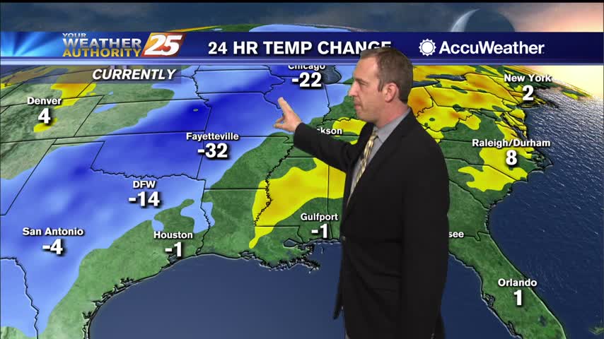
Even warmer and more humid today with a few showers, but some drier air is moving in soon...just won't be all that much cooler.