9/12 - The Chief's "Unsettled Weather Pattern Ahead" Tuesday Morning Forecast
An upper level trough of low pressure is currently ranging from Canada across the upper/mid-Mississippi Valley and will continue to rotate through the Ohio River…
An upper level trough of low pressure is currently ranging from Canada across the upper/mid-Mississippi Valley and will continue to rotate through the Ohio River…
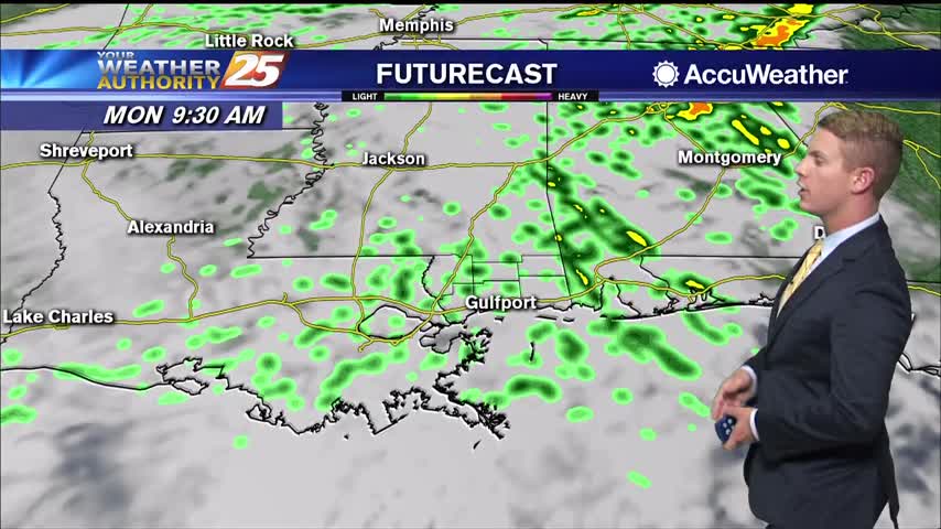
As we head into tonight and tomorrow, storm coverage should diminish and become more focused to coastal areas as the weak surface trough works its way southeast. For now, at least scattered to numerous showers and thunderstorms are anticipated, particularly…
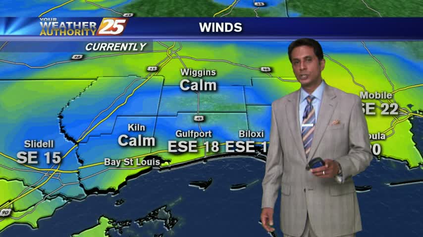
High pressure will persist through Tuesday, limiting the rain chances for tonight and tomorrow to around 30 to 40 percent. Southerly surface winds will be in place through Wednesday, allowing for more warm air and moisture to move into the…
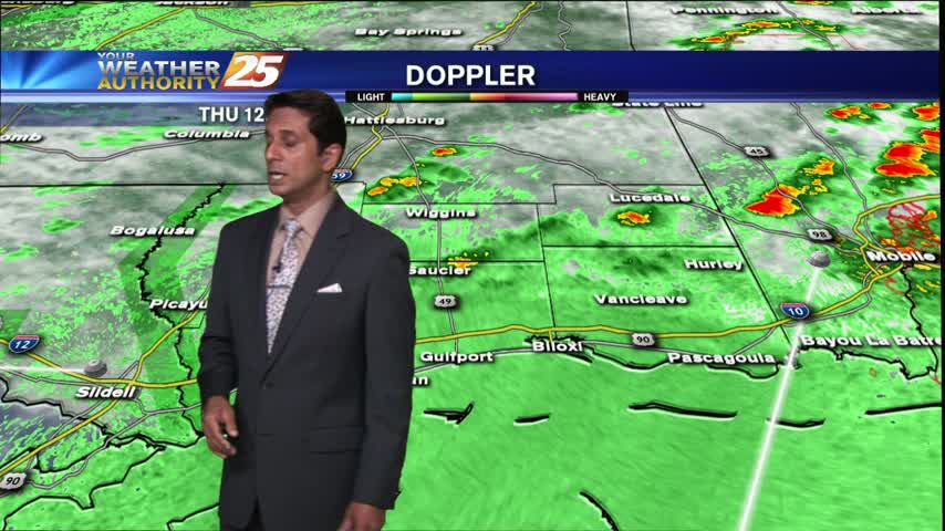
Isolated activity continues but with daytime heating...the activity will flare-up and become more widespread...
VERY WINDY conditions continue as a cold front approaches from the west.