10/12 - Payton's Thursday Evening Forecast
The cold front has finally moved through bringing drier weather, but it's not going to stick around long.
The cold front has finally moved through bringing drier weather, but it's not going to stick around long.
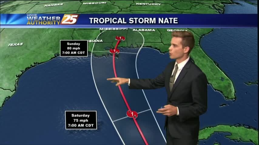
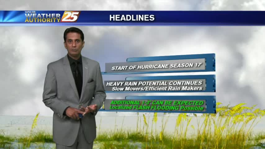
Tropical Storm Nate could impact South Mississippi this weekend. Check back regularly for updates.
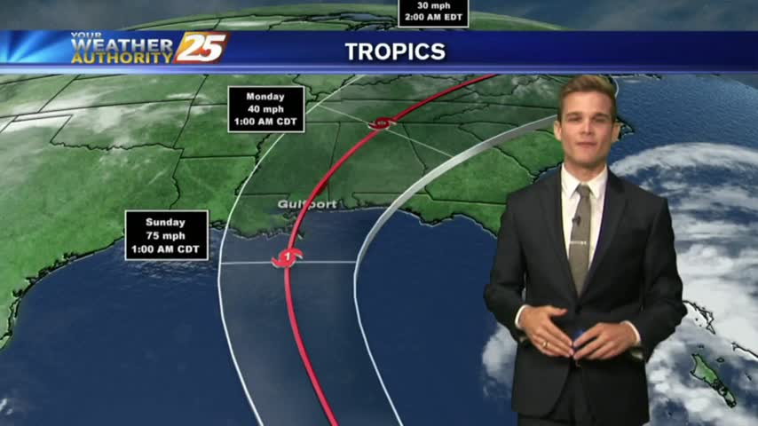
Forecasts continue to trend west with the track of the storm, which means the storm could have a bigger impact on South Mississippi.
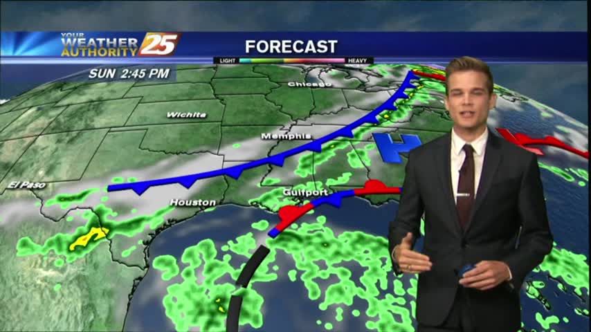
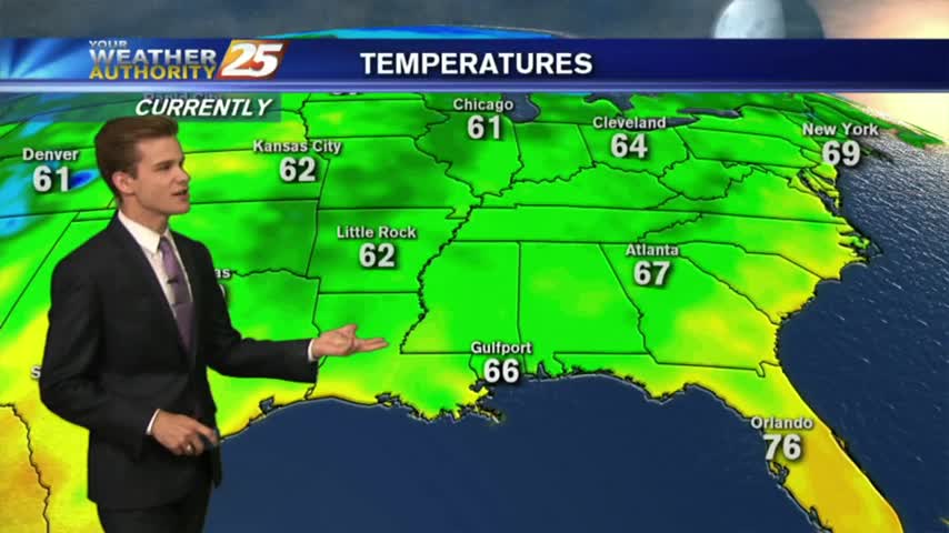
Temperatures this afternoon are in the mid 80s and we continue to see southerly winds increase moisture in the area, but ran will hold off until tomorrow.
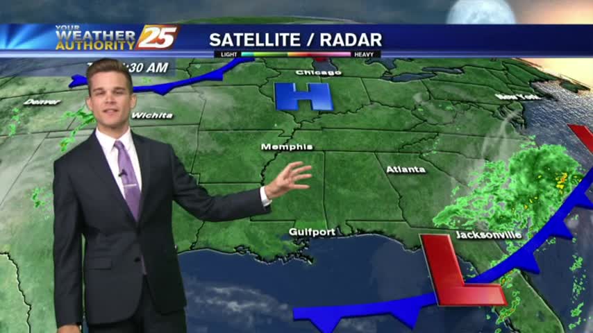
One final day of nice weather across South Mississippi before the rain returns.
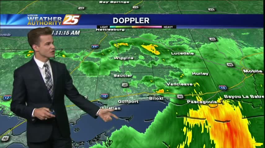
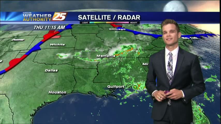
Most of the activity is staying to our south today as it fights drier air as it moves north, but scattered showers are possible for the remainder of the day.

Another typical July day in South Mississippi with afternoon showers and thunderstorms.
A very active day across South Mississippi as an area of low pressure sits overhead.
A very active day across South Mississippi as an area of low pressure sits overhead.

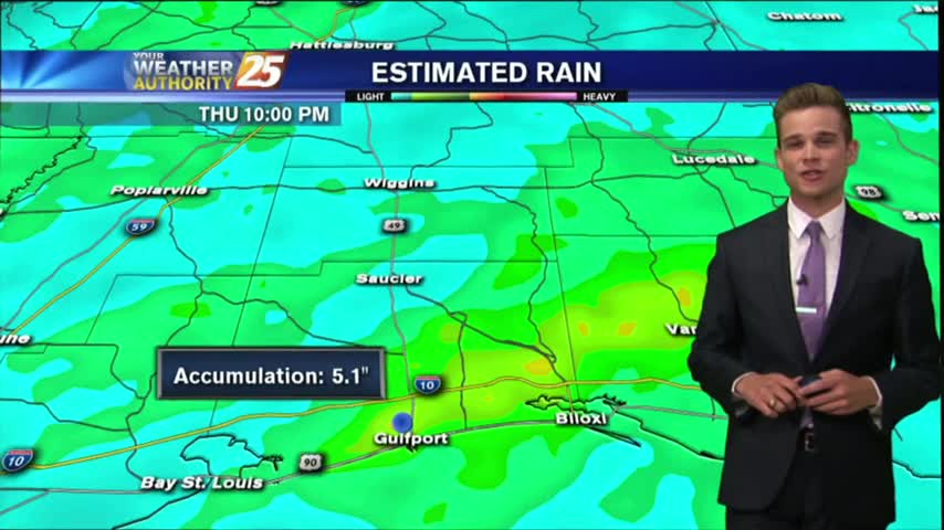
A gray/gloomy start to the day as an area of low-pressure west of Lake Pontchartrain is bringing HEAVY RAIN into the area...
The tropical airmass that has been sitting over the area for the past week remains in place today through tomorrow, which will continue the rain chances for the afternoon hours.
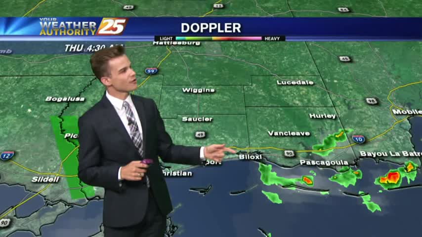
The tropical airmass that has been sitting over the area for the past week remains in place today through tomorrow, which will continue the rain chances for the morning and afternoon hours.
After 34 days with either clouds and/or rain in the area, high-pressure to the north will bring beautiful changes to the pattern.
Another day of showers and storms for South Mississippi as the tropical airmass stays in place.