7/15 - Rob Martin's "Lower Weekend Rain Chances" Friday Evening Forecast
The downpours started earlier today, with much of it coming through Jackson County before weakening. We’ll have just spotty activity into early evening before quiet…
The downpours started earlier today, with much of it coming through Jackson County before weakening. We’ll have just spotty activity into early evening before quiet…

Harrison County was the main recipient of heavy rain in the wee hours and past sunset this morning, with a wide swath of around…
Most of the activity actually occurred this morning as nocturnal storms formed in the gulf before skirting the coastline. Leftover cloud cover kept temps down a bit…
Cloud cover saved the day to a certain extent this Friday. It kept afternoon temperatures down, and with less daytime heating a factor, our severe…
The downpours from earlier today have dissipated and we’re not expecting anything more through this Wednesday night. June has arrived and the weather is right…
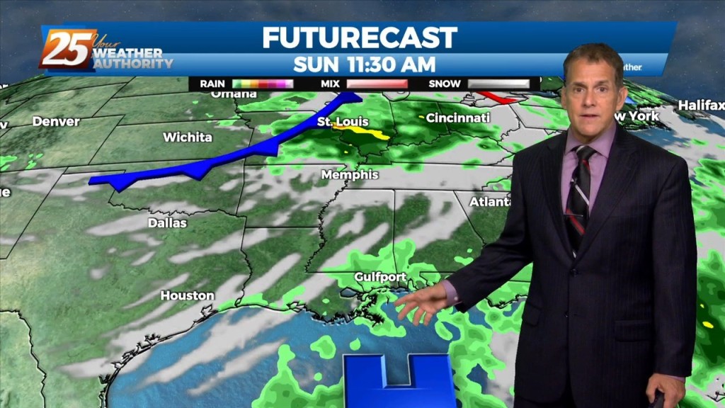
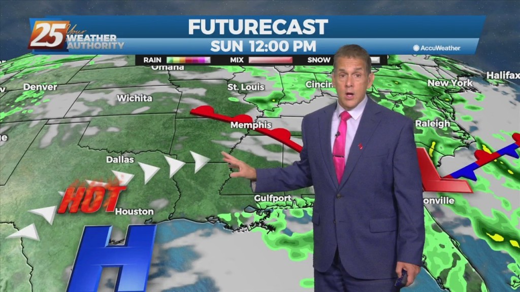
Flow around an upper-level low over the southeast will continue, bringing another round heavier showers and embedded thunderstorms Saturday. We can’t rule out an isolated severe…
Low-level convergence of wind fields continues over the area, which in addition to daytime heating, will allow heavier showers and embedded thunderstorms both today and Saturday. Like…
Finally some rain arrived today, with most of it ending up in George County where there was briefly a severe t-storm warning. Our high pressure area responsible for…
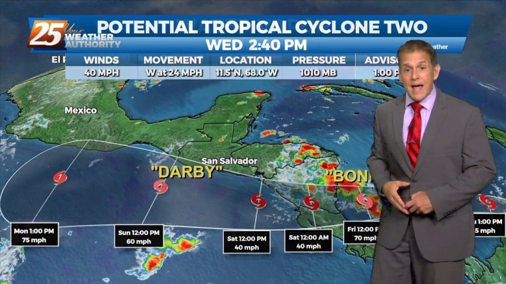
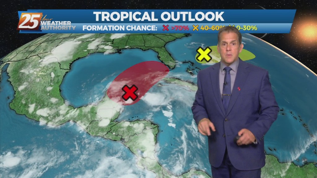
Heat peaks today with numbers not too far behind expected Thursday. We drop into the upper 60s tonight with a not-too-humid feel to the air. An upper-level low currently in the western Atlantic will move eastward into the east coast…
A northwest to west flow has developed in the wake of this morning’s thunderstorms, setting up a very pleasant, cooler and drier Friday night. The…
The warmest temperatures of the season are on the horizon, but first we have to deal with a few thunderstorms. Some showers will develop late…
Not much change is expected through Thursday, with afternoon highs in the mid 80s and a bit more of a sea breeze. However, a couple of…