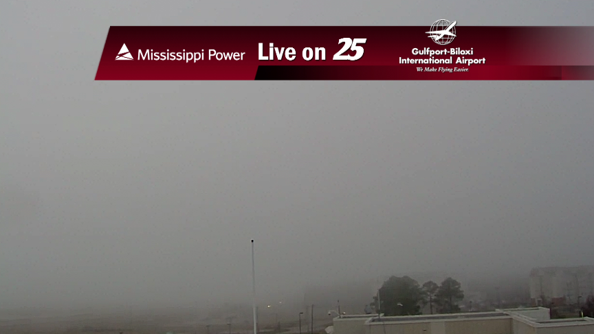
02/07 - Steve's Foggy Tuesday Night Forecast
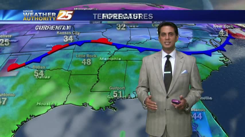
Areas of Dense Fog will develop tonight along the Coast, and not just south of Interstate 10.
Areas of Dense Fog will develop tonight along the Coast, and not just south of Interstate 10.
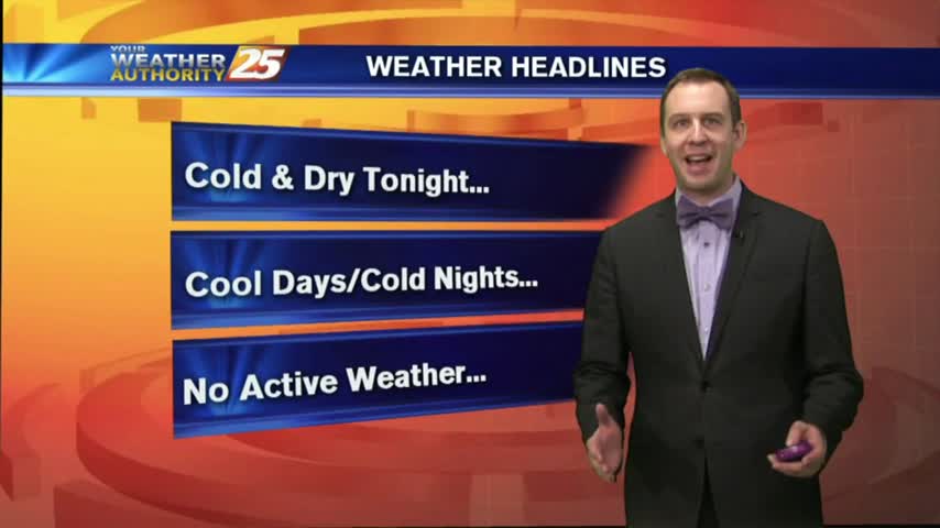
After quite a nasty afternoon, weatherwise, things have calmed down and we expect clearing conditions by tomorrow.
We had some cool weather over the weekend, but moisture and cloud cover continues to increase, bringing warm and humid conditions. Watch the forecast for details.
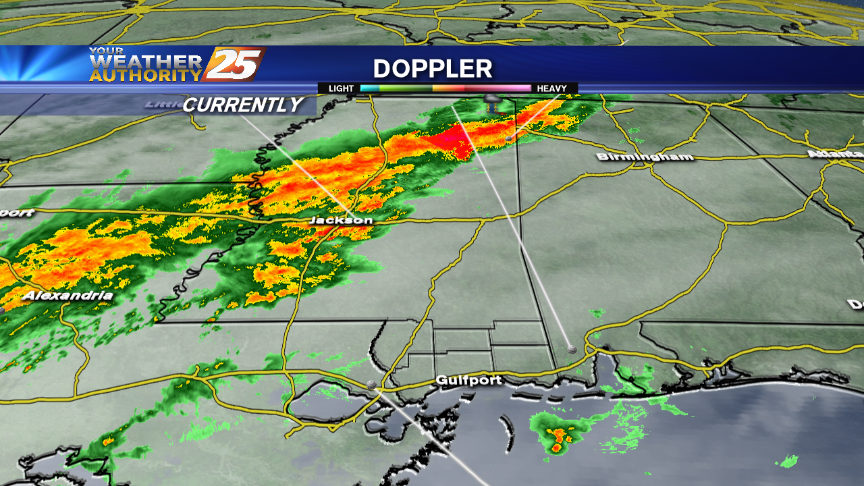
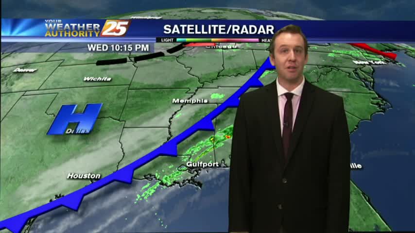
Rain and a few thunderstorms will be possible for the Mississippi Gulf Coast Tuesday.
While central Mississippi received some rainfall today, we weren't as fortunate here in southern Miss.
The afternoon cleared up nicely from our foggy and cloudy start, which will continue into tomorrow. Watch the clip for full, forecast details.
Fog and clouds started the day off cool and cloudy, but skies began to clear in the afternoon. Check out the forecast for your weekend details.
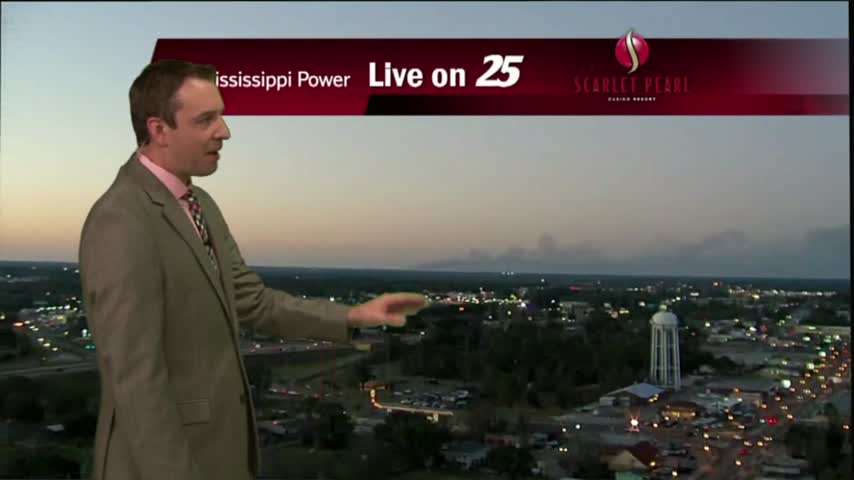
As a very weak cold front moves over the sound, this morning bring areas of patchy fog and light rain...
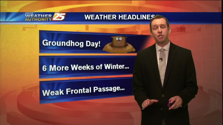
Happy Groundhog Day Gulf Coast! The little guy saw his shadow, so 6 more weeks of winter, but our "spring-like" conditions will continue. Details inside.
Few more clouds today, but we'll continue to see them increase through the evening. Details inside.

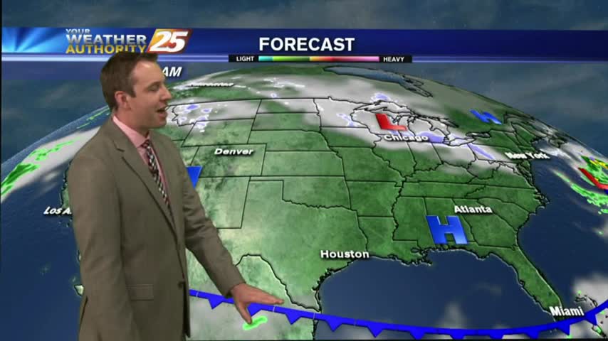
Rain showers will be possible tonight and Friday as a weak front affects the Southeast.
After another textbook South Mississippi day, we're in for an increase in clouds as we head through the evening. Does it mean rain? Watch the forecast for details.
After another gorgeous day, it looks like clouds are beginning to move in, but rain will largely stay away. Watch the forecast for details.
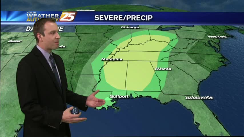
Rain showers make a return to southern Mississippi on several days in the upcoming week.
As the warm/humid air from the GOM continues to move in...high pressure is suppressing the atmosphere with patchy morning fog...
Fair weather is the rule for South Mississippi this afternoon and for the next couple of days.
Expect a warmer and clear night after today's nearly perfect afternoon, but these great conditions won't last forever. Check out the forecast for details.
Boring weather is good weather, and you can expect it to be boring for a few more days. We'll see some changes as we head into the weekend though, watch forecast for details.
Excellent weather is ongoing for south Mississippi. This forecast also warms us up some more.
Crisp and clear conditions are in store for the Mississippi Gulf Coast tonight. There's a warming trend to start the week, too.
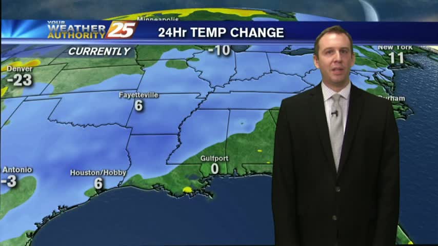
Much colder tonight, but still above freezing in South MS. Some light frost possible in some of the more inland areas tonight and tomorrow night though. Details inside.
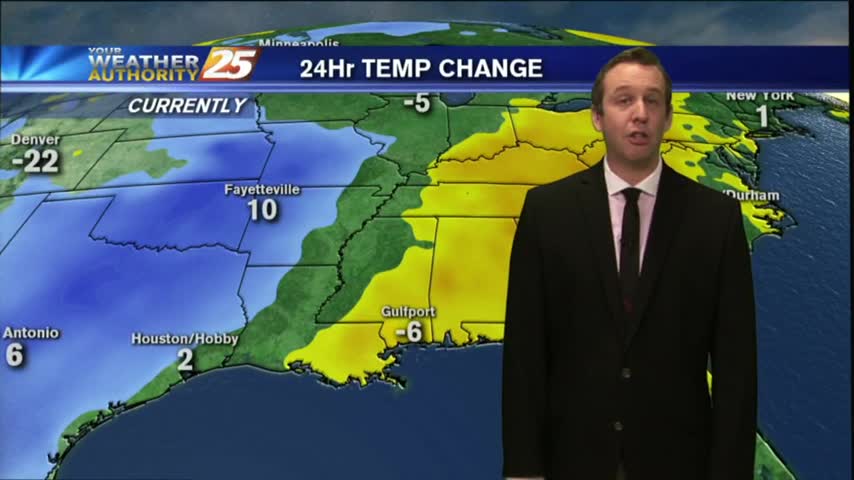
Rain has ended across most of the Southern States and more seasonable weather lies in its wake.
A cold front is slowly marching through the area, expect a few showers over the next few hours, but clear, cool, and dry weather afterwards. Full forecast details inside.
A few showers and storms will be moving through the area between now and midnight, bringing dry & sunny weather to the Gulf Coast. Watch for details.