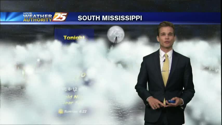
04/02 Ryan's "Foggy" Monday Night Forecast
It was still a nice day in South MS today, but more humid and hotter than it was over our beautiful Easter weekend. Rin moves in soon though....

It was still a nice day in South MS today, but more humid and hotter than it was over our beautiful Easter weekend. Rin moves in soon though....

Warm and humid today, but the best rain chances hold off for a few more days.
Happy Easter! Another beautiful weekend, but the post frontal weather is slowly coming to an end..moisture is returning and rain chances are in the forecast.

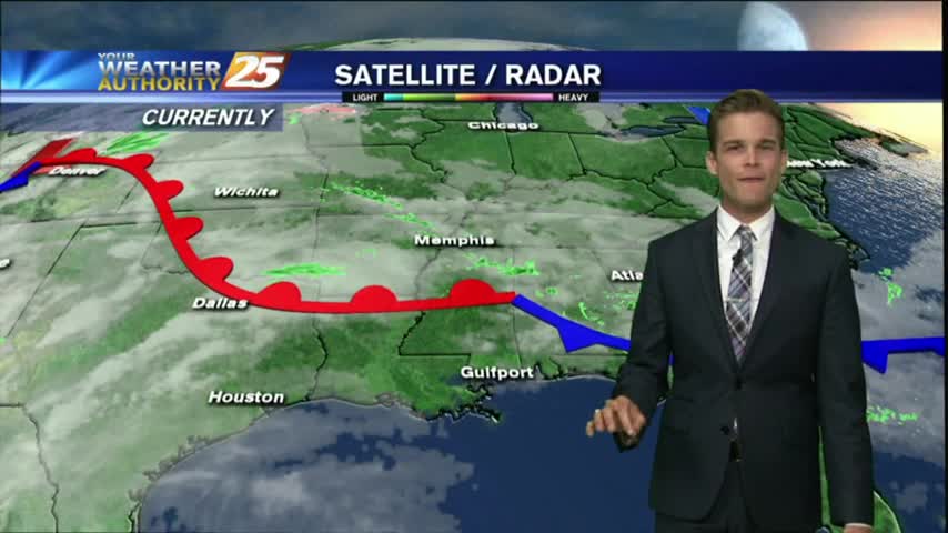
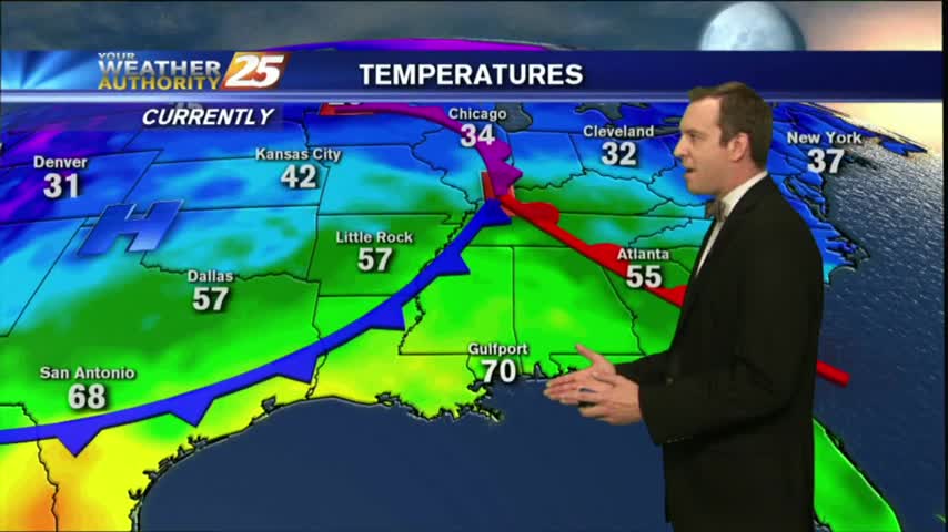
A warm/humid and windy start to the day with a POTENTIALLY SEVERE cold front approaching from the west...
It's still fairly calm now, but a severe weather threat is moving in for tomorrow afternoon....
It remained cloudy and warmed a few degrees as we expected, and the potential for severe weather is still on for tomorrow....
Another warm, humid and breezy start to the day with a cold front approaching from the west...
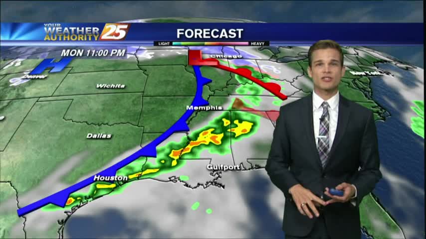
What a beautiful day on the coast! Unfortunately it all comes to an end to start your workweek.

The cold front will move through soon bringing strong northwest winds.

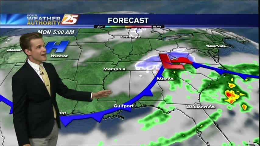
Severe weather will stay off to the north, and we'll stay warm and muggy in South Mississippi this evening. That changes tonight as a cold front moves through.

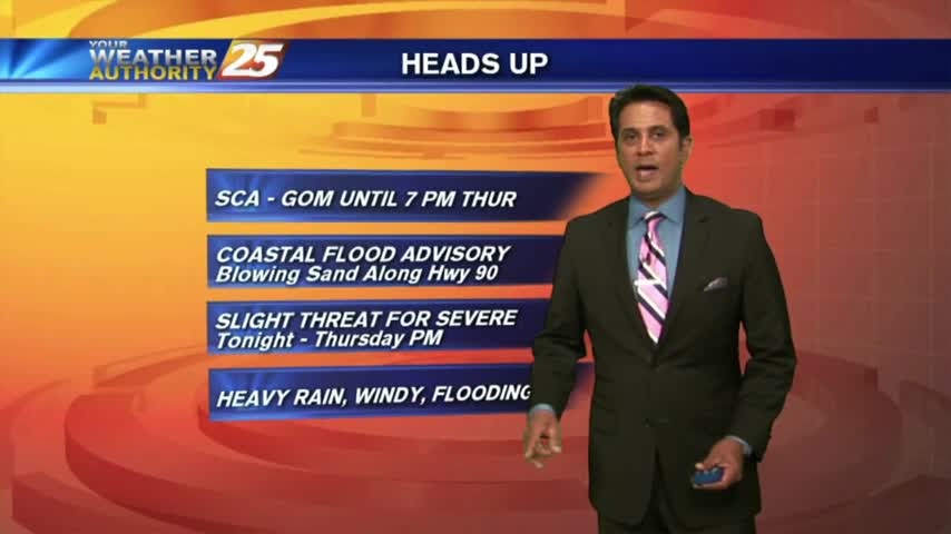
South Mississippi is now under a SLIGHT RISK for severe weather through the overnight hours.
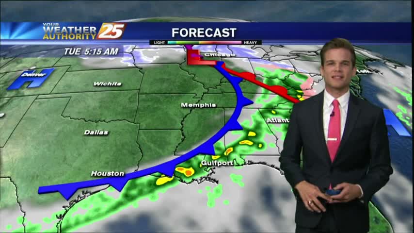
Heavy showers and thunderstorms from this morning have moved out of the area, and a front will bring breezy conditions to start the workweek.
Clouds are finally building overhead after a long string of clear days, and we'll see rain as early as tomorrow afternoon....
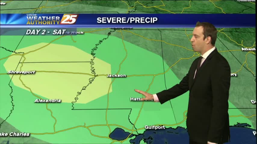
One last sunny and dry day before a rainy, potentially stormy weekend, but another beautiful work week is ahead....
It's another COLD start heading into the weekend with inland areas under a FROST ADVISORY...
There's still a little cloud cover near the coastline, but by tomorrow we'll see cloudless skies which will linger for a few days.
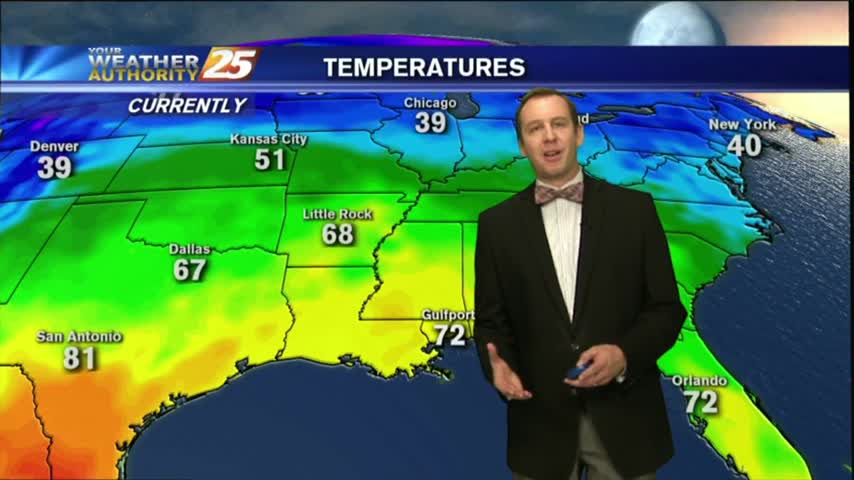
As the front moved through this morning it brought rain, but is now bringing much cooler and drier air.
The cold front has moved through and now sunshine will take it's place!
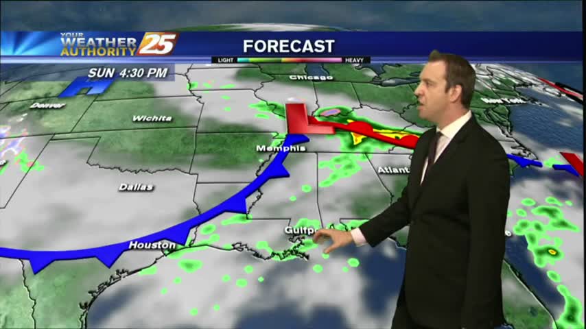
The humidity has been increasing seadily throughout the day as a cold front moves in from the Northwest, and showers and thunderstorms are expected overnight. Watch the full forecast for the details.
We're seeing clouds move in today after our amazingly dry weekend, with rain and thunderstorms moving in quickly. Watch the full forecast for details.
Clouds continue to move in, and rain chances will be on the increase as well.
The beautiful weather this weekend is coming to an end as we start the workweek.
Weekend weather is shaping up to be picture perfect!
One front down, one weaker, upper level front to go. Expect clearing skies into tomorrow and a beautiful, sunny weekend. Click the link for details.