2/5 - The Chief's "Cool & Cloudy" Monday Morning Forecast
The system to the SE that brought thunder/hail to parts of the area yesterday evening will continue to meander south and east today. On the backside…
The system to the SE that brought thunder/hail to parts of the area yesterday evening will continue to meander south and east today. On the backside…
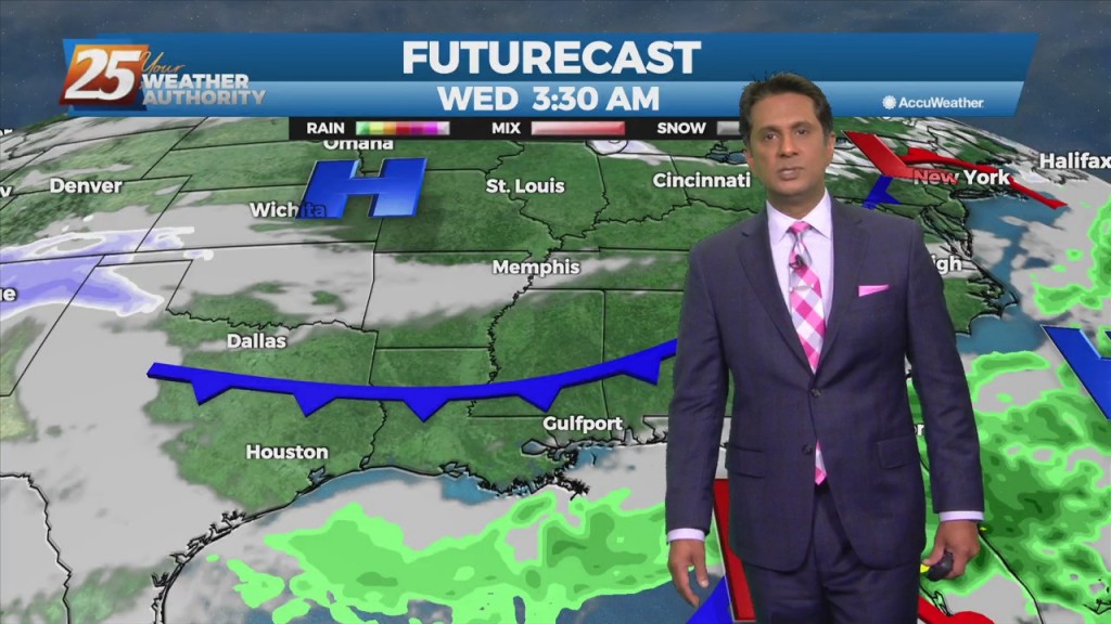
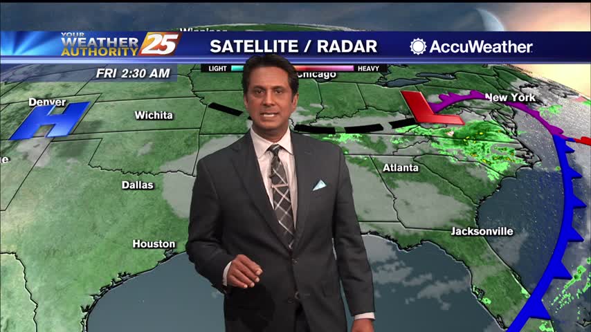
A surface low will develop rather rapidly by a strong divergent flow aloft which is also indicative of heavy rain potential ahead. The disturbance that…

An upper high pressure builds east rapidly, it will flatten an upper trough east of the Rockies and cause it to orient more west to east over…
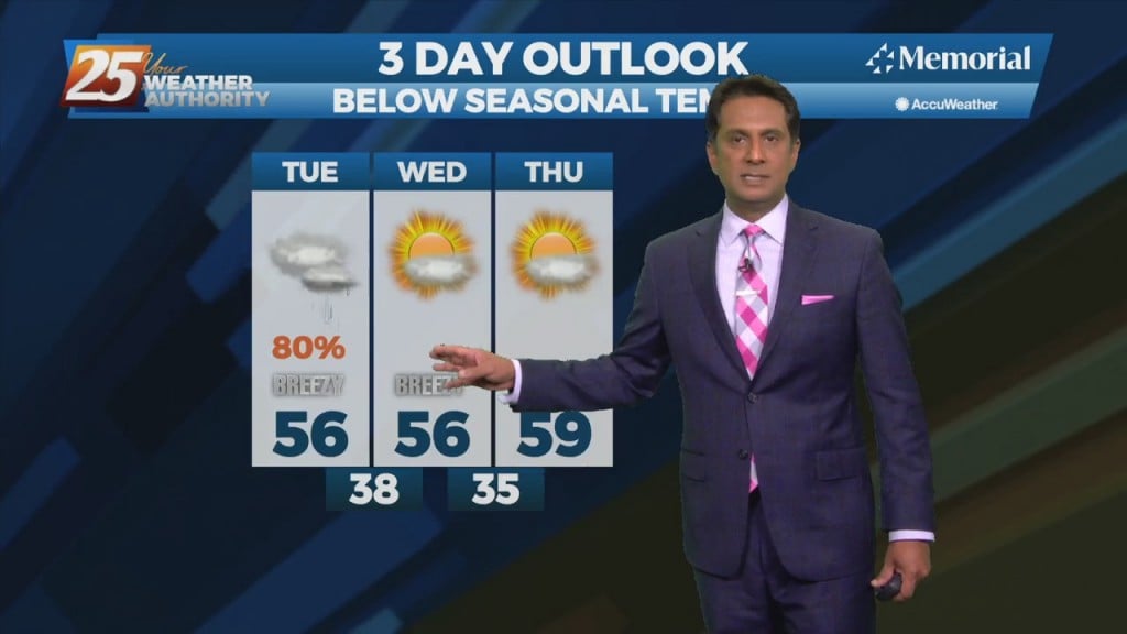
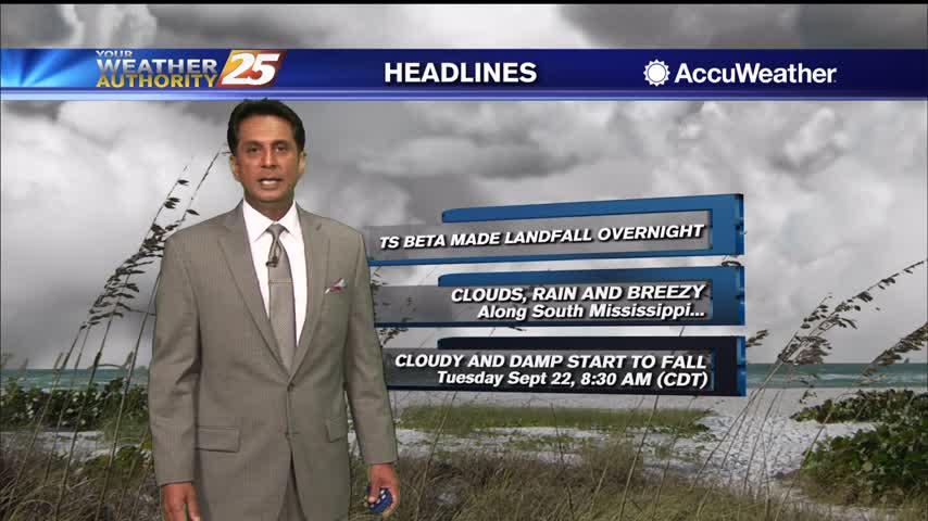
An area of low-pressure to the south along with a cold front north will continue to bring rain to the area. May not see a lot of…
An area of low-pressure to the south along with a cold front north will continue to bring rain to the area. May not see a lot of movement…
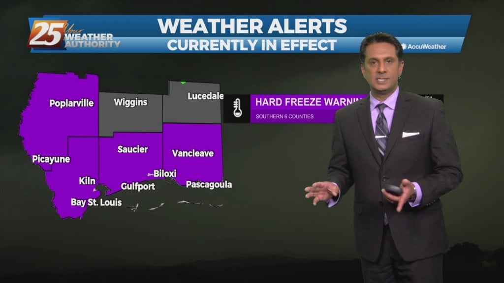
A HARD FREEZE WARNING in effect TONIGHT and SATURDAY NIGHT A deep layer northwest flow pattern will persist through Sunday, this will allow for continued cold…
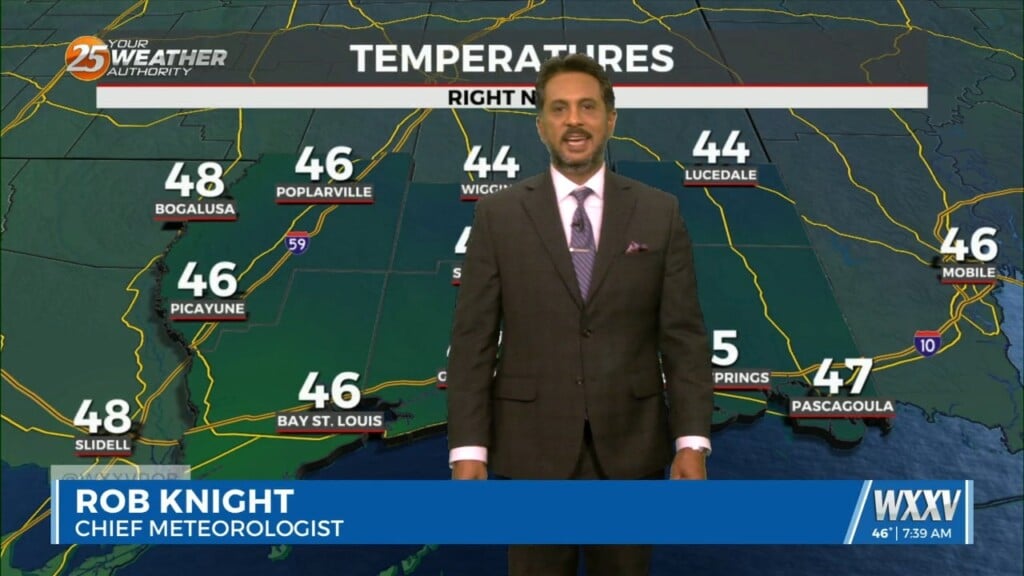
A cool start to the day as low-level clouds continue to move through the area...
Another cool start to the day with extensive cloud coverage and pockets of light rain...
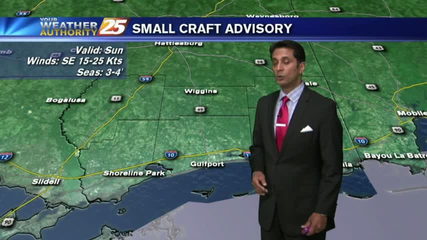
A tightening gradient brought WINDY conditions to the region yesterday, which continued overnight and into this morning...