12/24 Ryan's "Christmas Eve" Monday Night Forecast
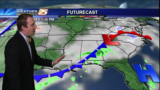
Merry Christmas Eve Gulf Coast! Santa is almost here, and Christmas Day is looking dry!
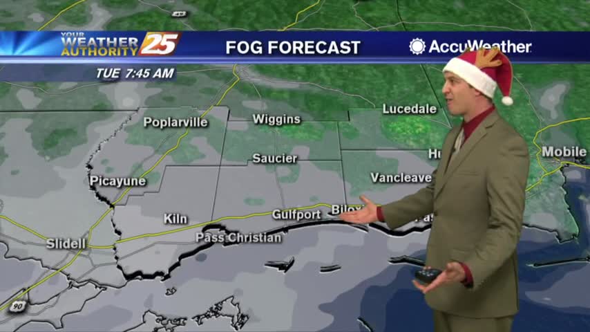
Merry Christmas Eve Gulf Coast! Santa is almost here, and Christmas Day is looking dry!

Developing trade ties with Cuba it's something state leaders are working toward. The Mississippi Development Authority will meet with thouse who work in Cuba's major sectors and industries at the end of October in Jackson, They're set to discuss the…
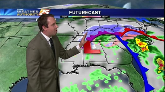
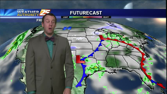
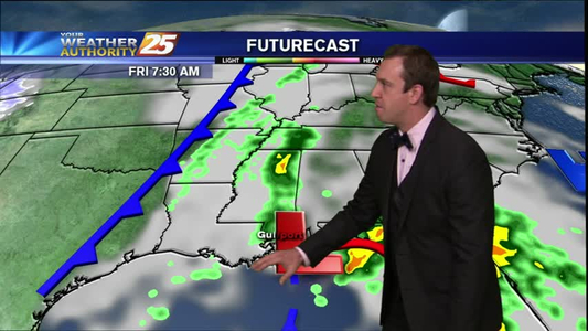
A cold front is slowly approaching South Mississippi from the West and will begin impacting our weather as early as tomorrow (Tuesday) morning. There is a marginal chance of these storms becoming severe, but we'll more likely see steady showers…
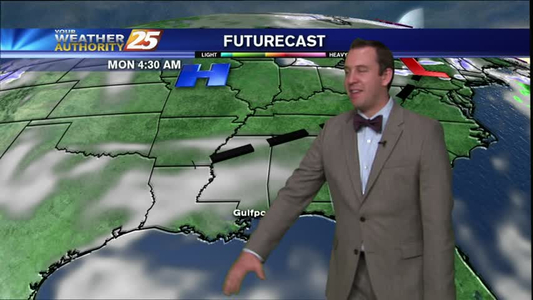
Your Weather Authority forecast for the week after 01/15/16.
Weather forecast for the week after 01/05/16.
Your Weather Authority forecast for the week after 01/20/16.
We certainly had quite an active afternoon here in South Mississippi. Severe storms ripped through much of the Southeast with most of the damage centered in Southern Louisiana and near Hattiesburg. Strong sustained winds battered much of the coastline, gusting…
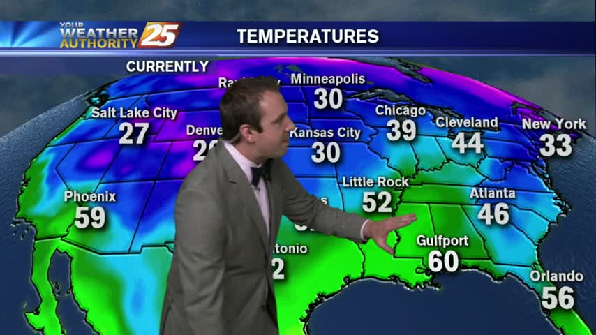
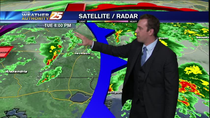
Last night's storms have continued to push eastward, and is now becoming less of a thunderstorm threat and more of a winter storm threat. Areas from Tennessee to Pennsylvania are experiencing blizzard and winter storm conditions. Locally, have brisk winds and and cold temperatures are continuing to fill the area vacated by the storms. The entire coast will be below freezing levels, and with the average wind staying near 20 mph, we'll see "wind chill" indices in the mid to low 20s for several hours. Skies will be clear throughout tomorrow for the Ocean Springs and Biloxi parades, but the high will max out near 48 with breezy conditions, so wear a coat. Saturday night will be one of the coldest nights we've seen this winter, air temp near 27
Your Weather Authority forecast for the week after 01/18/16.
Your Weather Authority forecast for the week after 01/14/16.
Your Weather Authority Forecast for the week after 01/13/16.
Weather forecast for the week after 01/04/16.