7-Day Forecast

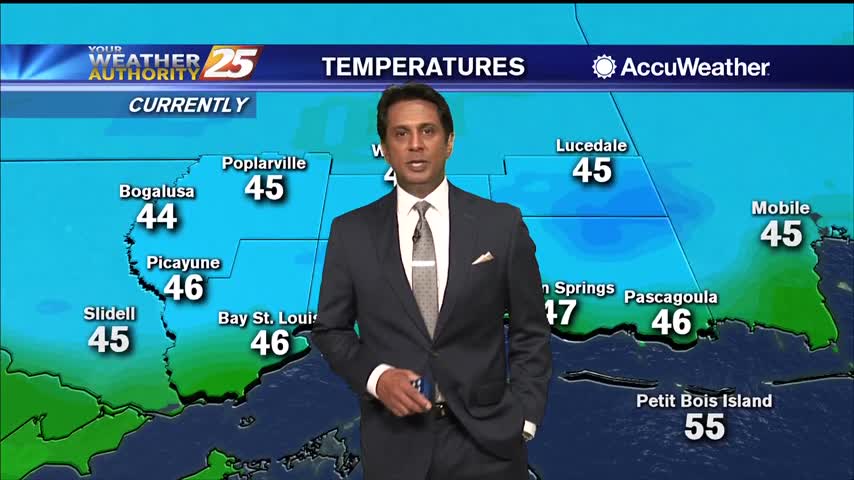
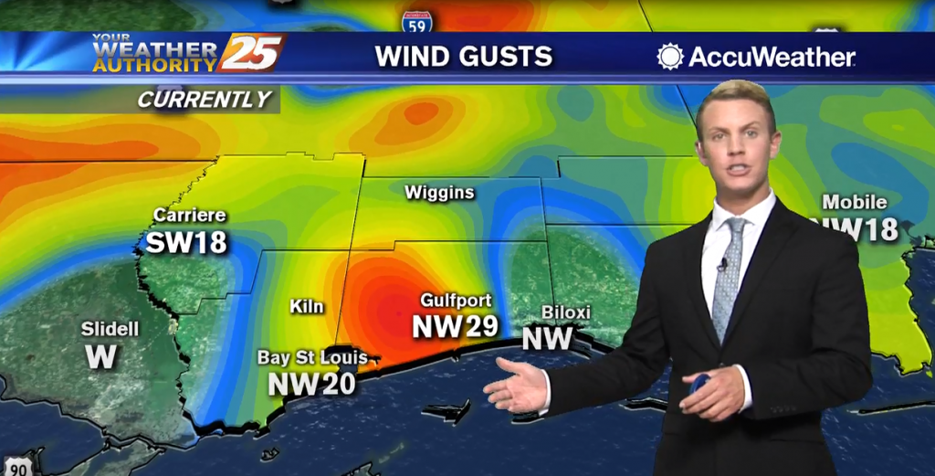
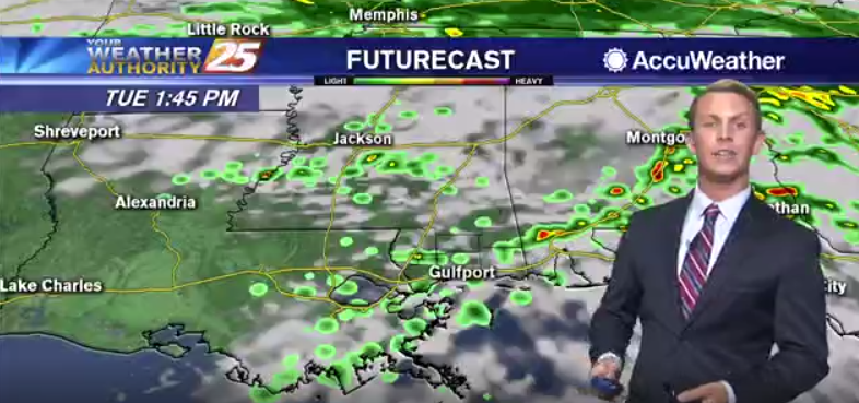
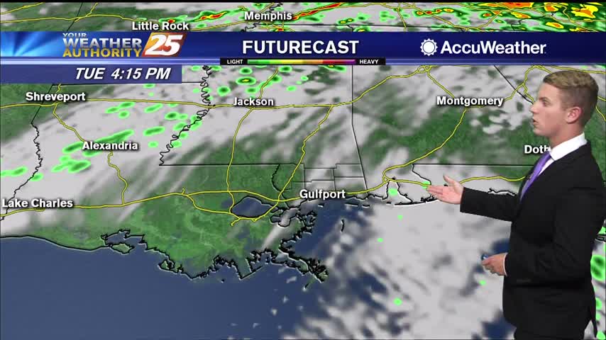
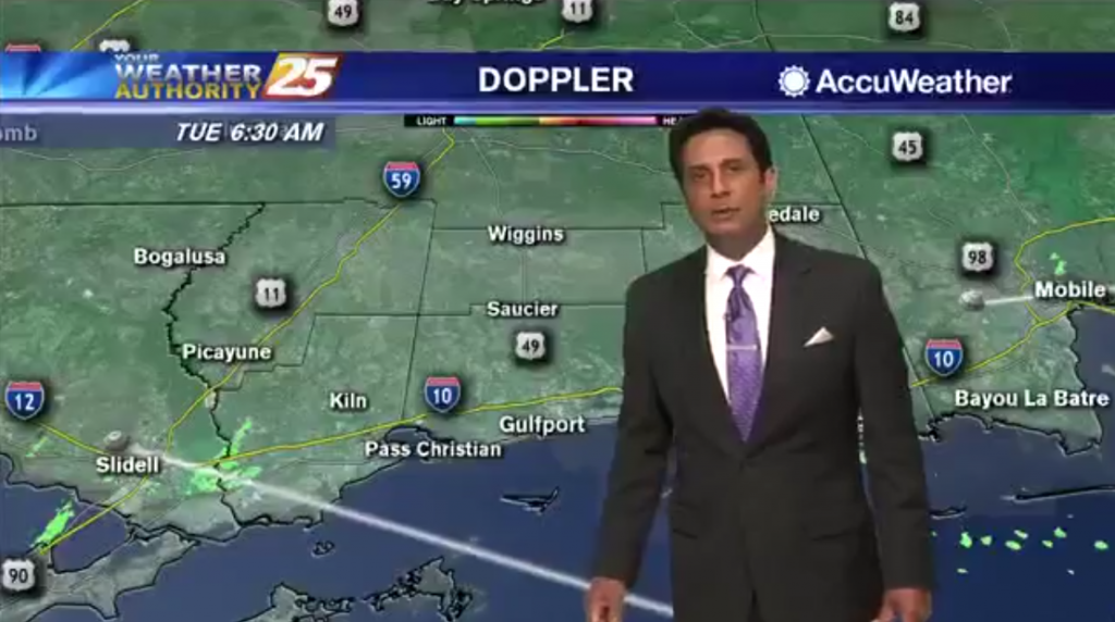
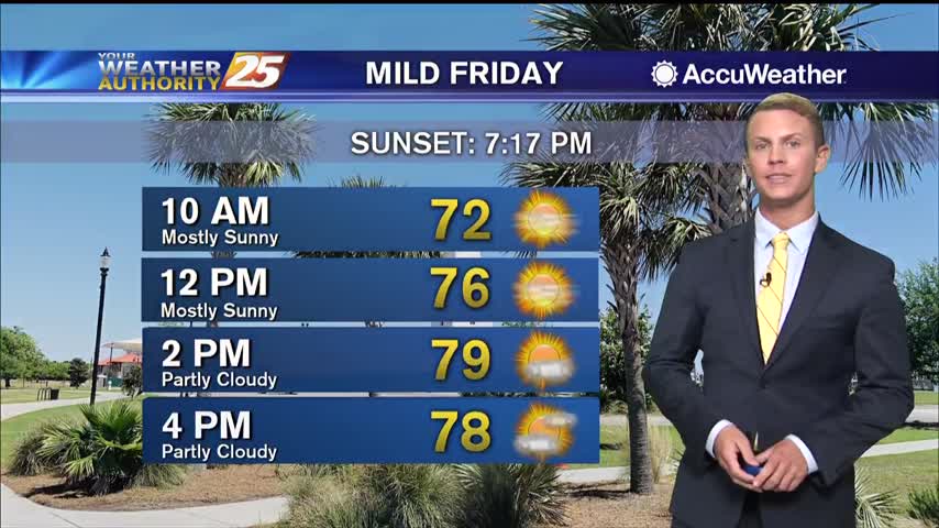
04/03 – Brantly's "Pleasant" Friday Morning Forecast

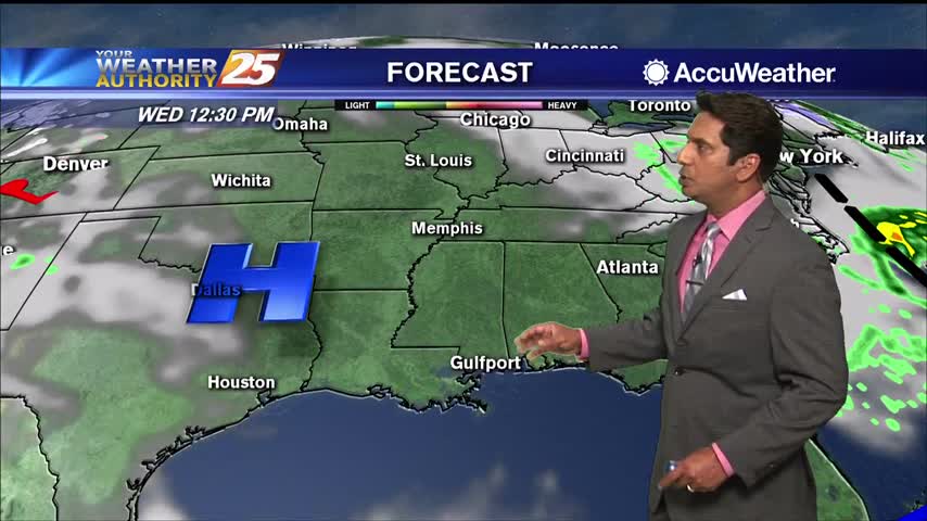
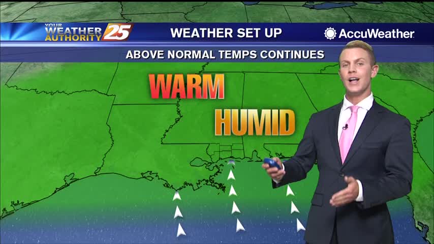
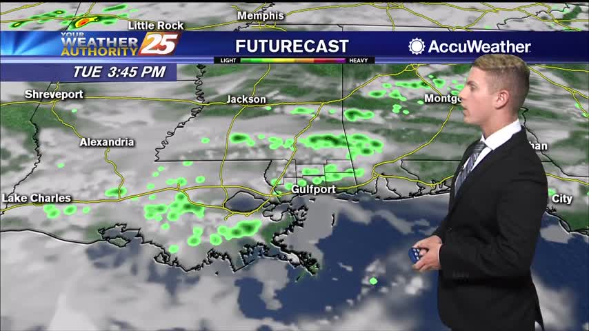
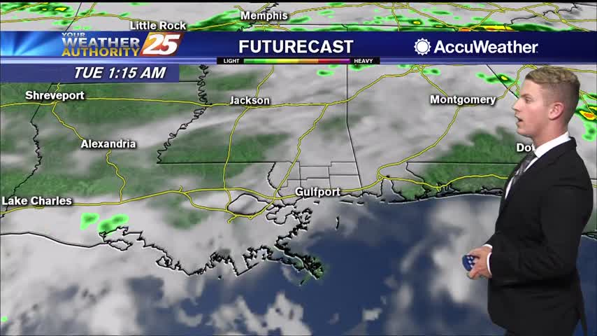
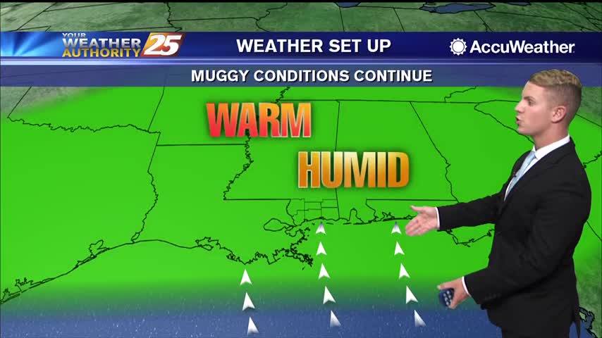
A surface ridge of high pressure extending from the Great Lakes southward across the Tennessee Valley and southeastern U.S. will slowly shift toward the east coast through Saturday. A broad upper ridge remains over the region during the period and…

04/01 – Rob Knight's "Cooler" Wednesday Morning Forecast

Dry conditions expected through Friday then the return flow will begin to bring the humidity and warmth back to the area. Saturday through Tuesday: a relatively strong late season cold front moves out of Canada Friday but quickly shunts eastward…

03/31 – Rob Knight's "Final Day of March" Forecast

The low end threat for severity will move east as a cold front passes today. Some deeper and stronger t-storm cells could form this morning with strong wind gusts the primary concern. By this afternoon, dry air will move into…

03/25 – Rob Knight's "Warm" Wednesday Morning Forecast

A cold front located over northern Mississippi is moving very slowly southeast and away from the area this morning. Some model guidance hints at some of the well-modified air behind it possibly leaking into the northern half of the area…

03/15 – Brantly's "More Heat Monday" Sunday Forecast

Near the surface, a ridge of high pressure will develop along the eastern seaboard on Monday. This will result in a light northerly wind flow developing overnight, followed by a light southerly wind flow redeveloping on Monday. A dry weather…