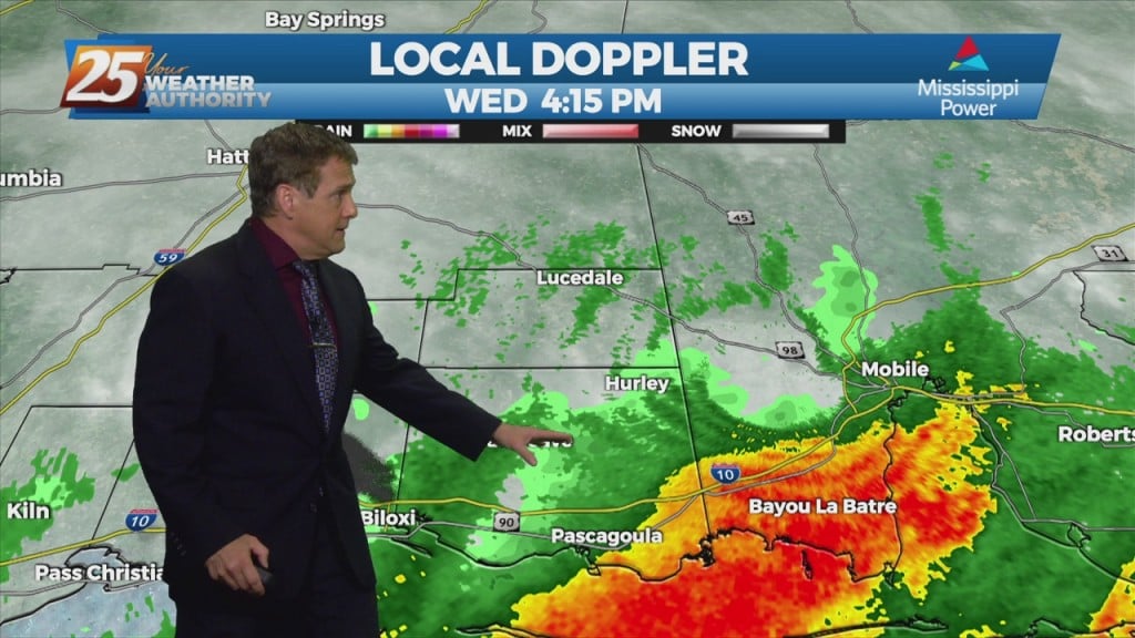
3/10 – Rob Martin’s “Stormy Then COLD” Thursday Evening Forecast
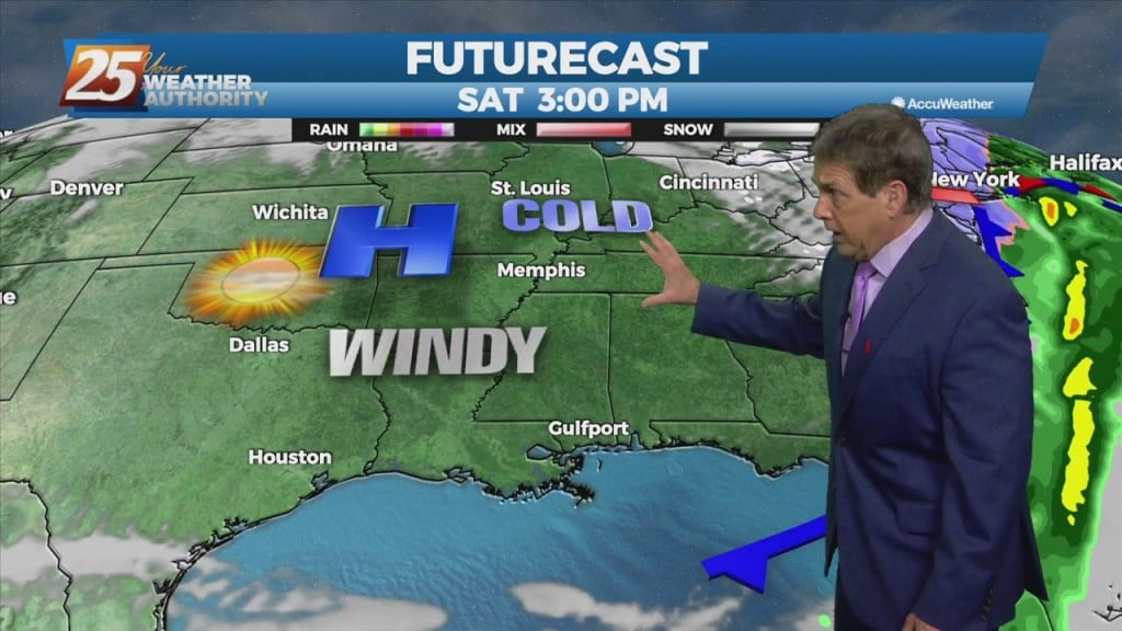
We’re looking good early tonight, but a vigorous cold front approaching from the NW tomorrow. Rain will move back in overnight with elevating rain potential Friday afternoon/night. The stationary front will begin to dissipate with the approaching cold front NW Friday afternoon. The SPC has the area under a “MARGINAL THREAT” for severe potential Friday afternoon/evening with the main threat…