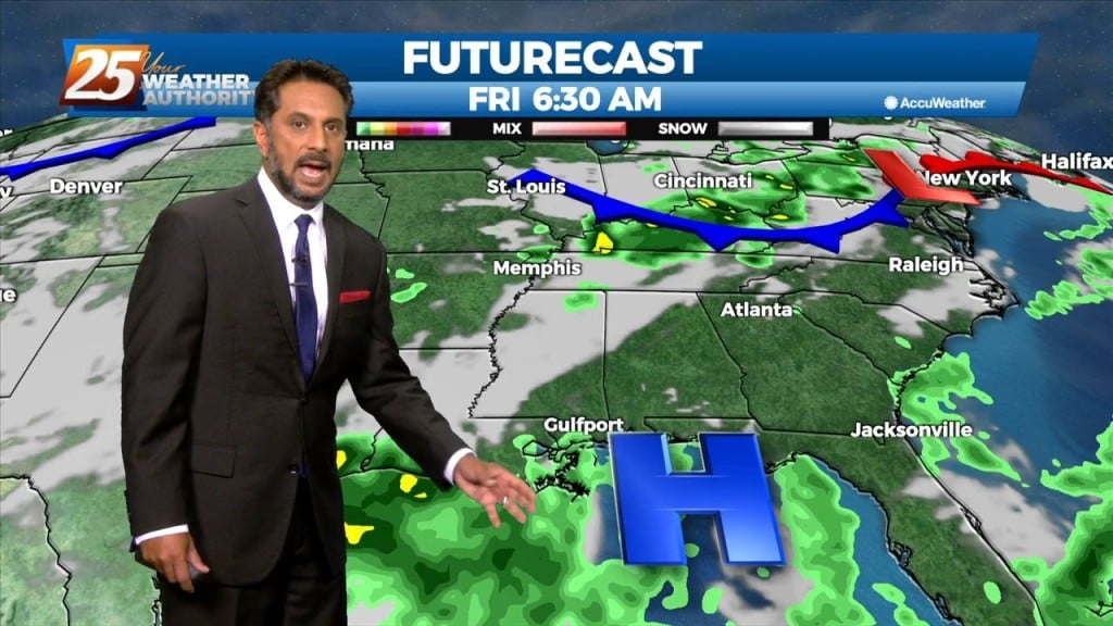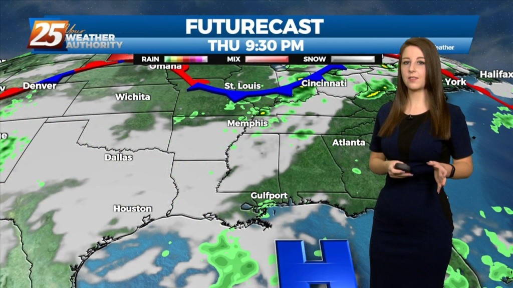
8/4 – Rob Knight’s “Wet Pattern Changing” Thursday Afternoon Forecast
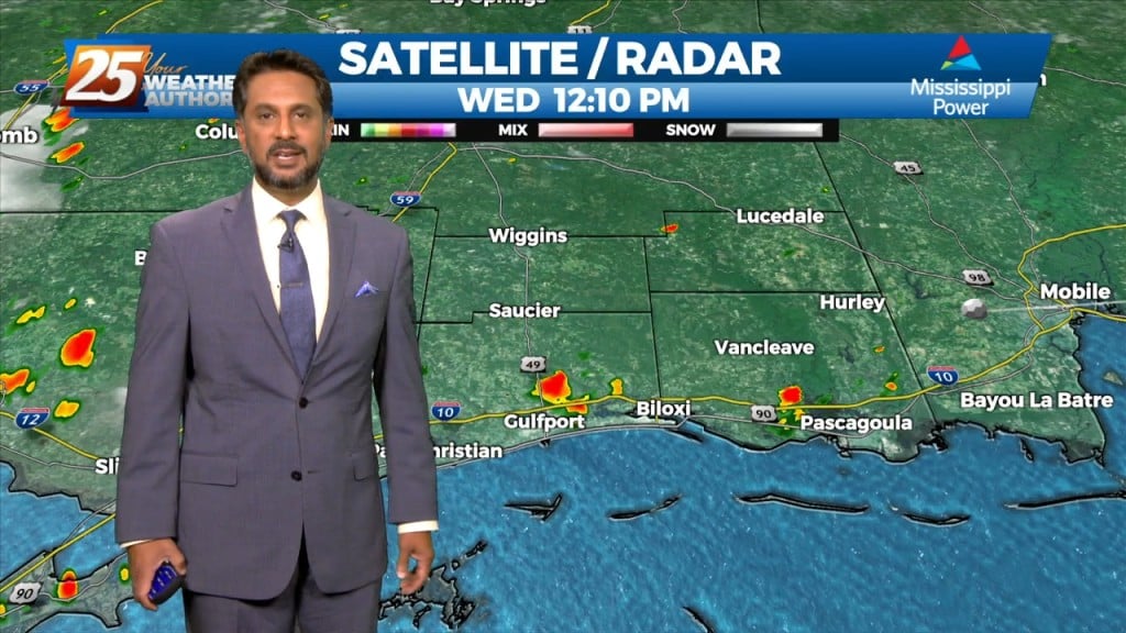
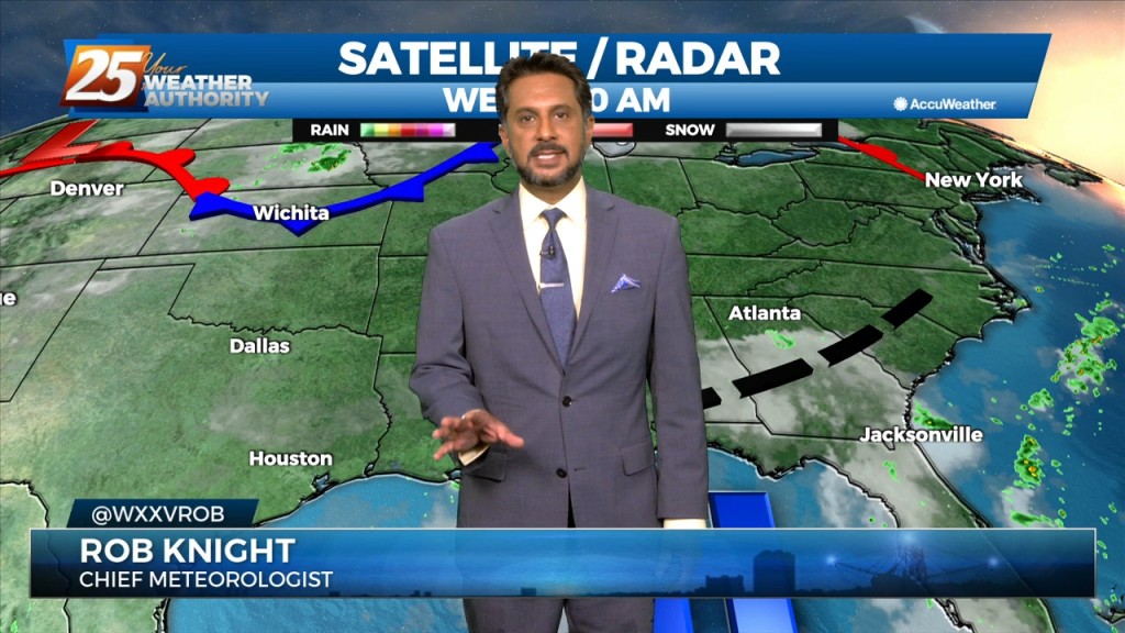
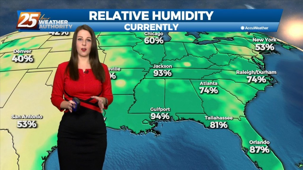
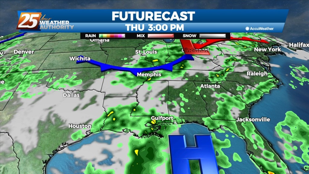
A weakness/subtle mid-level inverted trough over the northern Gulf continues a slow retrograding motion towards the WSW along the outer periphery of a mid-level high pressure centered over the central US/inter-mountain west. Both factors considered will be more than enough to ignite widespread convection later this morning thru the afternoon/early evening hours. Given high moisture content, weak storm motion and…