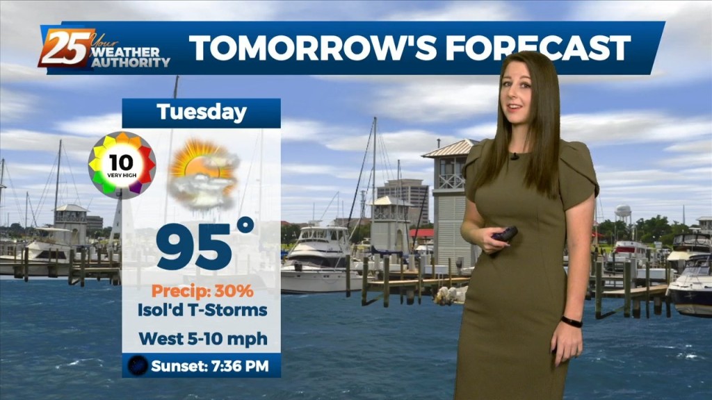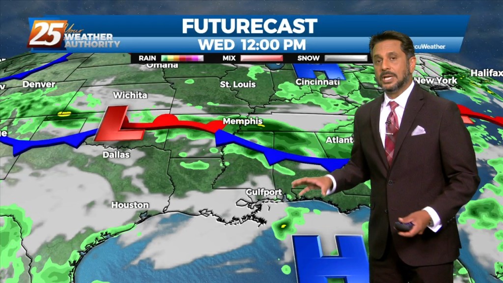
8/16 – Rob Knight’s “VERY HOT CONDITIONS” Afternoon Forecast
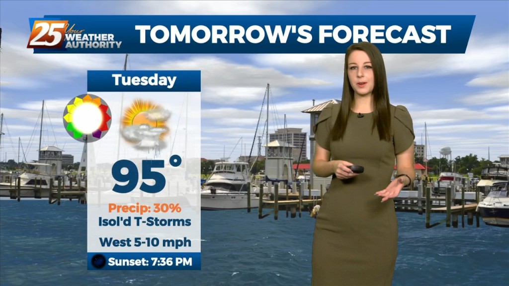
The focus late this afternoon and evening will be on convective development to our north and east, with short-range guidance identifying a zone of low-level convergence oriented NW to SE across central MS into SE MS. This area, lined up with a corridor of higher moisture will be enough to ignite t-storms. The question here will be how widespread/deep can…