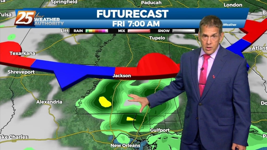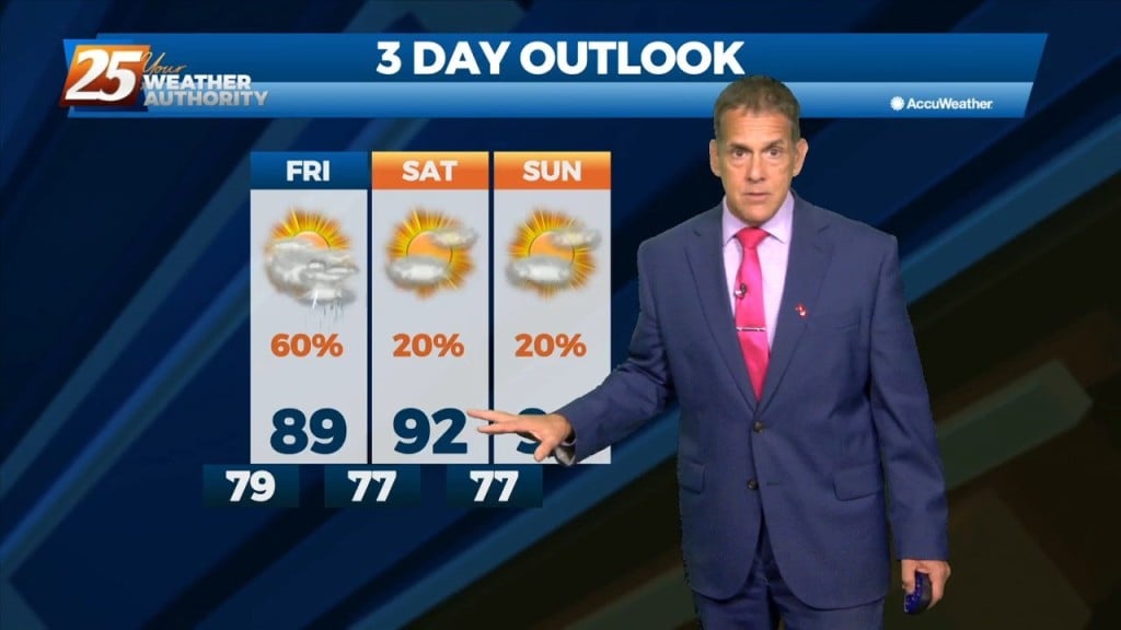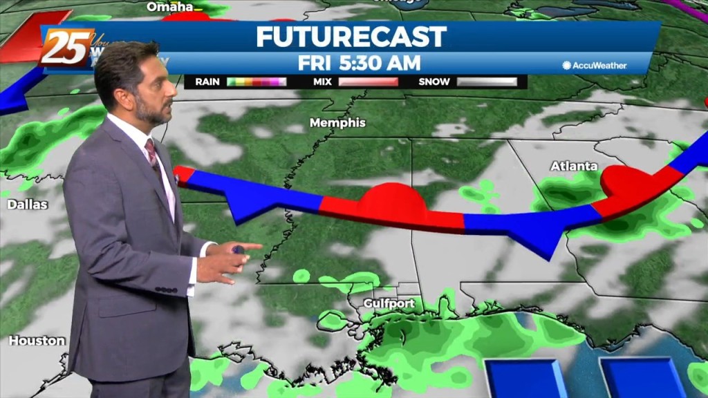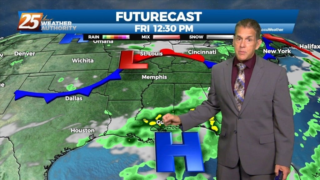
7/22 – Rob Knight’s “Wet Start” Friday Morning Forecast
Today will be the most active day over the next 3 days. Today we will be between two areas of high pressure that will try to merge across the entirety of the southern CONUS leaving us in a slight weakness aloft with slightly cooler mid-level temps. We also will be dealing with the remnants of the convection and outflow boundary currently…