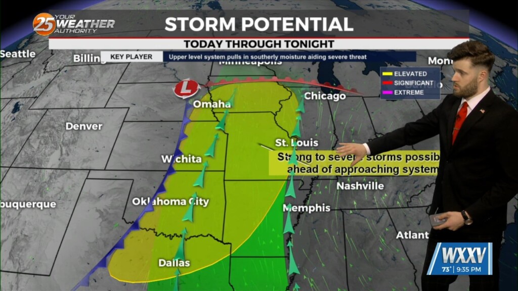
4/28 - Trey Tonnessen's "Expecting Rain" Sunday Night Forecast
Some isolated showers are ongoing now due to warm advection, but there is not a lot of environmental support for these storms. That means, in our…
Some isolated showers are ongoing now due to warm advection, but there is not a lot of environmental support for these storms. That means, in our…
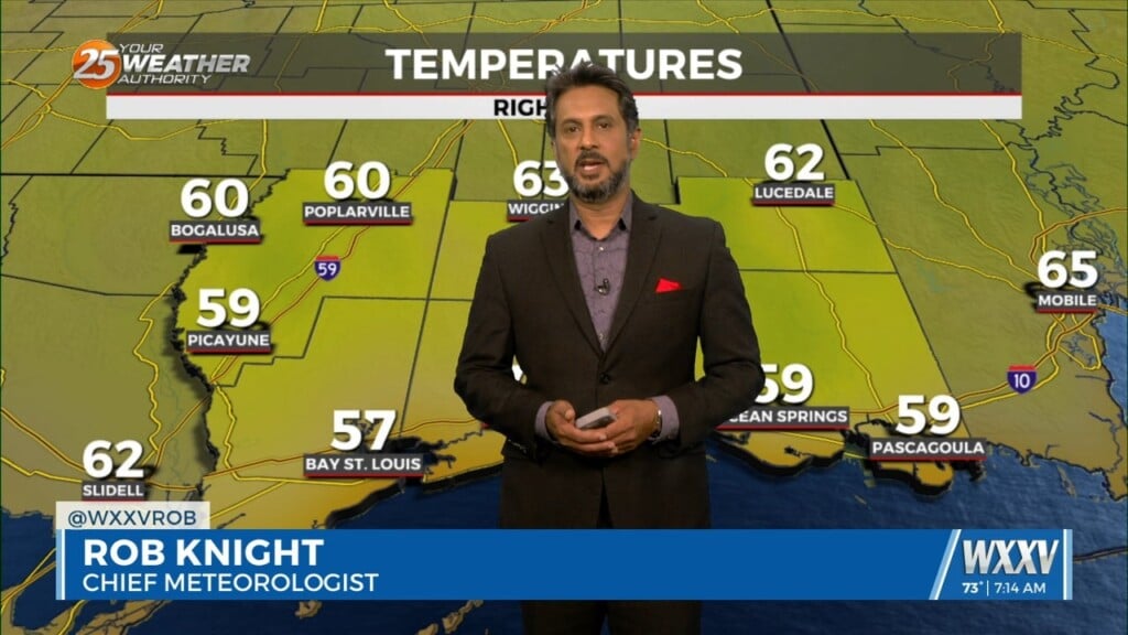
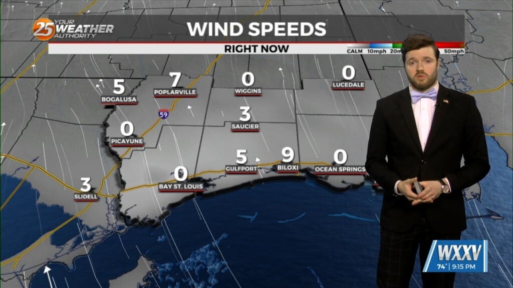
Another wonderful day ahead with sun and clouds mixed, with increasing cloud coverage tonight. A tightening gradient will continue to bring breezy conditions to the area…
After a mostly sunny week coast-wide, several folks have been asking how soon into the weekend we will "pay" for the sunshine. To answer that question…
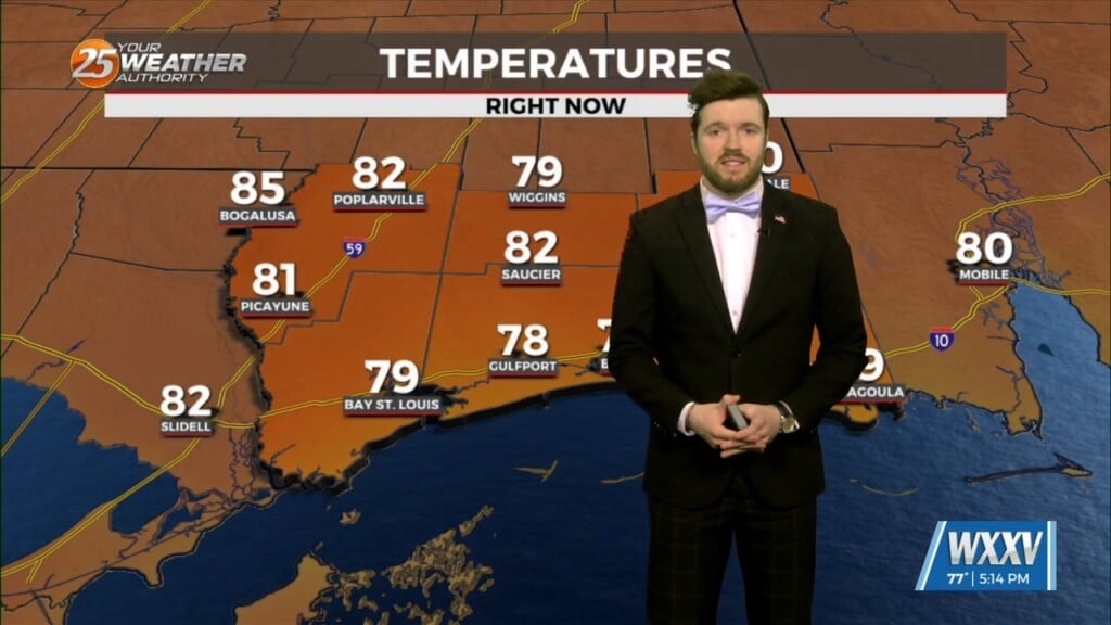
Change is in the cards across the weather community. Gradual changes remain steadily on track to effect the Mississippi Gulf Coast into the weekend. A warm…
For the next few days and through the weekend the word is...WARM. So basically today, April 25th, is probably not the perfect date this year as…
Earlier cloud cover over the northern half of the area has dissipated as expected. Hourly temperature/dew point trends are tracking well at present. Models continue to be…
Northwesterly flow remains over our region as we reside between a shortwave ridge to our west and a modestly amplified trough east of us. With heights…
With high pressure still in control along with a weak cold front to the NW, sunny skies and a zonal/progressive upper flow regime across the…
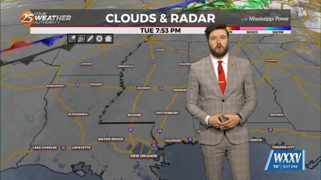
The second half of our forecast starts out with the stalled front just to our north and east. Again, ahead of the front there could be…

Under sunny skies and a zonal/progressive upper flow regime, temperatures have warmed across the region. With the surface flow veering to a more onshore flow with…
The forecast over the next few days and generally even into the weekend is quiet with the only real noticeable change being warmer temps and slowly increasing…
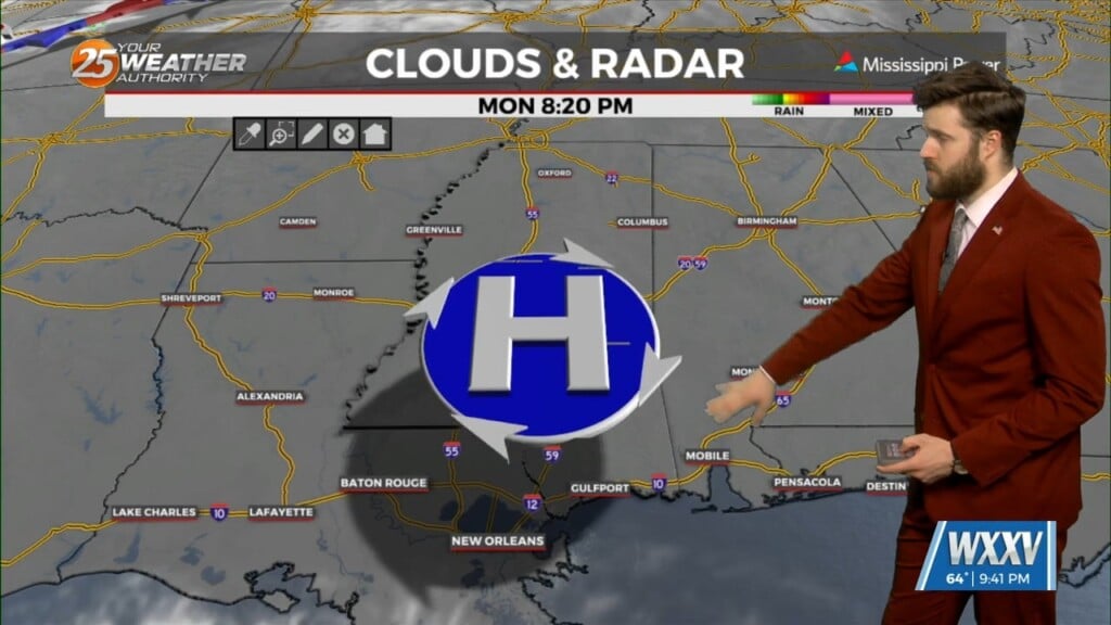
The long range forecast starts out rather quiet with a relatively light northwest flow aloft taking shape on the eastern periphery of an upper ridge.…
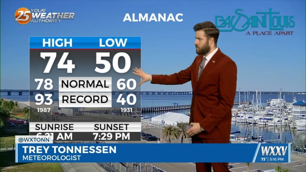
Gradually, the broad scale trough will continue to exit moving east. That will allow for a slightly more zonal or a progressive upper level flow to…
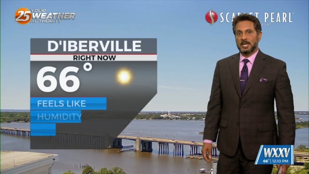
A MUCH DRIER air mass at the surface though the upper levels continue to flow into the region. This dry surge will move through and out…
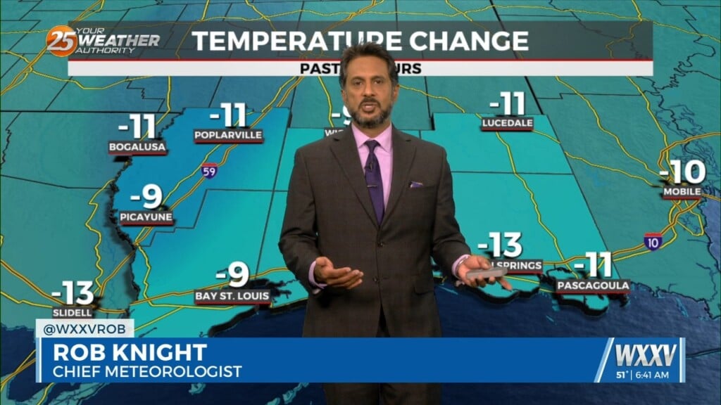
In the wake of yesterday’s cold front, strong dry air surge at the mid and upper levels is continues to move into the area.…
The axis of the shortwave trough that finally pushed Saturday's cold front through the area, is just west of the Mississippi River and will be…

As temperatures warm into the 80s, low level instability will increase and some cumulus development is expected to take hold by late morning. However, a…

Light showers slightly to our north should dissipate this evening and overnight with the loss of daytime heating. Clouds will hang around tonight, and areas of…
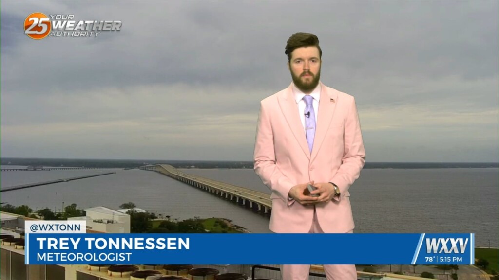
A fairly broad upper level trough pushing south out of Canada will continue to expand across the High Plains to upper Mississippi River Valley the rest…
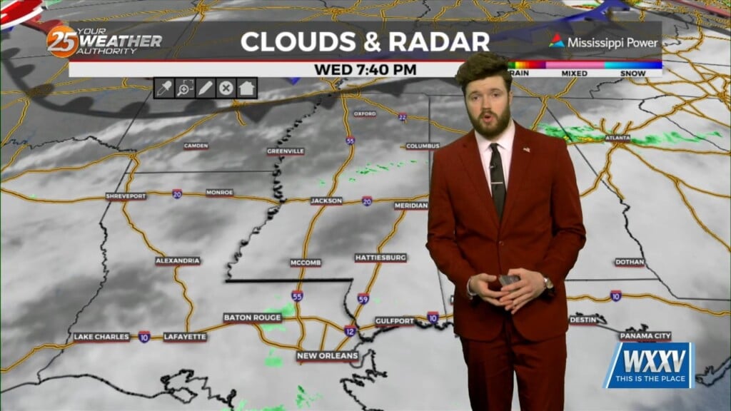
Conditions will remain relatively similar for the next few days with cloud coverage and breezy conditions from the south. The main feature on the map…
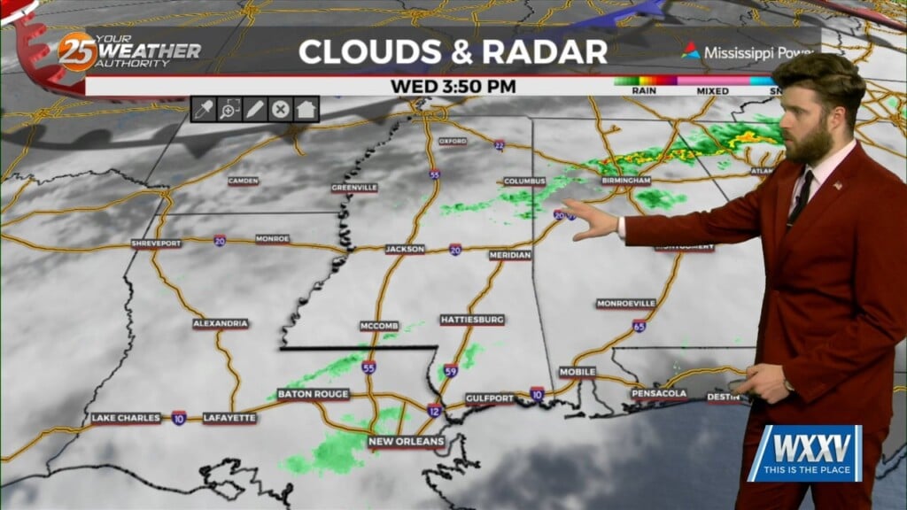
The above mentioned upper trough will continue east across the Great Lakes Friday and Saturday. The upper low aloft will still be fairly flat/zonal with possibly…
A weak upper level low is currently moving through the Great Lakes this afternoon. It is too far north to send a front down to the…
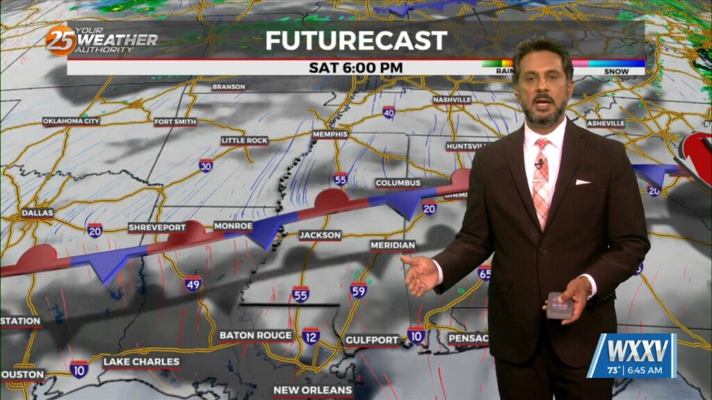
High pressure continues across the Gulf of Mexico, with an upper level disturbance noted over southern Minnesota and over Saskatchewan into the Idaho Panhandle. Surface…
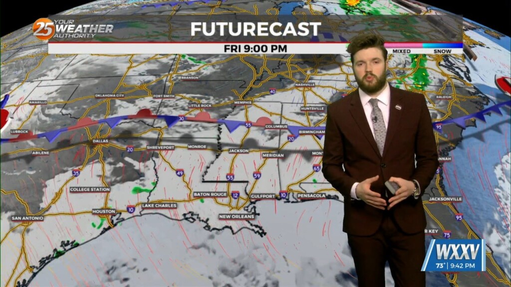
Generally, into the weekend, we see drying in the upper levels, but moistening in the lower. So, we`ll still have clouds, but more in the lower…