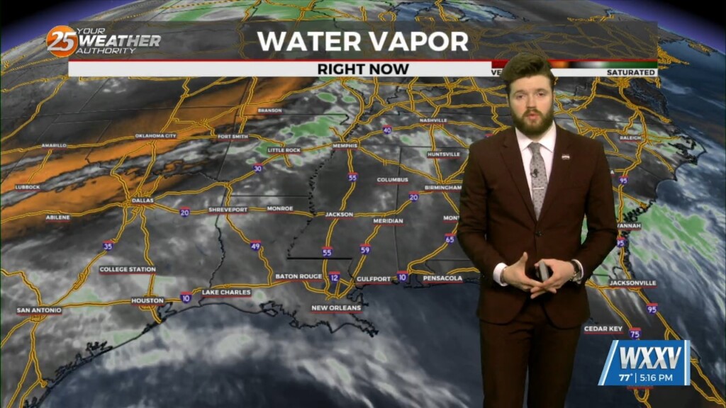
4/16 - Trey Tonnessen's "Moisture Inflow" Tuesday Evening Forecast
As we move towards the end of Wednesday, upper level moisture brings cirrus cloud cover, but mid and lower levels remain fairly dry. Rain is not…
As we move towards the end of Wednesday, upper level moisture brings cirrus cloud cover, but mid and lower levels remain fairly dry. Rain is not…
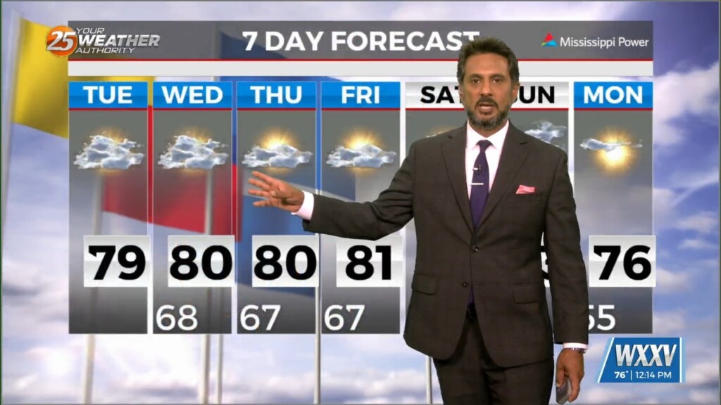
An are of upper-level low pressure will continue to move northeast over the next 36 hours as it gradually gets absorbed by a stronger system over…
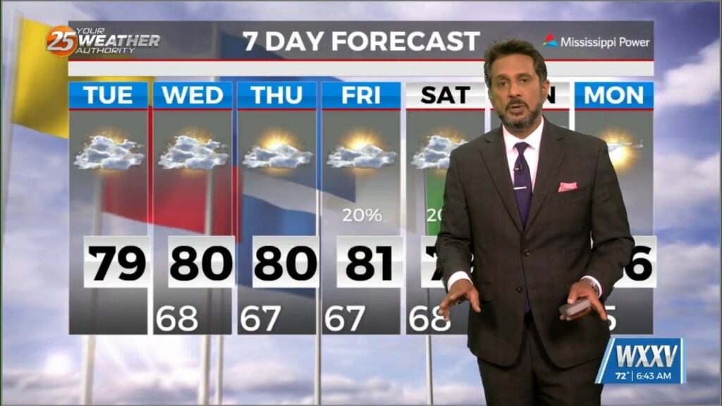
High pressure extended from the Gulf of Mexico to Wisconsin, with an upper-level low pressure near the Colorado-Kansas border. Low pressure was noted over Nebraska with a…
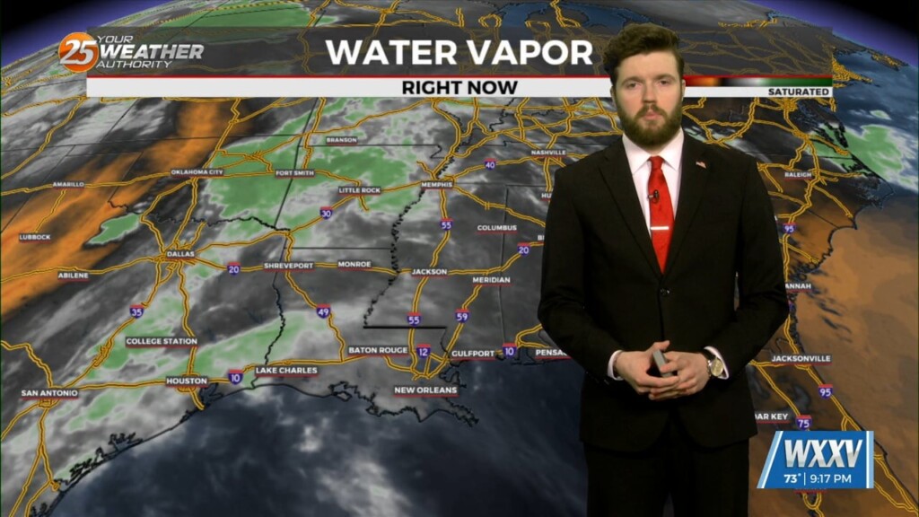
With the upper low lifting into the Great Lakes Wednesday into Thursday, the upper ridge rebuilds along the Gulf Coast, with the surface boundary remaining well…
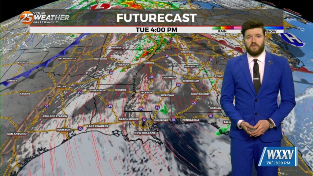
The axis of the upper ridge will shift to the east of the area on Tuesday, as the upper low near Las Vegas lifts northeastward to…
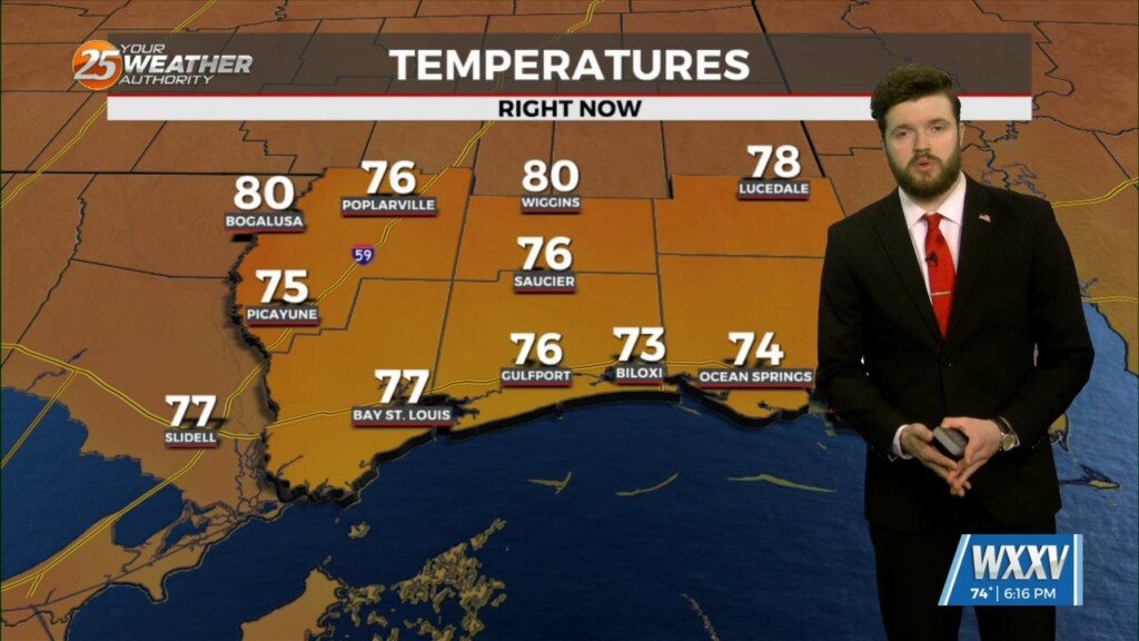
At the surface, high pressure extended from near Bermuda westward across much of the northern Gulf of Mexico. A stationary frontal boundary was well to the…
The upper air pattern shows high-pressure extending from south Texas to the Dakotas, with an upper low-pressure centered near Las Vegas. At the surface, high pressure…
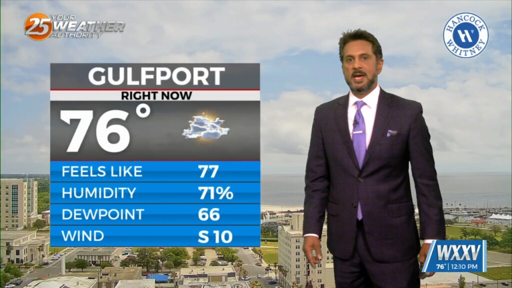
High pressure remains anchored near Bermuda. Southerly return flow around the high has yielded a notable increase in humidity with dewpoints around 10 to 15 degrees…
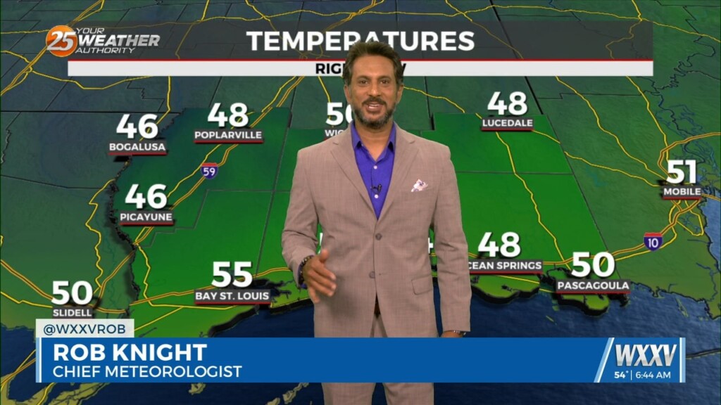
MAKE PLANS FOR OUTDOOR ACTIVITIES THIS WEEKEND... High pressure moving into the region from the NW will provide for dry conditions, which will go a long…
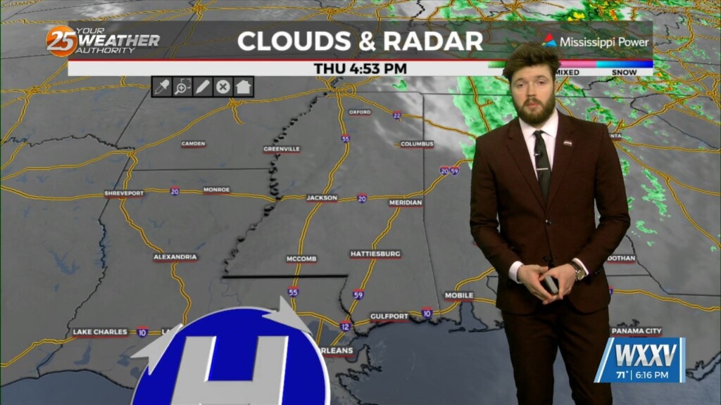
Clouds have cleared out and sunny skies have taken over. Wednesday's cold front continues to push through with cooler and drier air sinking into the area. Additional…

Return flow begins again Saturday and the next frontal system that is on the horizon moves to a Texarkana to Laredo, Texas line, before slowing down.…
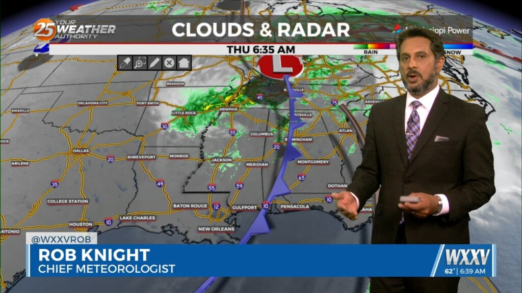
Now that the most violent weather has moved east, we will now work with the back side of the surface low-pressure that still wants to hang…
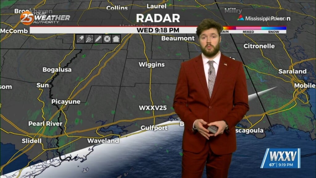
Heading into the weekend things will remain quiet with temperatures beginning to moderate however, moisture will struggle to return through the weekend. Northwest flow will…
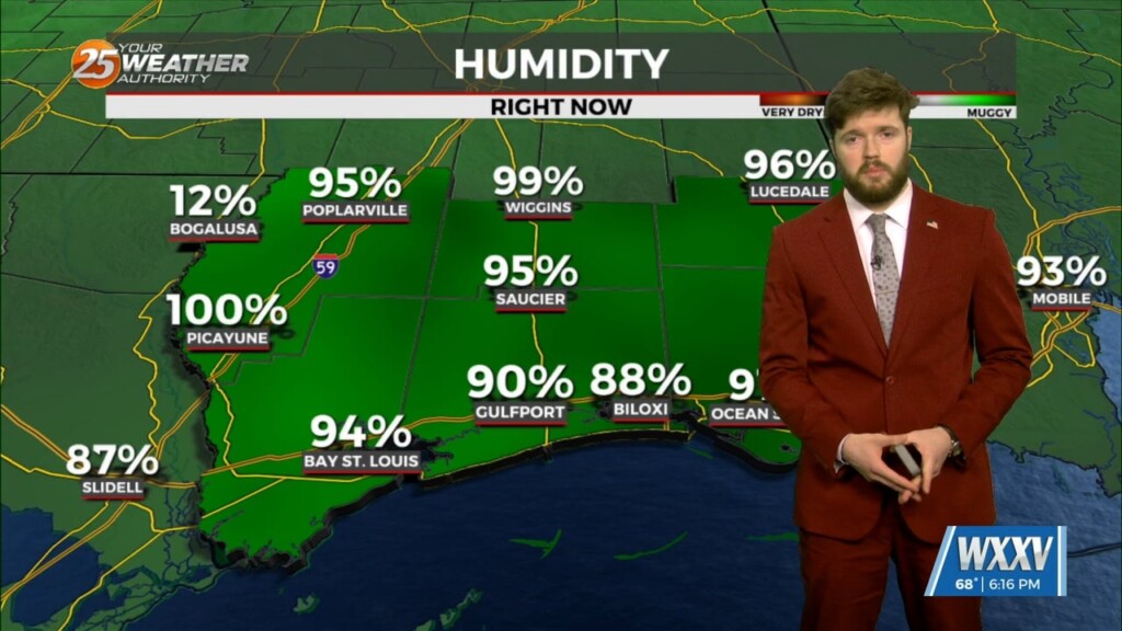
After a very active day things are beginning to calm down, with storms mainly impacting portions of coastal Mississippi and coastal Southeastern Louisiana. The severe threat…
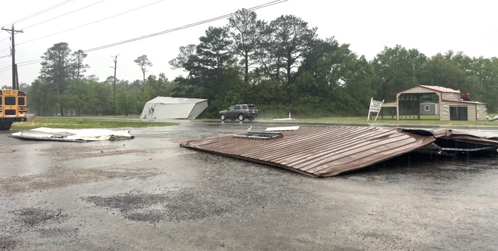
WXXV is gathering flooding and damage reports from around South Mississippi. We'll report them as we get them. If you have damage to report, please send the information to news@wxxv25.com. Gautier reported areas of Old Spanish Trail flooded on Tuesday…
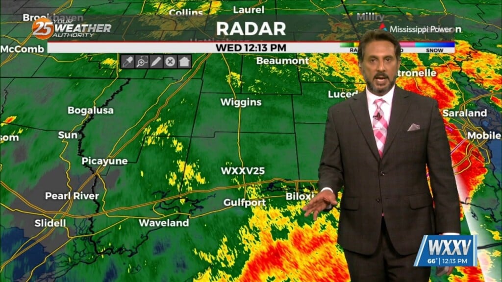
A vigorous storm system continues to move east though the region. Activity from this morning will begin to taper-off…with another batch of energy moving tough the…
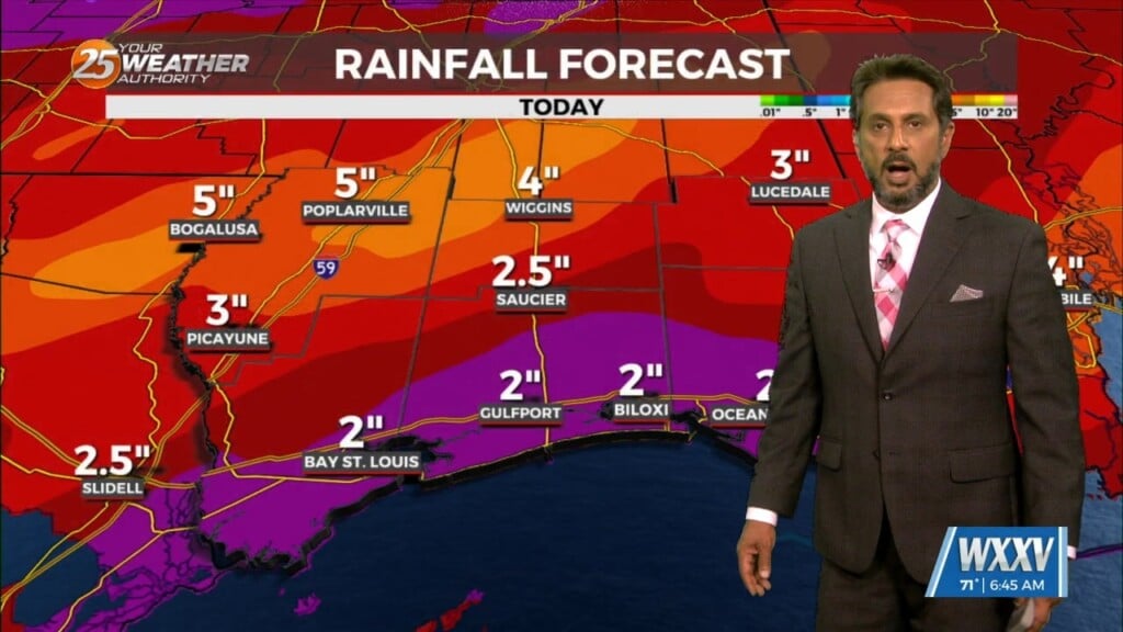
A stable layer in the low-levels of the atmosphere is eroding, Which thus far has protected us so far, but this is currently leaving and…
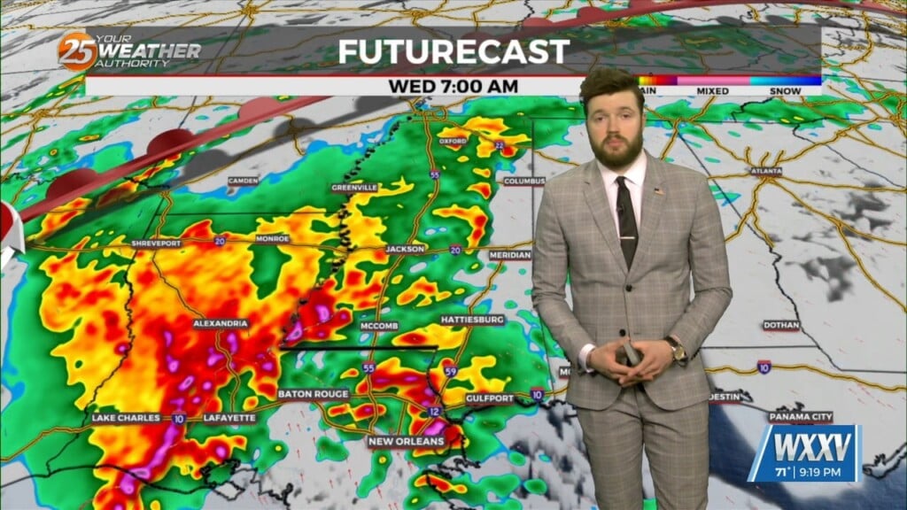
Wednesday's first main area of concern, showing very strong divergence in the upper levels; will move through first while another area gets started over the west…
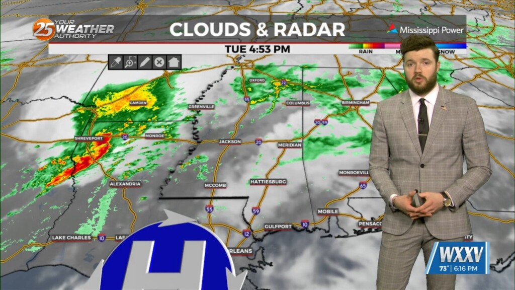
We should see an area of storms begin developing near Laredo, Texas around midnight tonight. These storms will be the main focus for severe weather over…
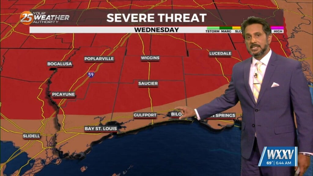
Again today, we should see showers and a few t-storms around. But as we move forward in time, a few of these storms could become…
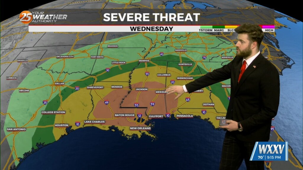
As the surface low deepens late tomorrow night and Wednesday morning, winds in the upper layers will increase from near 35 knots to at or above…
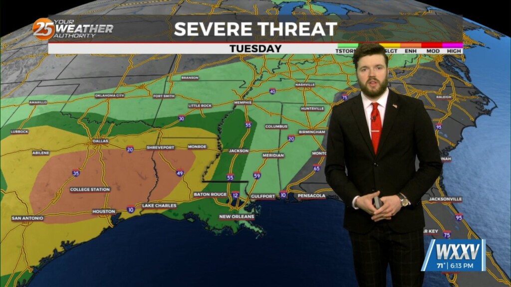
Upper ridging from Florida to the eastern Great Lakes this afternoon. Upper lows over Minnesota and western Arizona. At the surface, high pressure along the Carolina…

Early Wednesday we will see a cold front moving toward the area with very moisture content for this time of year. If this were stalled over the…
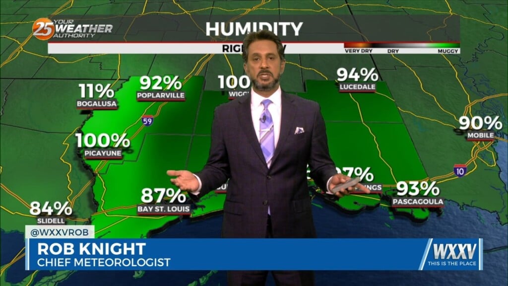
Cloud coverage and breezy conditions will increase this morning as an approaching cold front to the west stalls. Early Wednesday we will see a cold front…