12/01 Ryan's "Fall-ish" Thursday Night Forecast
It was cool and dry today as promised, but how long will that last into the weekend. Details inside.
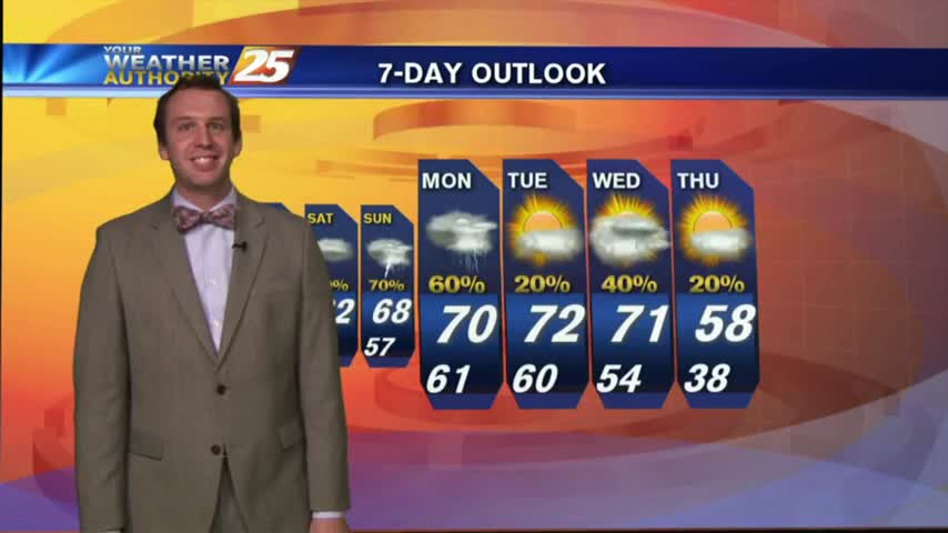
It was cool and dry today as promised, but how long will that last into the weekend. Details inside.
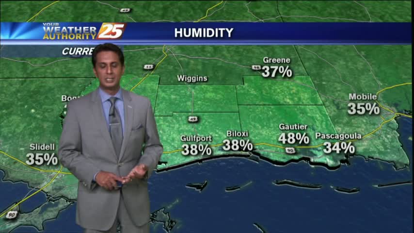
After a CHILLY start, an abundance of sunshine has temps warming nicely into the 60s...
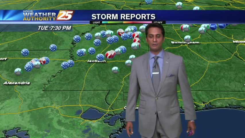
In the wake of a cold front, high-pressure to our NE is providing for cooler temps and drier conditions...
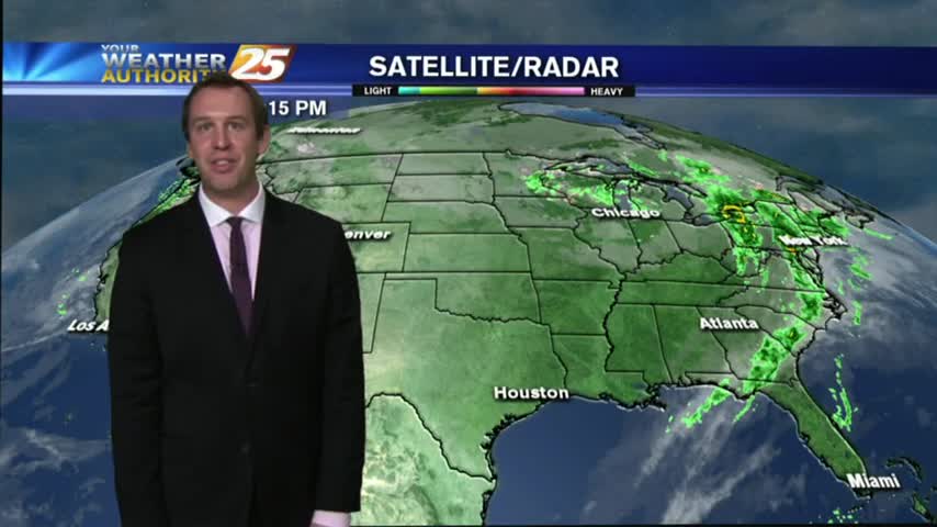
We're looking at much different conditions than what we were seeing last night, so some "cool" changes are ahead. Details inside.
Rain has ended across southern Mississippi and milder weather will complete our workweek. However, a few consecutive days of rain are to affect us starting this weekend.
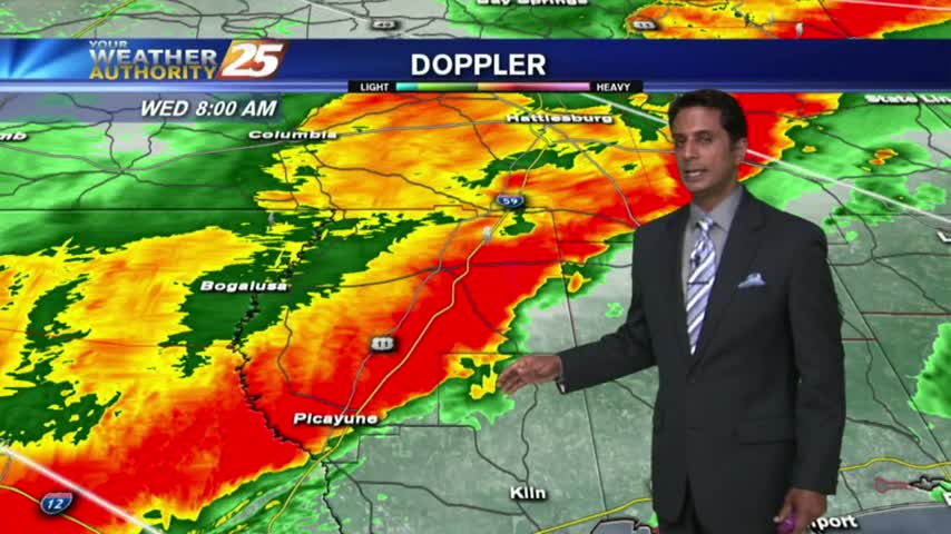
The more intense activity associated with the cold front is now moving across the area...
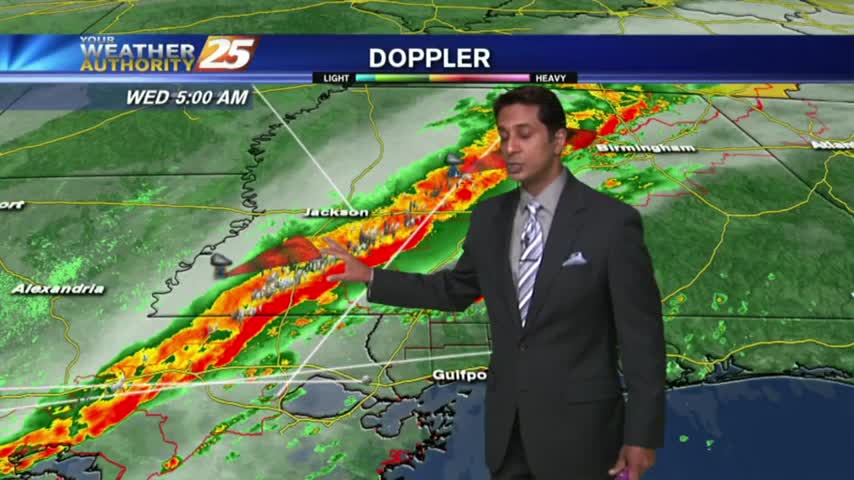
A line of INTENSE t-storms associated with a slow moving cold front will affect the viewing area this morning...
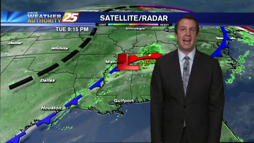
Strong storms expected overnight, but the sun returns before the weekend. Details inside.
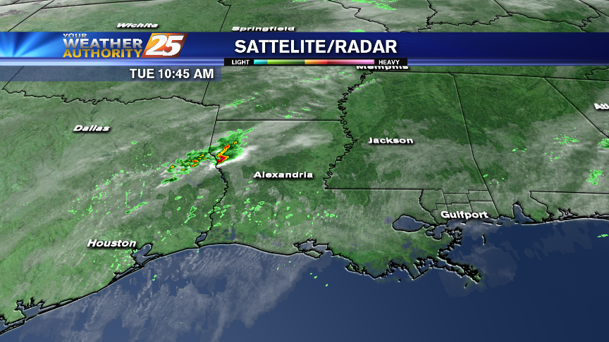
Strong to severe storms are possible on the Coast tonight and into early Wednesday. Damaging winds and isolated tornadoes will be possible from late this afternoon through mid-morning Wednesday.
T-storms from last night continues as the energy begins to move to our east...
Cold front moving nearby tonight, but rain will last into Wednesday. Full forecast inside.
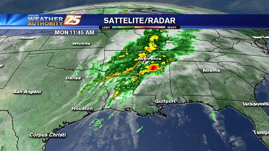
Strong to severe storms will be possible tonight on the Coast and again Tuesday night and Wednesday morning.
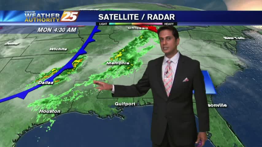
A south wind from yesterday continues; increasing humidity and feeding an approaching cold front to our west...
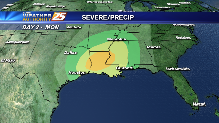
Rain and thunderstorms will affect the area starting on Monday afternoon through Wednesday with rounds of severe storms possible Monday evening and again Tuesday night.
Ended up being slightly warmer than expected today, but the weekend should remain in the upper 60s and a bit drier. Details inside.
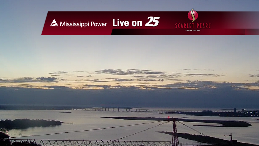
Excellent weekend weather is forecast for the Mississippi Gulf Coast!
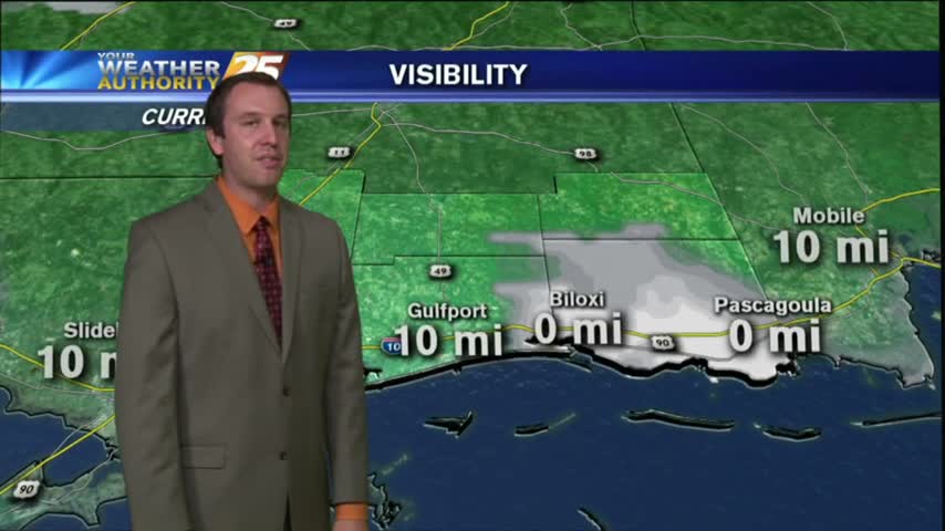
It was a bit warmer Thanksgiving afternoon, but we'll see cooler temps through the weekend. Details within.
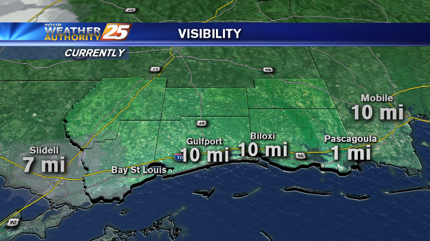
HAPPY THANKSGIVING! Fog is affecting some areas of the Coast this morning. Changes that will bring rain and possibly a few thunderstorms are on the way early next week.

Moisture pooling in the SE due to a weak front moving through the area, so slightly cooler and drier conditions are expected for Thanksgiving.
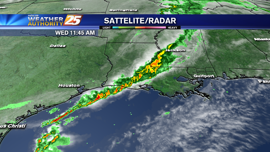
Rain and thunderstorms are affecting parts of Mississippi, but they won't be coming to the Coast. Thanksgiving weather looks nice and mild!
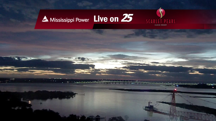
Rain and storms will get |THIS| close to coastal Mississippi later today but die out prior to making it. However, next week won't have the same outcome.
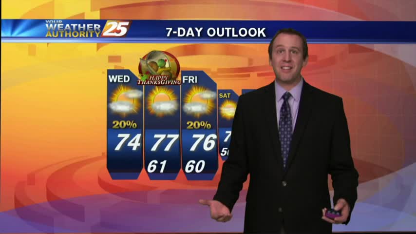
No Gulf Coast areas will get near freezing tonight due to additional moisture advection, a gradual trend we'll see throughout the rest of the week. Full Thanksgiving forecast inside.
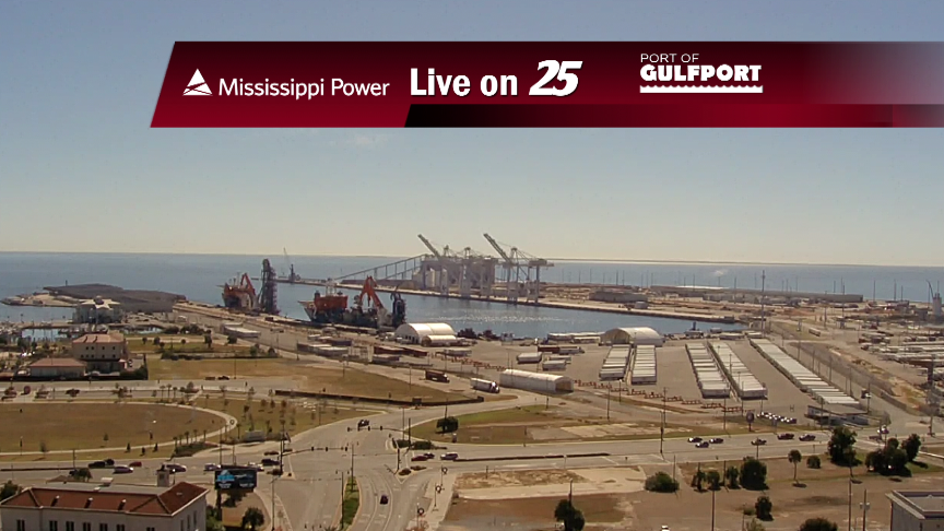
While areas west and north of the Coast will get thunderstorms on Wednesday, our weather should be a bit calmer.
After one more fair weather day, changes will be apparent on Wednesday. We've got your forecast for Thanksgiving and more rain coming next week.