11/29 - Rob's "Severe Threat" Midday News Forecast
After a warmer and cloudy start to the day, a few light showers are developing along south Mississippi...
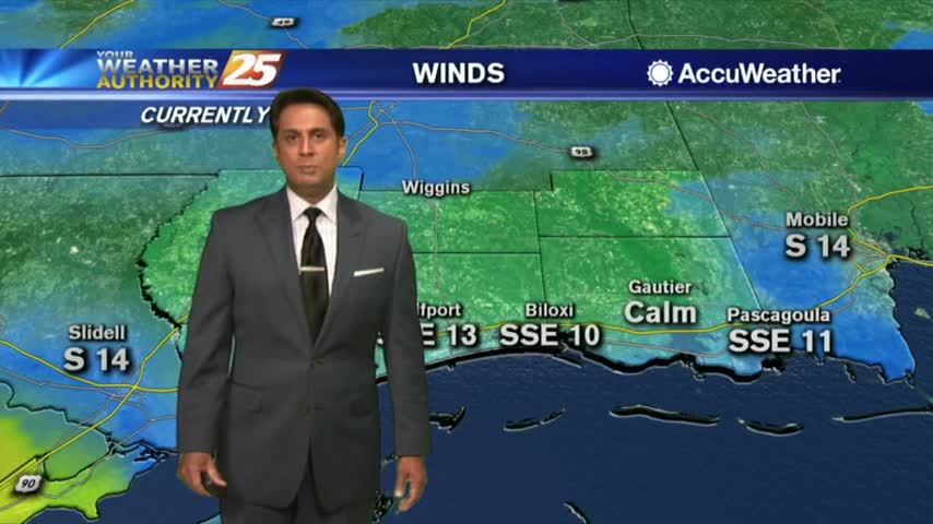
After a warmer and cloudy start to the day, a few light showers are developing along south Mississippi...

A MUCH WARMER start to the day as temperatures are about 15-18 degrees warmer than yesterday morning...

The clouds have moved in and we'll see much warmer nights and days ahead....
The sun has gone down for the day, but don't expect another cool-down like we've seen the last few nights....
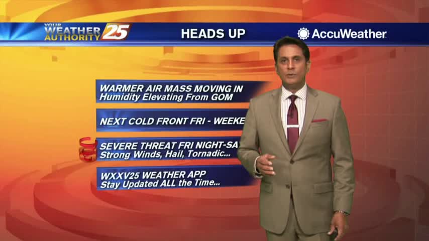
After another COLD start to the day, the wind flow has switched with the warming trend beginning...
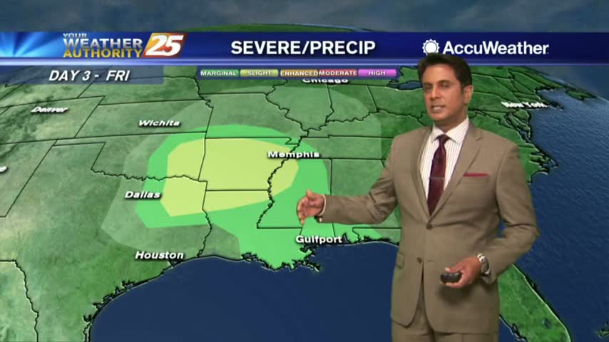
It's another FRIGID start to the day but MAJOR changes are ahead in the forecast...

The skies remain clear and dry, but we're in for another chilly night before things warm up....

Cooler the next few days, but warming this weekend.
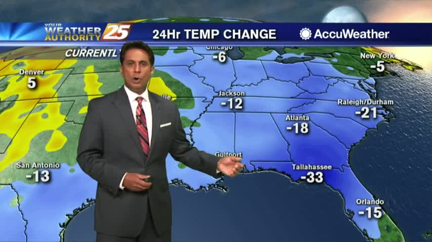
Under clear skies and a northerly flow last night, it's a FRIGID start with a FREEZE WARNING in effect through 8 a.m...

The freezing temperatures are moving in, but our afternoons will be nearly perfect for the next few days....

The cold air continues to move in and brings a Freeze Warning tonight as temperatures drop to 32 and below across the coast....

Freeze Warning Tonight
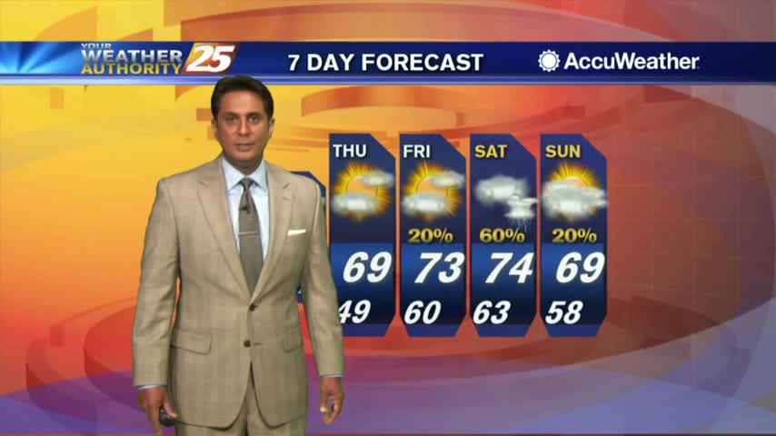
The cold front continues to move further east as the cloud coverage lingers back to our west...
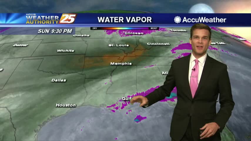
Fog now, cold and windy by tomorrow.
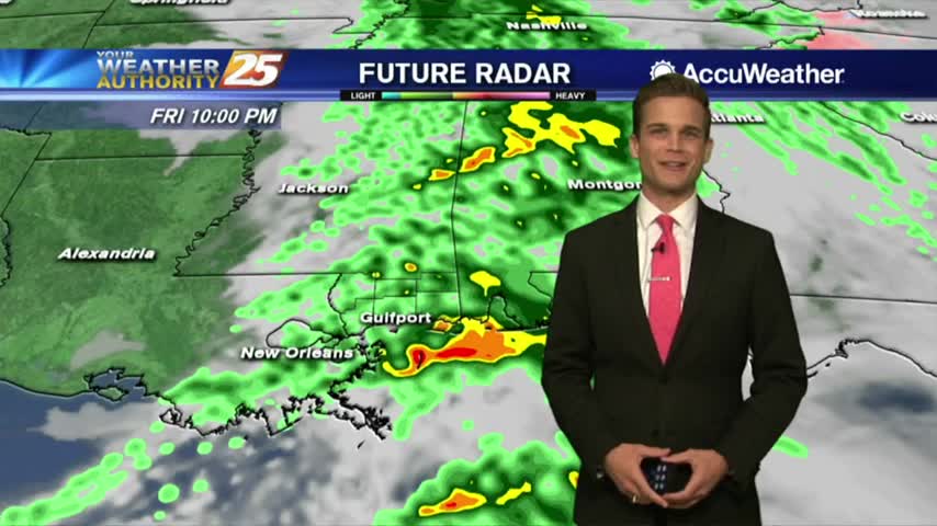
Rain moving through the area over the next several hours.

Rain tonight...clearing Saturday...rain Sunday
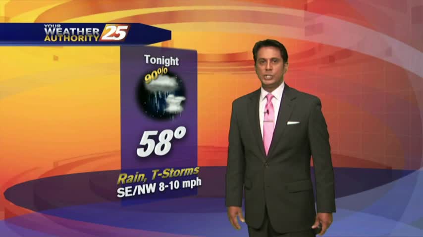
A warmer start to the day as the cloud coverage has moved into south Mississippi...

Black Friday Shopping? Better bundle up.

Happy Thanksgiving! Rain chances going up.
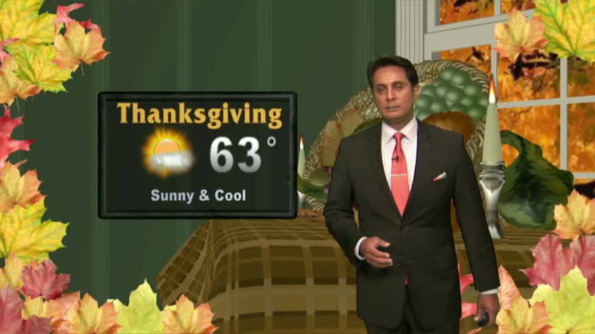
Light rainfall is moving east across the N'tern Gulf of Mexico with a few light sprinkles skirting the viewing area...
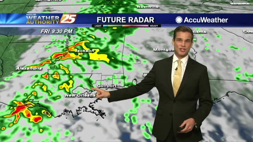
Rain chances tonight. Sunny by tomorrow.
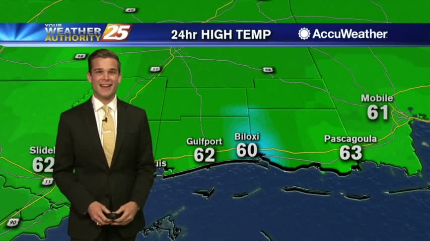
Thanksgiving is looking good!
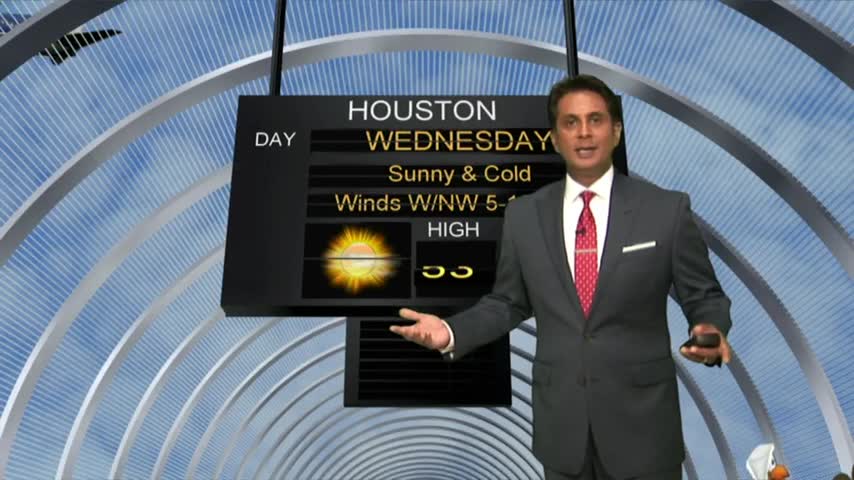
After a FRIGID start to the day, cool temps continue with upper-level clouds moving across the area...

High-pressure dominating the region to our NW, has allowed a few locations to drop into the upper 30s to start out the day...