4/26 – Brittany’s “Clearing Skies” Tuesday Afternoon Forecast
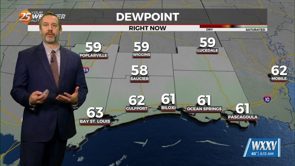
As the cold front is now to the east, post frontal clouds will slowly dissipate this afternoon as drier air moving in from the NW. High pressure will shape the forecast through Friday as the less humid flow will dominate through Thursday night before the return flow begins. At the same time a strong disturbance will work southeast out of the Pac northwest Thursday night. It will dig over the Rockies and close off over the central Plains. The high pressure between both of these will amplify and block the Plains low forcing it to slowly work into the Mid MS Valley by late Saturday night and only pushing into the Larger Great lakes by late Sunday night. This will weaken the high pressure over the region.
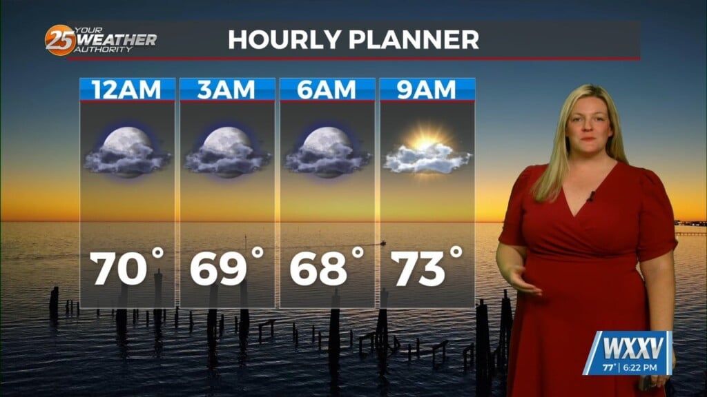
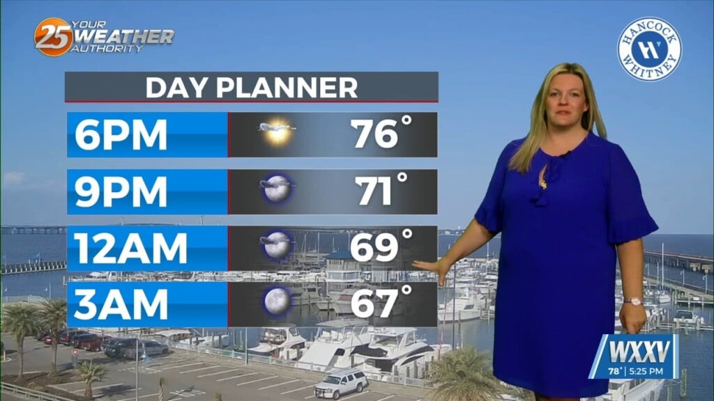
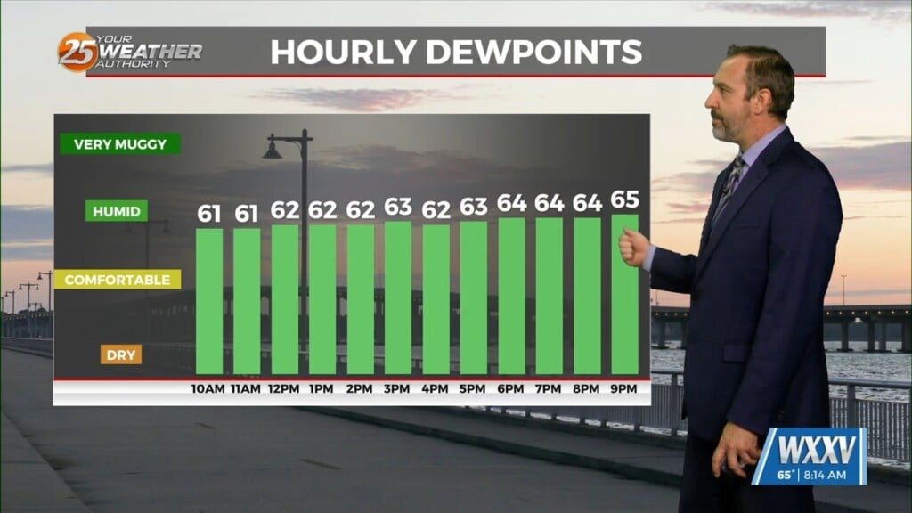
As for temps, Highs will not change much. The biggest change we will see will be in morning lows. These will go from upper 40s to near 60 on Thursday morning to the mid-60s and near 70 by Sunday morning. The main reason for this will be moisture finally increasing in the low level. High pressure at the surface will dominate the region through the week leading to light winds through Friday but by Friday night and through the weekend the surface high will become centered east of the southeast CONUS and north of the Bahamas. This will cause low level winds to increase out of the south and southeast finally pumping moisture back into the area.


