4/5 – The Chief’s “Severe Threat” Tuesday Morning Forecast
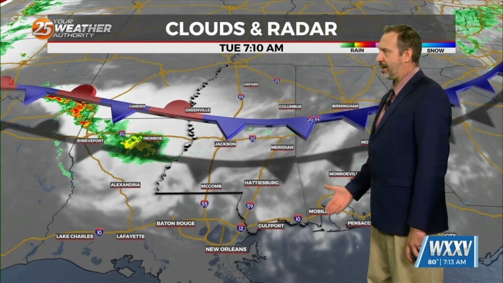
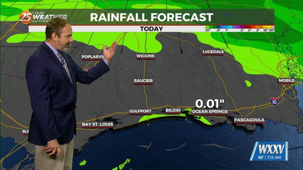
The warm front is now to the NE placing the area under the warm/moist unstable sector of this system. The synoptic and mesoscale pattern continues to support the development of an t-storm complex to the NW moving SE.T-storms through the overnight and early morning hours, but allow convection along the line to intensify and accelerate as it approaches our region from the northwest. There has also been a slight northward shift in the model guidance regarding the southern extent of the bowing segment in this line (this is where the threat for damaging winds and tornadoes is greatest) this morning. This may cause the boundary to get hung up over the northern area and increase the likelihood for storms to train over the same areas. Models have come into better agreement, showing areas to the north of I-10 in SW MS and as most likely being where a band of locally heavy (2-3″+) rainfall could set up.
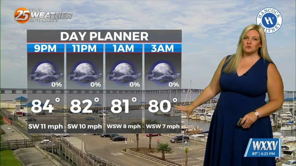
The threat for severe weather and flash flooding will diminish by late morning and as you go south of I-10/I-12 as the best lift with the disturbance quickly passing to our north and northeast. Despite plenty of instability in the lingering warm- sector, the exit of the deeper lift will make the mid-level subsidence more of an inhibiting factor for sustained, robust t-storms.
An upper trough associated with a closed low over the Upper Midwest will amplify over the central CONUS on Wednesday. This will allow a strong cold front to progress southeastward across the lower MS Valley. While there is some timing discrepancy with the front, consensus shows the front moving through the forecast area Wednesday late afternoon and evening. With the best dynamics to the west. If any storms develop, forecast soundings show a moderately unstable environment with mid-level dry air that support locally damaging downbursts.
High-pressure will move in Thursday providing for lovely conditions through the weekend.