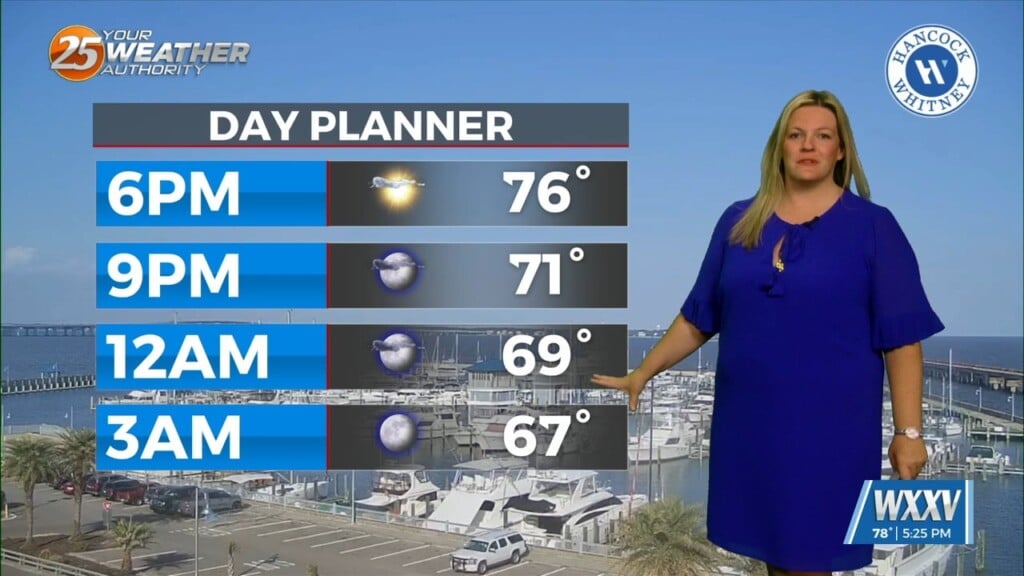
02/20 Ryan’s “Pre-Frontal” Monday Afternoon Forecast
We’re already beginning to feel the “pre-frontal” effects of tonight’s system as clouds continue to thicken and showers will being within a few hours. We are not under a severe weather threat, but some t-storms are expected as the front pushes through around 3 am overnight. This system has upper level support, and is expected to be a slow-moving, efficient rain producer. Local rainfall amounts could exceed two inches, but the Gulf Coast as a whole will average between half and one inch. The largest issue I expect will be some hyper-localized flooding. After the front moves East, by 10 am Tuesday, expect gradual clearing into Wednesday afternoon, at which point we’ll begin seeing clearer skies and a few cooler days as we head into the weekend.


Leave a Reply