Showers and storms continue into the weekend
Meteorologist Sam Lucey has a look at the forecast for south Mississippi
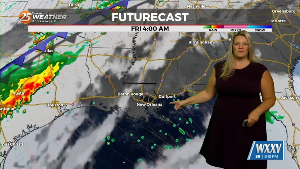
A much wetter pattern sets up for the weekend, with rain chances ramping up Friday and staying high through Sunday. We could see several rounds of showers and thunderstorms, and Sunday looks like the day to watch for heaviest rainfall.
With multiple rounds of rain possible, some areas could pick up a few inches over the weekend, with the highest totals potentially climbing more than 5 inches.
Rain chances remain elevated into Monday and Tuesday, but the pattern gradually starts to shift. Northeast winds pick up early next week, helping to bring in cooler air behind the cold front.
Temperatures will also trend downward by the middle and end of next work week, falling into the low 80s by Wednesday. Overnight temperatures cool off even more, with lows dropping from the 70s this weekend into the 60s by the middle of next week.