07/28 Ryan’s “Heat Warning” Tuesday Morning Forecast
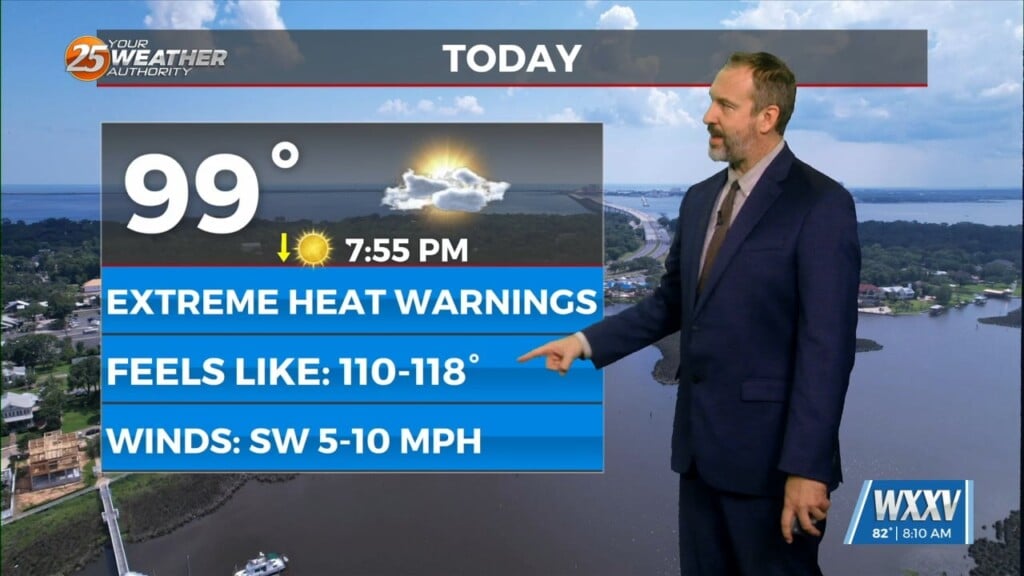
We're in for more dangerous heat again today, with heat indices potentially reaching as high as 118°
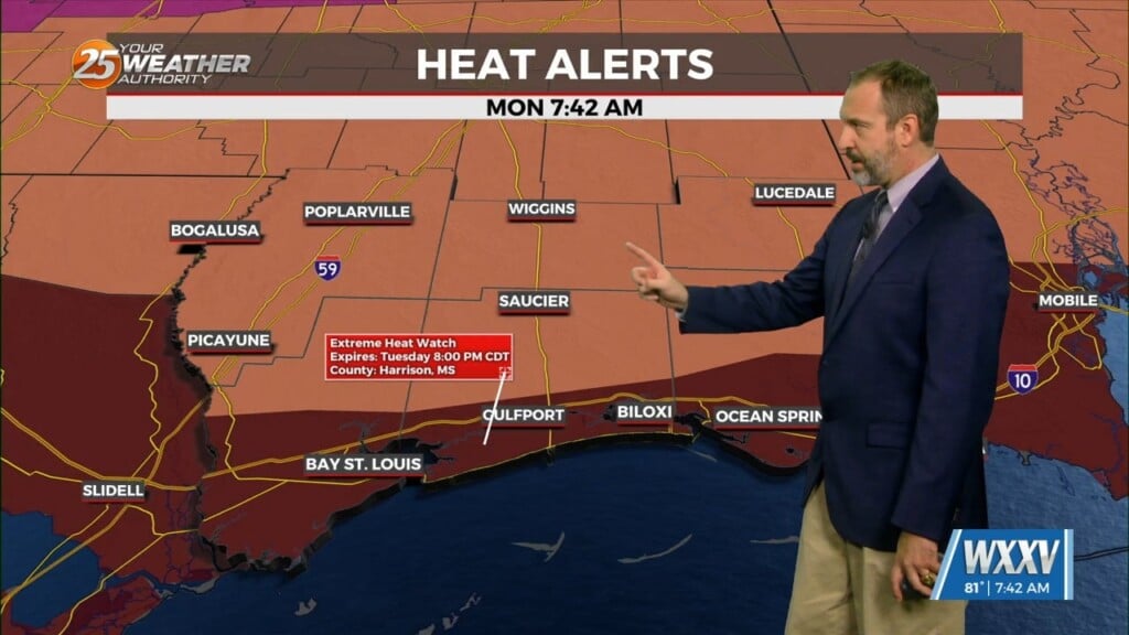
Get ready for another miserably, even dangerously hot day with an Extreme Heat Warning along the coastal areas of South Mississippi. This warning extends just north of I-10 and denotes where the heat index is likely to exceed 110°, potentially as high as 115°. This is unsustainable outside of short increments, so please take steps to limit your exposure outside and practice heat safety. That means staying hydrated, mostly with water though sports drinks are good if you have been sweating to replenish electrolytes. Wear light, loose-fitting clothing to maximize air-flow, and seek shade whenever possible. If you can, it’s best to simply avoid being outside during peak heating hours, typically between 2-6 PM to be safe. Temperatures will remain dangerously high for Wednesday as well, but will start to cool for the rest of the week as rain chances rise and cloud cover increases.