07/16 Ryan’s “Getting Hotter’ Thursday Morning Forecast
We're in for another drier summer day today, but it will get noticeably hotter as we head through the weekend.
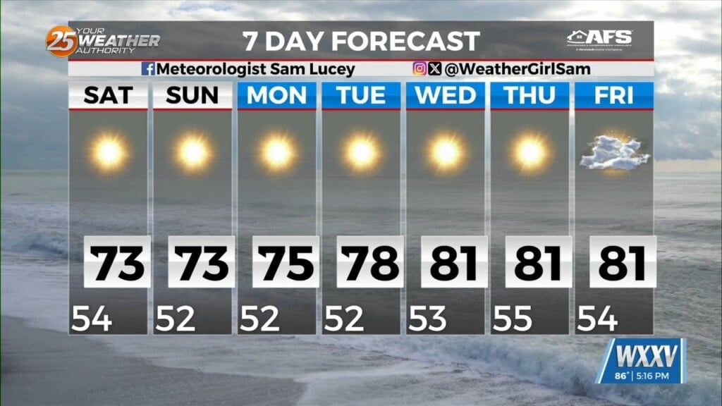
We’re heading into some drier summer days for South MS for the rest of the week, but that will help lead to things being noticeably hotter as well! Couple the extra sun with an upper level high inching into the area, and we’re looking at afternoon highs near 100 as we head through the weekend and into next week. The humidity won’t be backing off either, so expect some dangerously high heat indices in the neighborhood of 105-110°. We’re likely to see some Heat Advisories around that time, so please remember to practice sun and heat safety as you enjoy the outdoors this weekend. We’ll thankfully see the return of a “normal” 20-30% range of afternoon shower activity at the same time, so at least a few places will get some short-lived cooling over the weekend and the start of next week.
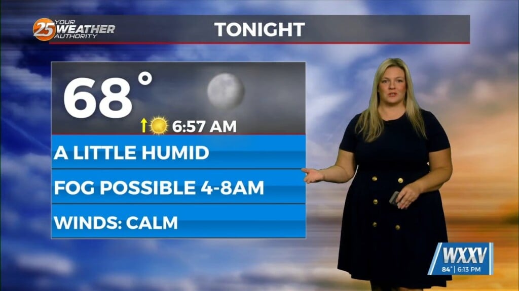
For today, expect it to be slightly hotter with an expected high near 94° with mostly sunny skies and light southerly winds. It will feel like ~105° this afternoon, once again just under Heat Advisory territory.