07/07 Ryan’s “Wettest” Tuesday Morning Forecast
Today should be the wettest day of the workweek, but that just means a few more showers than "normal."
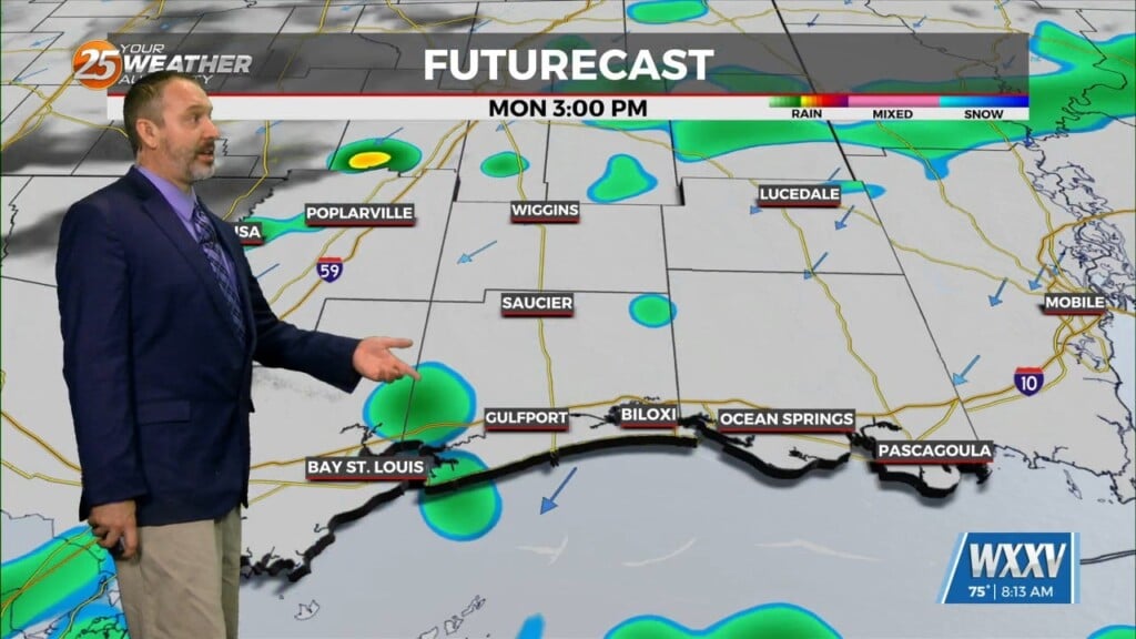
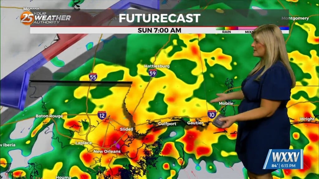
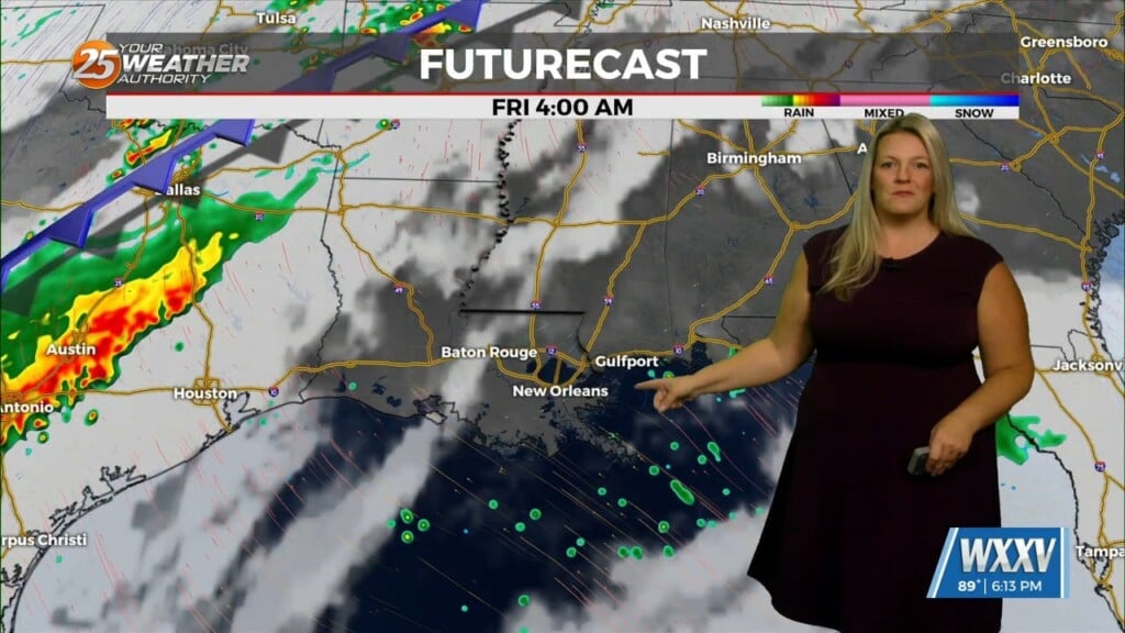
Today is looking like the “wettest” day of the week, which doesn’t mean too much since even our drier days will see at least a few showers. Expect a couple more this afternoon thanks to the tail-end of a nearby front acting as a jumping off point for a bit more consistent shower activity. It’ll begin to move away instead of getting any closer, so while we’ll still see a few afternoon showers each day for the rest of the week things will be drier going forward…for now. That’s due to another front moving in by the end of the week, which will bring some actual rainy days by the start of next week as opposed to nice, summer days with a few showers.
For today, expect a high near 94° with light southwesterly winds and a 30% chance of a few afternoon thunderstorms. While there are no heat advisories at the moment, we will still be reaching ~105° for the heat index so please practice heat and sun safety again today.