8/16 – Rob Knight’s “Hot & Breezy” Monday Afternoon Forecast
TS Fred is in the NE’tern GOM moving north towards the Florida panhandle with landfall later this afternoon.
A front moving in and stalling over the region from the northwest will bring more showers and thunderstorms to the area today as Tropical Storm Fred continues its track north. Not much in the way of significant impacts to our area for this storm as it remains well east of the area. With this storm still being so disorganized and likely fighting shear from the SW, most of the heavy rainfall impacts will remain east of the center and hopefully coastal MS.
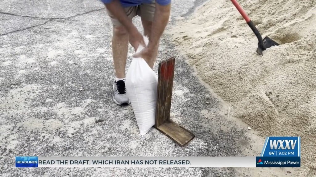
Main discussion in the long term will be impacted by how Grace will form as it approaches the Gulf. As of now, the storm has been downgraded to a Tropical Depression as it continues to move northwest through the Caribbean. It is still too early to discuss any local impacts, but now is the time to review your preparedness plans. If the Tropical Depression ends up NOT impacting the local area as it moves into the Gulf, you can expect the normal diurnally driven summer convection each day through the remainder of the week into the weekend with temperatures remaining in the upper 80s and low 90s.