06/23 – Brantly’s “Scattered Afternoon Showers” Wednesday Forecast
The weak surface front is expected to stall along the coast as upper troughing over the eastern US quickly lifts northeast allowing for high pressure over the central US to nose into the area. A summertime pattern will then be in full force through Thursday. With the influences of the upper ridge, a more standard diurnal cycle with a land breeze developing overnight and a seabreeze developing during the afternoon. These two mesoscale boundaries will provide the focus for afternoon showers and thunderstorms. Expect scattered storms to develop shortly after sunrise just offshore and then weaken throughout the morning. An isolated storm or two could drift near the beaches during the morning. Rain chances then increase along the I-10 corridor during the afternoon as the seabreeze surges inland each day.
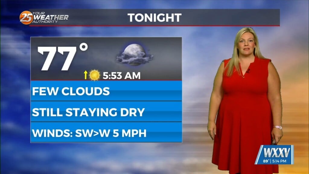
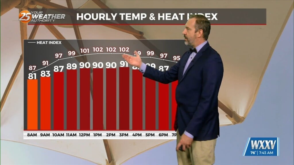
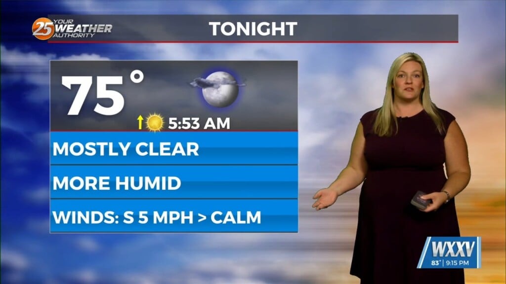
Temperatures during the day will be a run of the mill for the summertime over the Gulf coast through Thursday, with highs in the upper 80s to possibly some lower 90s across the area. Deep low level moisture mentioned above will keep us humid and feeling rather uncomfortable with heat indices in the mid 90s. Lows the next few nights will continue to be in the 70s as well, given the rich low level moisture and continued southerly return flow.