10/15 Ryan’s “More Cloudy” Tuesday Morning Forecast
Noticeably cloudy this morning after yesterday's front and nearby low pressure, but much drier air moves in soon!
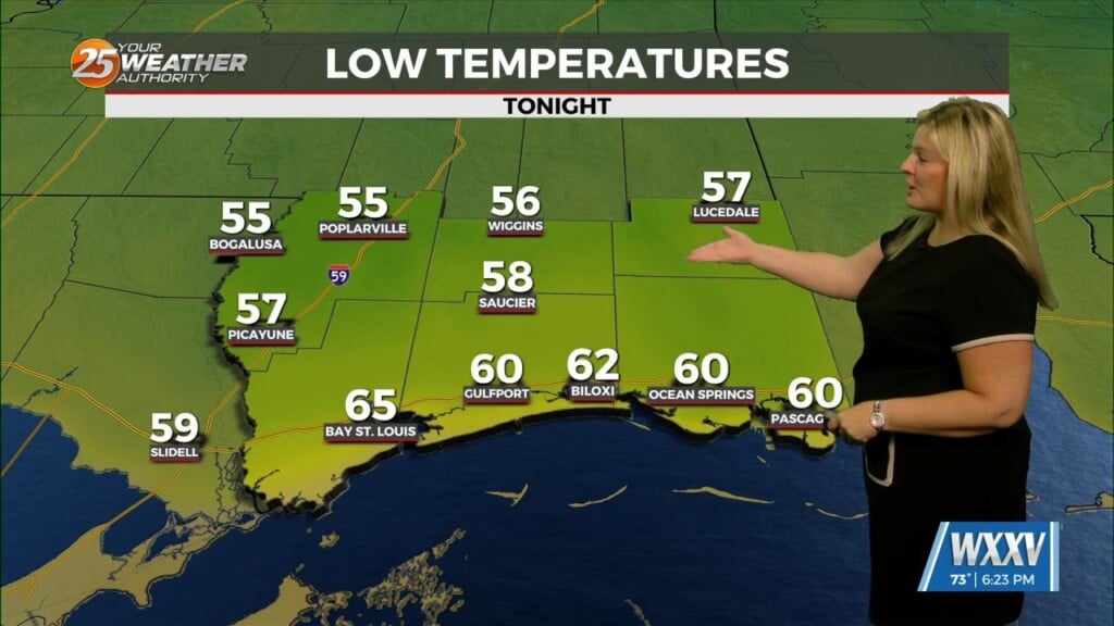
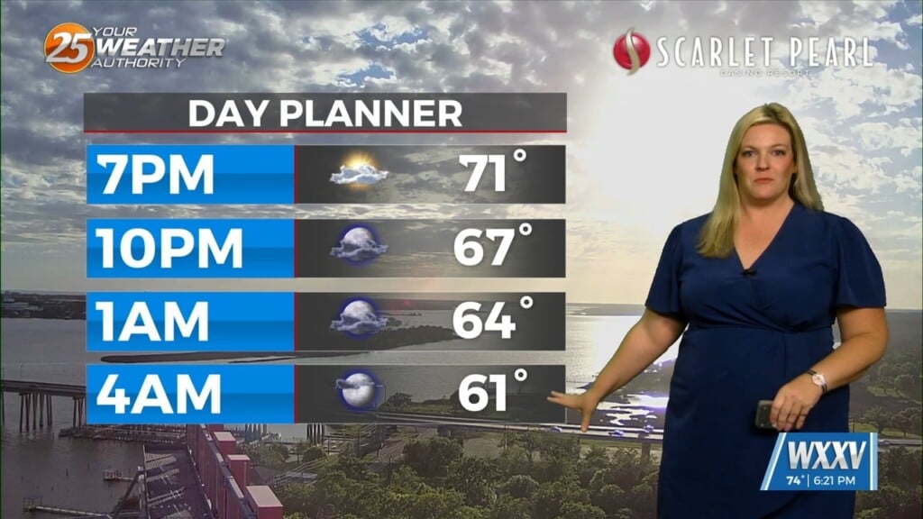
Despite a similar temperature thanks to our cloudy morning skies, it’ll feel noticeably better thanks to considerably drier air. That means for the second day in a row, lows will linger near 64 degrees along the coast, with slightly cooler low-60s inland. This afternoon will be a handful of degrees cooler than yesterday was, which did climb into the upper 80s and low 90s across the area, high falling to our mid-October “normal” near 81 degrees. Cloudy skies will begin on the thin side like you see in thumbnail, but will thicken a bit more this afternoon as things heat up and the a low passes along the coastline. All of this will eventually be pushed further south due to a stronger high moving in, which will bring considerably cooler mornings and afternoons ahead!
Tropics: not much changed here today. A few tropical areas of interest continue to linger in the Atlantic, with the closest developing in the Western Caribbean by the weekend/start of next week. Doesn’t look like it’ll be an issue, but we’ll keep our eye on it.


