09/26 Ryan’s “Cloudy, Breezy” Thursday Morning Forecast
Expect a grey start to the day with a breezy afternoon ahead as Helene landfalls to the east of South MS.
Today will see fluctuating cloud cover and breezy conditions throughout the day thanks to influences from Hurricane Helene, but ultimately it’ll just usher in an appropriately fall-like end to the week. I say fall-like instead of “seasonal” since as we know, summer takes a little longer to filter into South Mississippi.
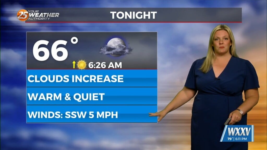
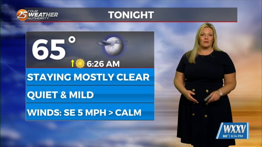
Today will be a nice taste of that though after yesterday/last night’s front pushed in bringing a thunderstorm or two along with it, and a noticeably cooler morning with a low of 69 in the Gulfport area. Today will be slightly cooler thanks to those easterly clouds and breezy conditions, keeping the afternoon high right where it should be around 86. Drier air will continue to filter in as Helene pulls everything towards its center, dropping tonight/tomorrow’s low even further towards the mid 60s. Friday afternoon will be the best day of the week though with cloudless skies and a below average high near 84. Sadly, it doesn’t stick around long and we’re right back to slightly warmer than it should be for the afternoons, but it now looks like mornings will play a bit nicer.
Tropics: Tropical Storm Isaac formed in the Northern Atlantic yesterday, unexpectedly beating the disturbance off the coast of Africa to the “I” name, making “Joyce” all but inevitable in the next couple of days. Helene will landfall later today, still expected to rapidly intensify into a major hurricane in the next 10 hours or so, bringing potentially catastrophic winds and storm surge to the Tallahassee area, with hurricane force winds expected to penetrate deeply inland…likely as far north as Atlanta before it begins to break up.


